Login

Zapomniałeś swój login?

Cookies have to be accepted!
Your browser's cookie functionality is disabled. Please enable this functionality.

Not a member yet?

Register now
Login

Available for registred users only

Log in to use this feature.

Zapomniałeś swój login?

Cookies have to be accepted!
Your browser's cookie functionality is disabled. Please enable this functionality.

Not a member yet?

Register now
Filter
Kategorie
Advanced filters
  • Długość (km)
  • Wysokość
Zapisz filtr Reset filter

TrackRank

QRCode

Technical data

Długość3,0 km Wysokość850 m Way down m Czas trwania03:00 h:m Data21.03.2009
Oceny Author Krajobraz Czynnik zadowolenia Kondycja Technika

Statystyka

3176 Widoki Oceny 243 Downloads / Pliki do pobrania Przeciętnie
Rate
  • Karta trasy
  • Dojazd
  • Downloads / Pliki do pobrania

Zunächst durch Wald, dann über einen Rücken zum Gipfel..

Die Abfahrt erfolgt beim Erreichen der Waldgrenze nach rechts(süd-östlich). Kein GPS-Track vorhanden für die Abfahrt!
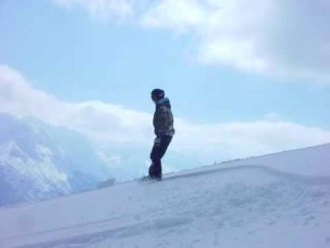
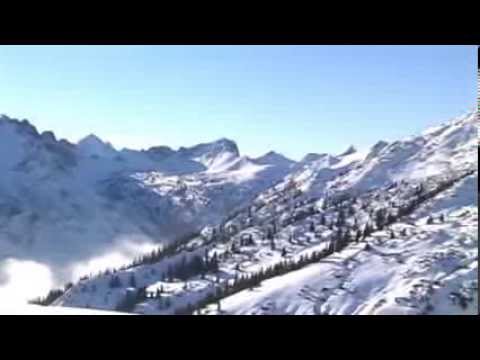
Galeria trasy

Mapa trasy i profil wysokości

  • Open Street Map
  • Google
Minimum height 1109 m Maximum height 1990 m Widok szczegółowy

More about the tour author

hans-lauber
Member since 2009

Send private message

Komentarze

Im Ort Rauth ist ein Wegweiser zur Krinnenspitze.Nach 20m führt eine kurze Stichstrasse schräg links leicht abwärts (20m) auf einen Parkplatz. (Kein Hinweis, sieht aus wie eine Einfahrt auf ein Privatgrundstück). Dort steht auch eine Spendenbox für's Rote Kreuz, als freiwillige Parkgebühr.

GPS tracks

Trackpoints
  • GPX / Garmin Map Source (gpx) download
  • TCX / Garmin Training Center® (tcx) download
  • CRS / Garmin Training Center® (crs) download
  • Google Earth (kml) download
  • G7ToWin (g7t) download
  • TTQV (trk) download
  • Overlay (ovl) download
  • Fugawi (txt) download
  • Kompass (DAV) Track (tk) download
  • Karta trasy (pdf) download
  • Original file of the author (gpx) download

More about the tour author

hans-lauber
Member since 2009

Send private message
Share track
Add to my favorites
Remove from my favorites
Edit tags
My score
Rate
Trasa: Krinnenspitze (1990m) von Rauth/Tannheimer Tal
Rodzaj: Narty
Długość: 3,0 km
Evaluated on:
Czas trwania:
Day(s)
Hour(s)
Minute(s)
Ocena: Krajobraz Czynnik zadowolenia Kondycja Technika