


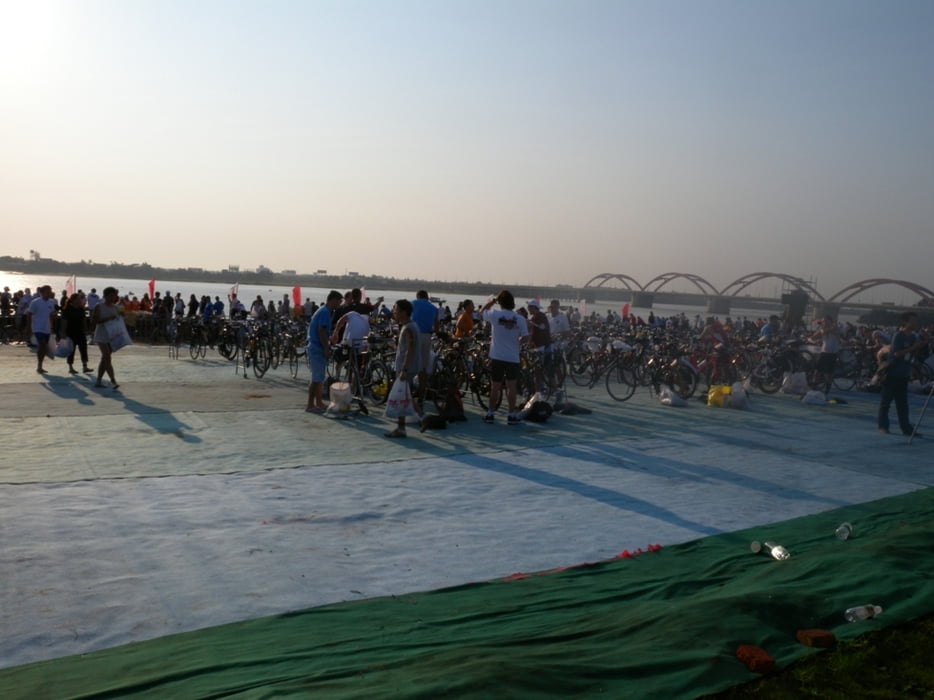
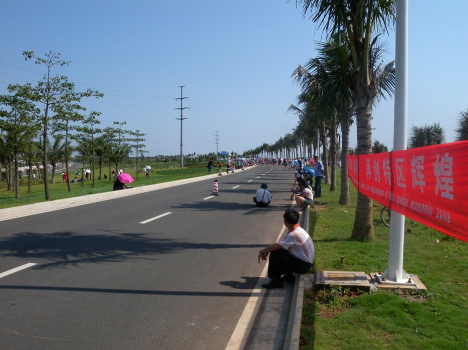
Well... what to say about this crazy race. The course is neither very challenging (profile, technique) nor very scenic. It's just 40km up on a relatively flat and almost straight highway with some minor rolling hills, then some 10km through 2 little villages where the 2 main "ascents" are to be taken (easy and quite flat) and then back to TA the same way on the highway; 2 loops for the IM, 1 loop for the IM70.3. The tarmac quality is excellent and the highway is completely closed for traffic.
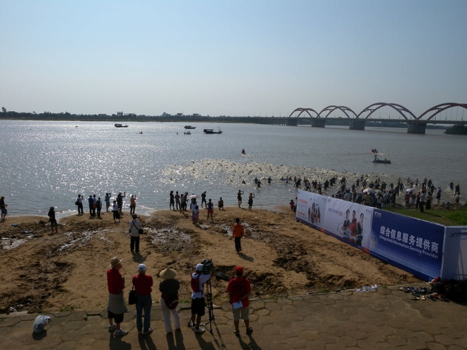
The challenge of this course lays in the swim (2009 it was in the Nandu river with a very strong current), the heat and wind on the bike leg and at the end it's all about how do you cope with the heat (2009 - it was far above 40C in the shade!) during the run on the almost shadeless road.
Should you have ever participated in any other Ironman event in similar climate be warned, this one is the beast! Even a comparizon with the very tough Langkawi China can easily face.
Where in Langkawi you have a nice, calm swim in a bay here you face strong currents either in the river (2009) as well as in the sea (2008). Where in Malaysia you find the aid stations every 10km on the bike with bike bottles filled and every kilometer on the run, here you had to go 15km getting standard water bottles with screw caps(!) resp on the run wait for more than 2km until you can get refreshed.
Some things have improved already from the inaugural 2008 to 2009 race (eg. Gatorade bottles were already with sport caps in 2009), so the event management is taking the feedback seriously and the race will definitely mature in the future. If you do not want to go the full Ironman distance, this race offers the unique opportunity to take the same course at the same time in an 70.3 race as well...
...and finally in general, China and the Hainan island are great destinations for travel...
Further information at
http://www.ironmanchina.comGaleria trasy
Mapa trasy i profil wysokości
Minimum height
Maximum height 153 m
More about the tour author
|
|
mblanarik |
Komentarze

More about the tour author
|
|
mblanarik |
Add to my favorites
Remove from my favorites
Edit tags
Open track
My score
Rate