

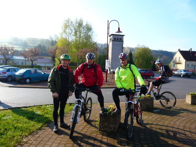

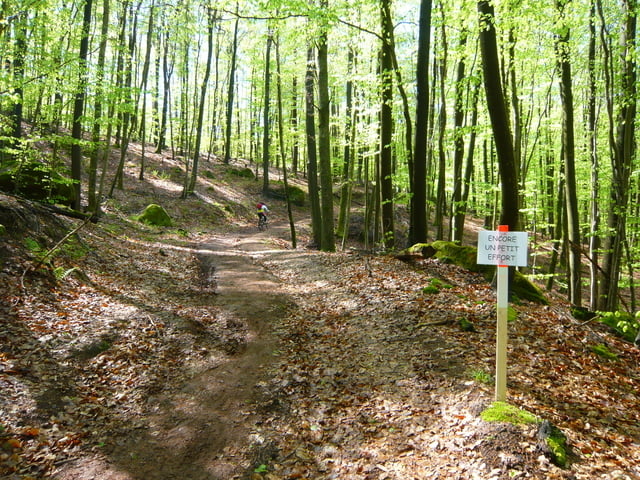
Randonnée qui utilise beaucoup de chemin forestier.
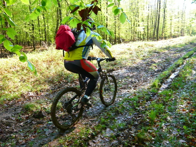
Sur les premiers quinze kilomètres il y avait beaucoup de boue, ce qui arive très souvent à cet endroit.
Further information at
http://www.veloclub-hanviller.fr/index.php?option=com_content&task=view&id=27&Itemid=36Galeria trasy
Mapa trasy i profil wysokości
Minimum height 255 m
Maximum height 419 m
More about the tour author
|
|
pascal.67 |
Komentarze

More about the tour author
|
|
pascal.67 |
Add to my favorites
Remove from my favorites
Edit tags
Open track


My score
Rate