Login

Zapomniałeś swój login?

Cookies have to be accepted!
Your browser's cookie functionality is disabled. Please enable this functionality.

Not a member yet?

Register now
Login

Available for registred users only

Log in to use this feature.

Zapomniałeś swój login?

Cookies have to be accepted!
Your browser's cookie functionality is disabled. Please enable this functionality.

Not a member yet?

Register now
Filter
Kategorie
Advanced filters
  • Długość (km)
  • Wysokość
Zapisz filtr Reset filter

TrackRank

QRCode

Technical data

Długość101,7 km Wysokość3364 m Way down3319 m Czas trwania08:00 h:m Data17.05.2009
Oceny Author Krajobraz Czynnik zadowolenia Kondycja Technika

Statystyka

727 Widoki 1 Ocena 50 Downloads / Pliki do pobrania 5.00 Przeciętnie
Rate
  • Karta trasy
  • Dojazd
  • Downloads / Pliki do pobrania

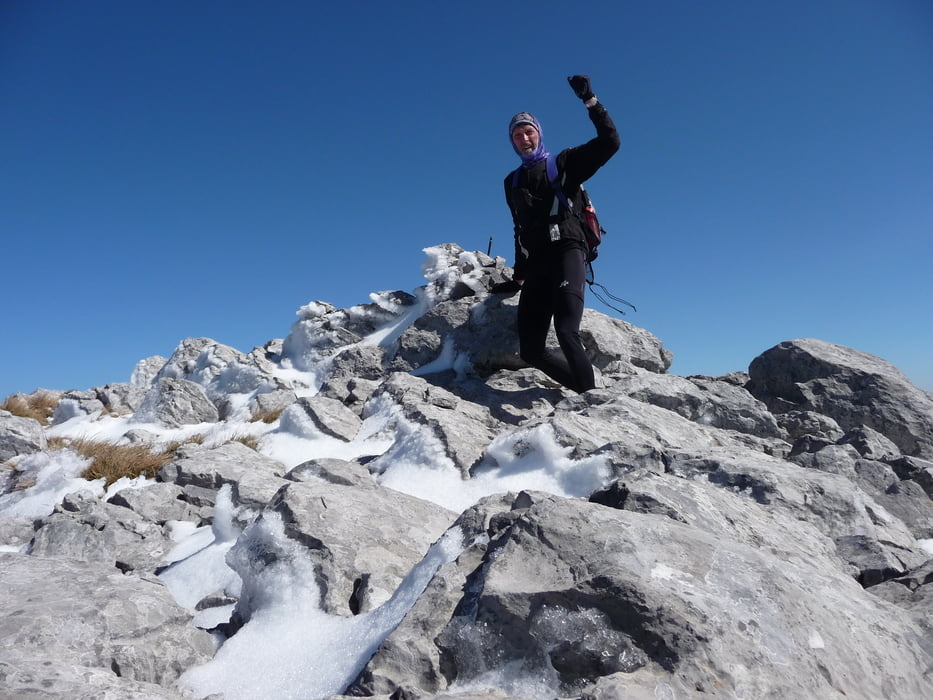
Der Dhirfis ist mit 1743 hm der höchste Berg der zweit größten griechischen Insel Euböa.

Nach dem Start von Androniani (kleiner Ort in der Nähe von Kimy) geht es relativ steil in die Gebirgswälder auf 8-900 hm. Tolle Ausblicke auf das Meer und die im Tal liegenden Dörfer.

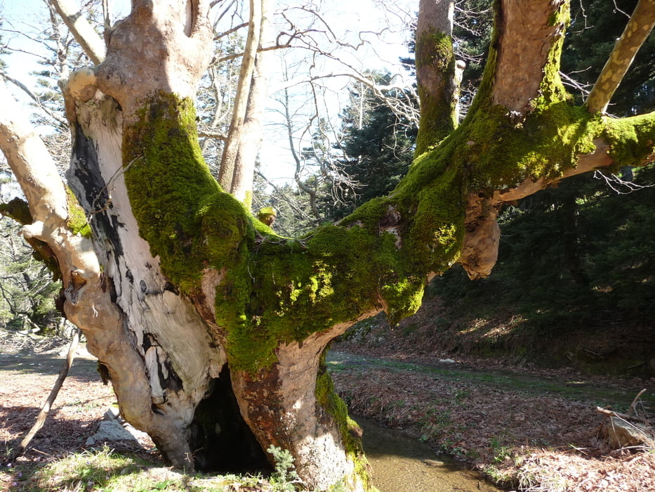
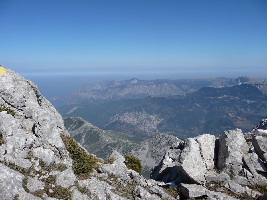
Waldwege wie im Schwarzwald wechseln mit Geröllwegen wie am Gardasee. Vorbei an uralten Platanenbäumen kommt man zum Einstieg an den Dhirfis. Zu Fuß geht es nochmal gut 700 hm auf den Gipfel. Von hier sind die Ausblicke fantastisch. Im April kann es noch sehr kalt und windig sein. Warme Kleidung mit nehmen.

Zurück geht es durch die Dörfer, spät am Abend bin ich wieder am Startpunkt.


Further information at

http://www.trekearth.com/gallery/Europe/Greece/Central_Greece/Evia/Dirfis/

Galeria trasy

Mapa trasy i profil wysokości

  • Open Street Map
  • Google
Minimum height 43 m Maximum height 1741 m Widok szczegółowy

More about the tour author

muelleru
Member since 2008

Send private message

Komentarze

Mein Einstieg war kurz vor Androniani.

GPS tracks

Trackpoints
  • GPX / Garmin Map Source (gpx) download
  • TCX / Garmin Training Center® (tcx) download
  • CRS / Garmin Training Center® (crs) download
  • Google Earth (kml) download
  • G7ToWin (g7t) download
  • TTQV (trk) download
  • Overlay (ovl) download
  • Fugawi (txt) download
  • Kompass (DAV) Track (tk) download
  • Karta trasy (pdf) download
  • Original file of the author (gpx) download

More about the tour author

muelleru
Member since 2008

Send private message
Share track
Add to my favorites
Remove from my favorites
Edit tags
My score
Rate
Trasa: Auf den höchsten Berg Euböas (Dhirfis 1743 hm)
Rodzaj: Rower górski (MTB)
Długość: 101,7 km
Evaluated on:
Czas trwania:
Day(s)
Hour(s)
Minute(s)
Ocena: Krajobraz Czynnik zadowolenia Kondycja Technika