Login

Zapomniałeś swój login?

Cookies have to be accepted!
Your browser's cookie functionality is disabled. Please enable this functionality.

Not a member yet?

Register now
Login

Available for registred users only

Log in to use this feature.

Zapomniałeś swój login?

Cookies have to be accepted!
Your browser's cookie functionality is disabled. Please enable this functionality.

Not a member yet?

Register now
Filter
Kategorie
Advanced filters
  • Długość (km)
  • Wysokość
Zapisz filtr Reset filter

TrackRank

QRCode

Technical data

Długość32,2 km Wysokość1398 m Way down1320 m Czas trwania04:00 h:m Data18.08.2006
Oceny Author Krajobraz Czynnik zadowolenia Kondycja Technika

Statystyka

3609 Widoki 2 Oceny 980 Downloads / Pliki do pobrania 4.00 Przeciętnie
Rate
  • Karta trasy
  • Dojazd
  • Downloads / Pliki do pobrania
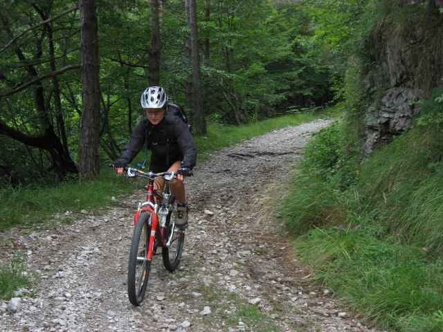
Bei dieser Tour ist schon der Anfahrtsweg beindruckend mit dem Auto ins Vale di Valvestino und entlang des gleichnamigen Stausees zu fahren. Zu Beginn der Tour kurbeln wir uns etliche hm auf der wenig befahrenen Fahrstrasse nach Magasa und weiter Richtung Cadria. Weiter führt diese Tour mit ein paar giftigen Anstiegen (bis zu 30 % ! - würg) über etliche Pässe in sehr sehr wirklich sehr einsamen Tälern mit schönen Aussichten.

Galeria trasy

Mapa trasy i profil wysokości

  • Open Street Map
  • Google
Minimum height 525 m Maximum height 1383 m Widok szczegółowy

More about the tour author

ingo
Member since 2001

Send private message

Komentarze

Andreas Jung on 10.09.2006

Tolle Tour !
Höhenprofil nicht so ernst nehmen. Nach dem höchsten Punkt geht es im Wesentlichen bergab.
Von Riva nach Gargnano. In Gargnano ins Valvestino Tal abzweigen Richtung Lago d´Idro, Capovalle, Magasa. Kurz nach Ende des Stausees (ca. 500 m nach Molino) gibt es Parkmöglichkeiten. Die Tour führt im Uhrzeigersinn

GPS tracks

Trackpoints
  • GPX / Garmin Map Source (gpx) download
  • TCX / Garmin Training Center® (tcx) download
  • CRS / Garmin Training Center® (crs) download
  • Google Earth (kml) download
  • G7ToWin (g7t) download
  • TTQV (trk) download
  • Overlay (ovl) download
  • Fugawi (txt) download
  • Kompass (DAV) Track (tk) download
  • Karta trasy (pdf) download
  • Original file of the author (g7t) download

More about the tour author

ingo
Member since 2001

Send private message
Share track
Add to my favorites
Remove from my favorites
Edit tags
My score
Rate
Trasa: Vale Di Valvestino
Rodzaj: Rower górski (MTB)
Długość: 32,2 km
Evaluated on:
Czas trwania:
Day(s)
Hour(s)
Minute(s)
Ocena: Krajobraz Czynnik zadowolenia Kondycja Technika