Login

Zapomniałeś swój login?

Cookies have to be accepted!
Your browser's cookie functionality is disabled. Please enable this functionality.

Not a member yet?

Register now
Login

Available for registred users only

Log in to use this feature.

Zapomniałeś swój login?

Cookies have to be accepted!
Your browser's cookie functionality is disabled. Please enable this functionality.

Not a member yet?

Register now
Filter
Kategorie
Advanced filters
  • Długość (km)
  • Wysokość
Zapisz filtr Reset filter

TrackRank

QRCode

Technical data

Długość34,2 km Wysokość940 m Way down916 m Czas trwania02:15 h:m Data28.08.2006
Oceny Author Krajobraz Czynnik zadowolenia Kondycja Technika

Statystyka

1014 Widoki 2 Oceny 168 Downloads / Pliki do pobrania 5.00 Przeciętnie
Rate
  • Karta trasy
  • Dojazd
  • Downloads / Pliki do pobrania
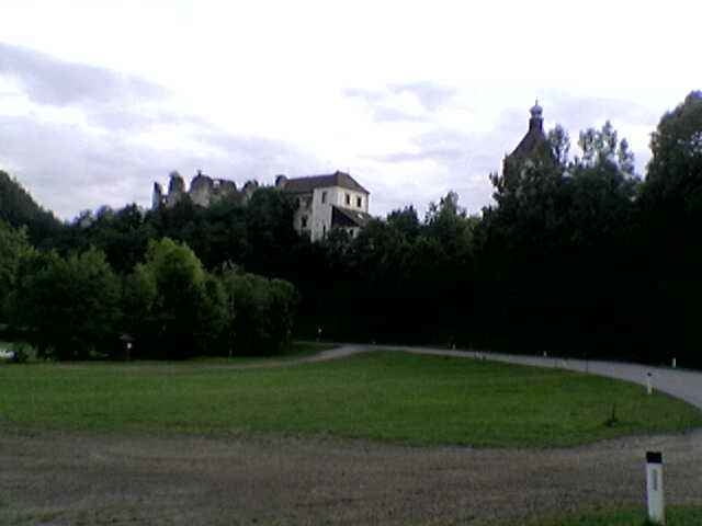
Diese Tour führt über die Wintermühle nach Pregarten und weiter über Pregartsdorf nach Reichenstein. Von hier geht es ein wenig bergauf in Richtung Gaisruckdorf, Hundsdorf und vorbei an der Haltestelle Selker in Richtung Dingdorf auf den Kempfendorferberg. Nach einer kurzen Rast beim Gipfelkreuz ist es nur mehr ein Katzensprung zum Ausgangspunkt.

Further information at

http://www.bike-4-fun.at

Galeria trasy

Mapa trasy i profil wysokości

  • Open Street Map
  • Google
Minimum height 354 m Maximum height 742 m Widok szczegółowy

More about the tour author

franz.resch
Member since 2006

Send private message

Komentarze

Von Linz auf der B310 in Richtung Freistadt bis ca. 2 km vor Neumarkt i. Mühlkreis.

GPS tracks

Trackpoints
  • GPX / Garmin Map Source (gpx) download
  • TCX / Garmin Training Center® (tcx) download
  • CRS / Garmin Training Center® (crs) download
  • Google Earth (kml) download
  • G7ToWin (g7t) download
  • TTQV (trk) download
  • Overlay (ovl) download
  • Fugawi (txt) download
  • Kompass (DAV) Track (tk) download
  • Karta trasy (pdf) download
  • Original file of the author (gpx) download

More about the tour author

franz.resch
Member since 2006

Send private message
Share track
Add to my favorites
Remove from my favorites
Edit tags
My score
Rate
Trasa: Mit dem MTB über Pregarten nach Reichenstein
Rodzaj: Rower górski (MTB)
Długość: 34,2 km
Evaluated on:
Czas trwania:
Day(s)
Hour(s)
Minute(s)
Ocena: Krajobraz Czynnik zadowolenia Kondycja Technika