Login

Zapomniałeś swój login?

Cookies have to be accepted!
Your browser's cookie functionality is disabled. Please enable this functionality.

Not a member yet?

Register now
Login

Available for registred users only

Log in to use this feature.

Zapomniałeś swój login?

Cookies have to be accepted!
Your browser's cookie functionality is disabled. Please enable this functionality.

Not a member yet?

Register now
Filter
Kategorie
Advanced filters
  • Długość (km)
  • Wysokość
Zapisz filtr Reset filter

TrackRank

QRCode

Technical data

Długość110,8 km Wysokość2090 m Way down2088 m Czas trwania04:15 h:m Data01.05.2010
Oceny Author User Krajobraz Czynnik zadowolenia Kondycja Technika

Statystyka

2502 Widoki 1 Ocena 226 Downloads / Pliki do pobrania 4.00 Przeciętnie
Rate
  • Karta trasy
  • Dojazd
  • Downloads / Pliki do pobrania

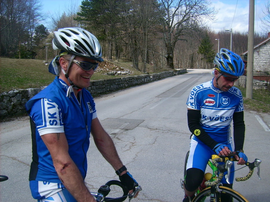
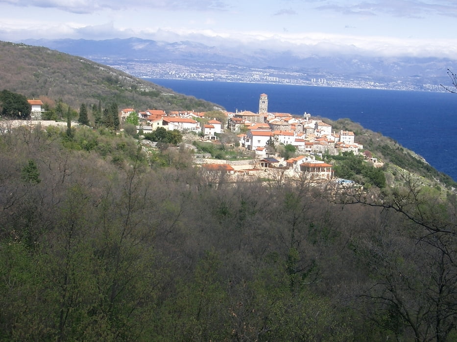
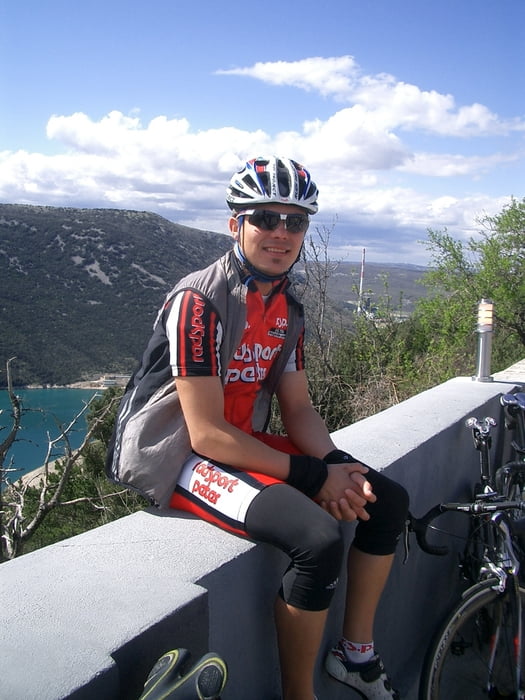
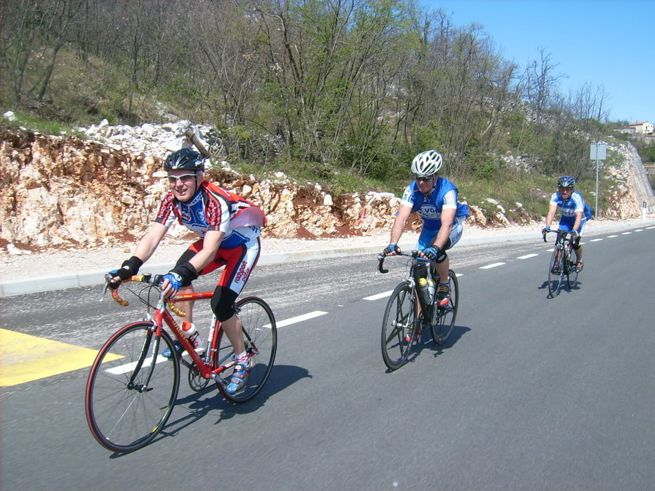
Ausgangspunkt dieser Tour ist Pazin. Die Strecke führt zuerst nach Norden in Richtung Ucka, den höchsten Berg von Istrien. Lange Zeit kann man den Ucka immer rechter Hand sehen ehe der eigentliche ca. 5 km lange Anstieg auf die Passhöhe beginnt. (bis ca. 18% ist der steilste Anstieg). Auf der Passhöhe bietet sich die Möglichkeit zur Rast in einem Gasthaus, ehe man die Abfahrt auf die Ostseite der Halbinsel in Angriff nimmt. Kurz nach der Passhöhe sollte man sich Zeit nehmen und die schöne Aussicht auf das Meer und die Inseln genießen. Nach der kurvenreichen Abfahrt führt die Tour entlang der wunderschönen Küste ehe man wieder zurück ins Landesinnere in Richtung Pazin fährt.

Further information at

http://www.bike-4-fun.at/

Galeria trasy

Mapa trasy i profil wysokości

  • Open Street Map
  • Google
Minimum height -9 m Maximum height 966 m Widok szczegółowy

More about the tour author

franz.resch
Member since 2006

Send private message

Komentarze

Pazin liegt im Landesinneren und ist von Porec über eine gut ausgebaute Straße erreichbar.

GPS tracks

Trackpoints
  • GPX / Garmin Map Source (gpx) download
  • TCX / Garmin Training Center® (tcx) download
  • CRS / Garmin Training Center® (crs) download
  • Google Earth (kml) download
  • G7ToWin (g7t) download
  • TTQV (trk) download
  • Overlay (ovl) download
  • Fugawi (txt) download
  • Kompass (DAV) Track (tk) download
  • Karta trasy (pdf) download
  • Original file of the author (gpx) download

More about the tour author

franz.resch
Member since 2006

Send private message
Share track
Add to my favorites
Remove from my favorites
Edit tags
My score
Rate
Trasa: Küstenklassik mit Ucka
Rodzaj: Rower szosowy
Długość: 110,8 km
Evaluated on:
Czas trwania:
Day(s)
Hour(s)
Minute(s)
Ocena: Krajobraz Czynnik zadowolenia Kondycja Technika