Login

Zapomniałeś swój login?

Cookies have to be accepted!
Your browser's cookie functionality is disabled. Please enable this functionality.

Not a member yet?

Register now
Login

Available for registred users only

Log in to use this feature.

Zapomniałeś swój login?

Cookies have to be accepted!
Your browser's cookie functionality is disabled. Please enable this functionality.

Not a member yet?

Register now
Filter
Kategorie
Advanced filters
  • Długość (km)
  • Wysokość
Zapisz filtr Reset filter

TrackRank

QRCode

Technical data

Długość14,1 km Wysokość154 m Way down155 m Czas trwania03:10 h:m Data21.06.2010
Oceny Author Krajobraz Czynnik zadowolenia Kondycja Technika

Statystyka

209 Widoki Oceny 3 Downloads / Pliki do pobrania Przeciętnie
Rate
  • Karta trasy
  • Dojazd
  • Downloads / Pliki do pobrania

 Trasa w sam raz na sobotnie popołudnie. 

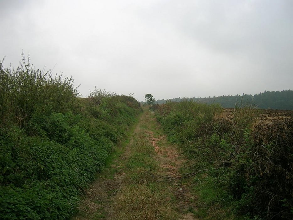
Piękne krajobrazy wzdłuż rzeczki Biała od miasta Biała do wsi Prężynka

Powrót polnymi drogami.

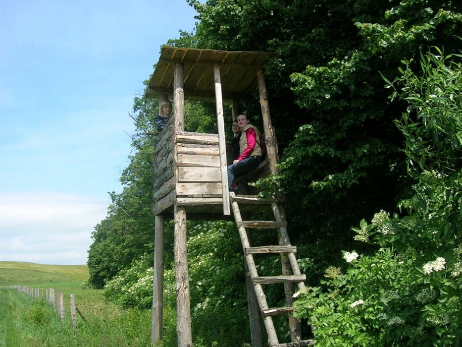
Sarny, jastrzębie, ambony strzeleckie oraz liczne jary - oto co jest główną atrakcją trasy

Galeria trasy

Mapa trasy i profil wysokości

  • Open Street Map
  • Google
Minimum height 217 m Maximum height 286 m Widok szczegółowy

More about the tour author

Witasf
Member since 2010

Send private message

Komentarze

GPS tracks

Trackpoints
  • GPX / Garmin Map Source (gpx) download
  • TCX / Garmin Training Center® (tcx) download
  • CRS / Garmin Training Center® (crs) download
  • Google Earth (kml) download
  • G7ToWin (g7t) download
  • TTQV (trk) download
  • Overlay (ovl) download
  • Fugawi (txt) download
  • Kompass (DAV) Track (tk) download
  • Karta trasy (pdf) download
  • Original file of the author (gpx) download

More about the tour author

Witasf
Member since 2010

Send private message
Share track
Add to my favorites
Remove from my favorites
Edit tags
My score
Rate
Trasa: Białka
Rodzaj: Trasy rowerowe
Długość: 14,1 km
Evaluated on:
Czas trwania:
Day(s)
Hour(s)
Minute(s)
Ocena: Krajobraz Czynnik zadowolenia Kondycja Technika