


Der Termin 6. April 2011 war goldrichtig für diese Tour.
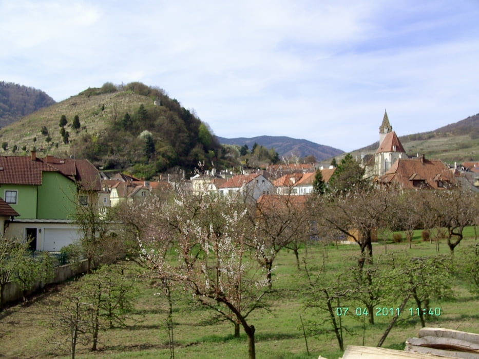
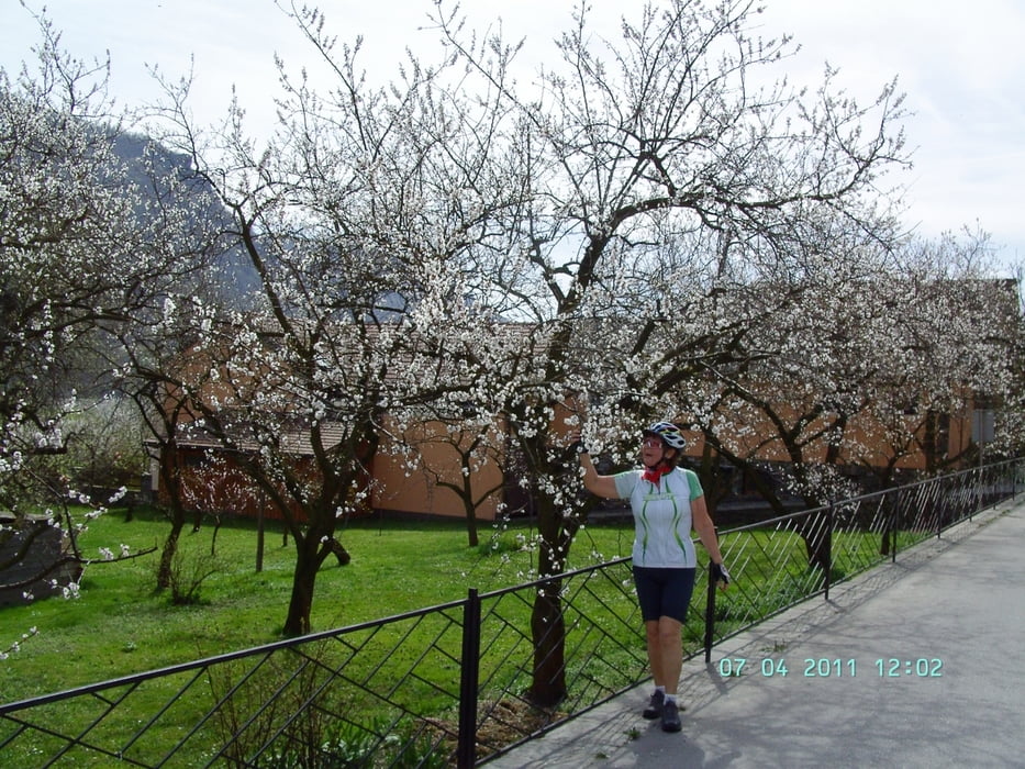
Die Marillenbäume standen in voller Blüte.
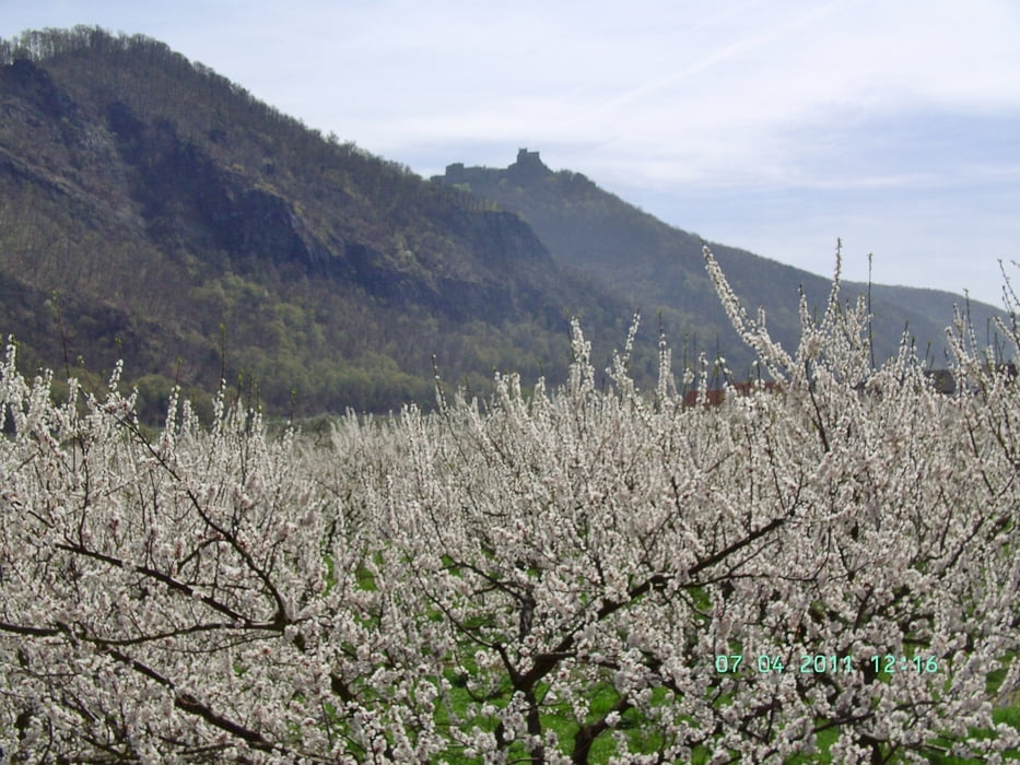
Der westlichste Punkt dieser Route war Willendorf. Dieser Ort ist nicht nur durch die Fundstätte der Venus von Willendorf sehenswert, sonder hier findet man auch die größten Marillenbaumplantagen in der Wachau.
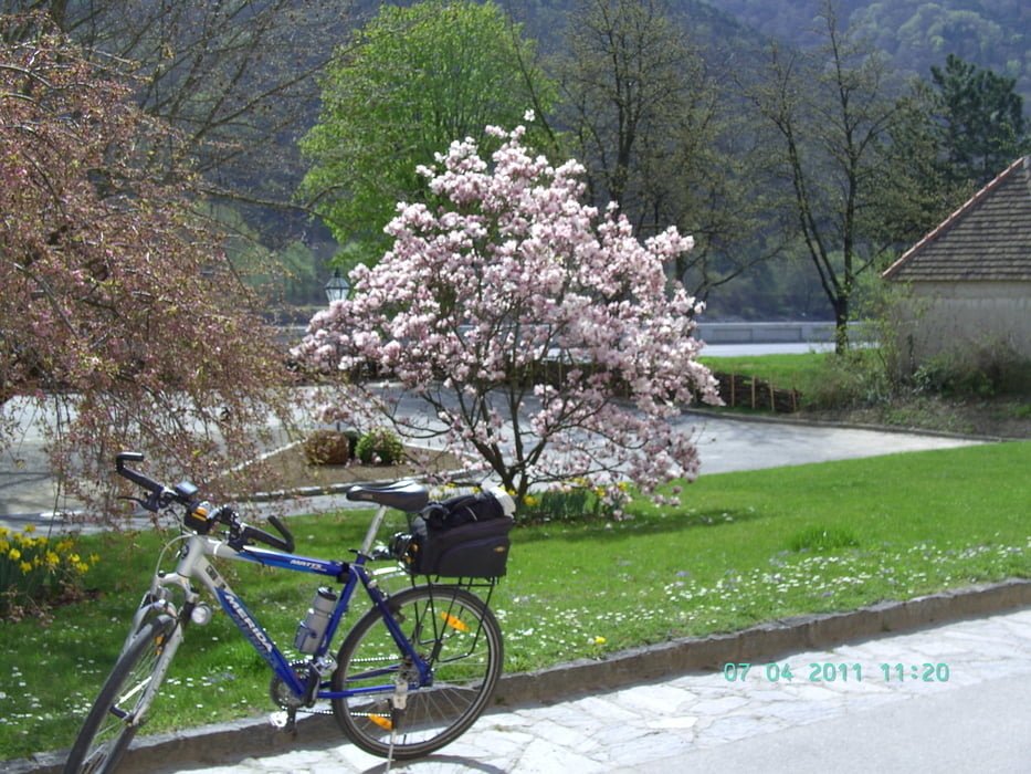
Die Route ist eine Rundtour unter Verwendung der Autofähre in Spitz an der Donau.
Man kann diese Tour auch bis zur Donaubrücke in Melk fortsetzen und von dort rechtsseitig der Donau zum Ausgangspunkt zurück fahren.
Die Marillenbäume standen in voller Blüte.
Der westlichste Punkt dieser Route war Willendorf. Dieser Ort ist nicht nur durch die Fundstätte der Venus von Willendorf sehenswert, sonder hier findet man auch die größten Marillenbaumplantagen in der Wachau.
Die Route ist eine Rundtour unter Verwendung der Autofähre in Spitz an der Donau.
Man kann diese Tour auch bis zur Donaubrücke in Melk fortsetzen und von dort rechtsseitig der Donau zum Ausgangspunkt zurück fahren.
Further information at
http://www.wachau.at/donau/WN/Galeria trasy
Mapa trasy i profil wysokości
Minimum height 198 m
Maximum height 240 m
More about the tour author

|
efelber |
Komentarze

More about the tour author
|
|
efelber |
Add to my favorites
Remove from my favorites
Edit tags
Open track
My score
Rate