Login

Zapomniałeś swój login?

Cookies have to be accepted!
Your browser's cookie functionality is disabled. Please enable this functionality.

Not a member yet?

Register now
Login

Available for registred users only

Log in to use this feature.

Zapomniałeś swój login?

Cookies have to be accepted!
Your browser's cookie functionality is disabled. Please enable this functionality.

Not a member yet?

Register now
Filter
Kategorie
Advanced filters
  • Długość (km)
  • Wysokość
Zapisz filtr Reset filter

TrackRank

QRCode

Technical data

Długość16,3 km Wysokość1058 m Way down1058 m Czas trwania10:06 h:m Data09.04.2011
Oceny Author Krajobraz Czynnik zadowolenia Kondycja Technika

Statystyka

679 Widoki Oceny 27 Downloads / Pliki do pobrania Przeciętnie
Rate
  • Karta trasy
  • Dojazd
  • Downloads / Pliki do pobrania

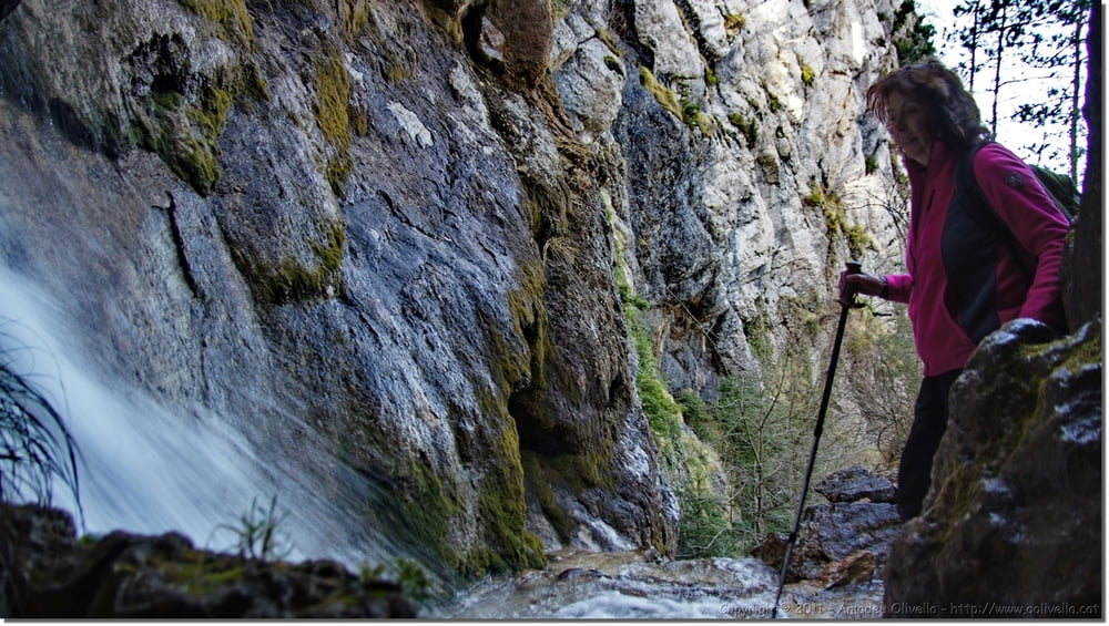
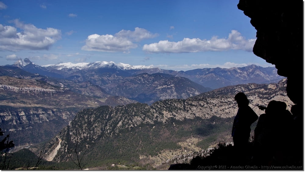
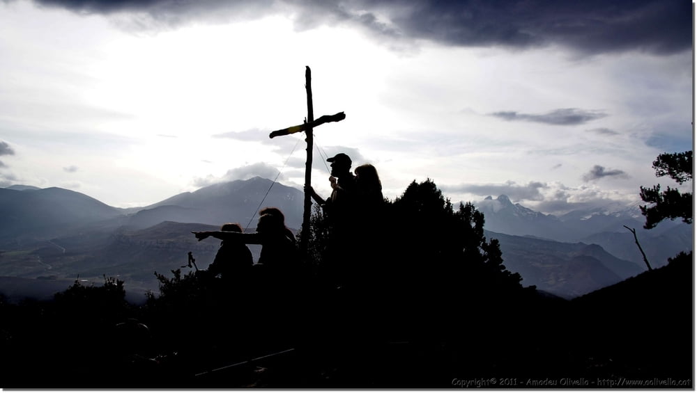
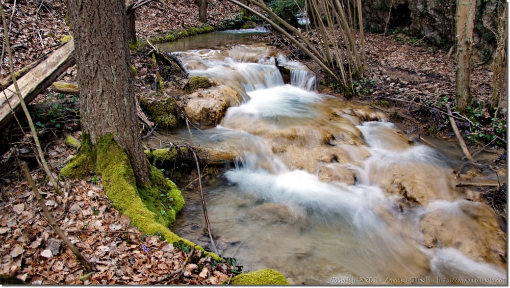
 Sant Sadurní de Malanyeu - escales de Cal Pigot - bosc de les Maleses - la Foradada - serra de Fulleracs - portell del Porc - bauma de Crisp – el Grapissot - coll del Tosquer – serra del Mill – el Mal Pas - la Creueta – el Grau - Malanyeu - Alt Berguedà - 26 de març de 2011

Further information at

http://www.aolivella.cat/Muntanya/Primavera/Malanyeu_2011/index.html

Galeria trasy

Mapa trasy i profil wysokości

  • Open Street Map
  • Google
Minimum height 939 m Maximum height 1687 m Widok szczegółowy

More about the tour author

amadeu
Member since 2011

Send private message

Komentarze

GPS tracks

Trackpoints
  • GPX / Garmin Map Source (gpx) download
  • TCX / Garmin Training Center® (tcx) download
  • CRS / Garmin Training Center® (crs) download
  • Google Earth (kml) download
  • G7ToWin (g7t) download
  • TTQV (trk) download
  • Overlay (ovl) download
  • Fugawi (txt) download
  • Kompass (DAV) Track (tk) download
  • Karta trasy (pdf) download
  • Original file of the author (gpx) download

More about the tour author

amadeu
Member since 2011

Send private message
Share track
Add to my favorites
Remove from my favorites
Edit tags
My score
Rate
Trasa: Excursió per la vall de Malanyeu
Rodzaj: Trasy górskie
Długość: 16,3 km
Evaluated on:
Czas trwania:
Day(s)
Hour(s)
Minute(s)
Ocena: Krajobraz Czynnik zadowolenia Kondycja Technika