


- Rundkurs: Im Uhrzeigersinn
- Start/Ziel: Marling/Meran
- Von MH 300 - 1.515 von KM 0 - 22,5 auf Staatsstrasse von Marling auf den Gampenpass. Startet frühmorgens(7 Uhr u. früher), um nicht dauernd von schnellen Motorrädern überholt zu werden.
- Von MH 1.515 - 1.255 von KM 22,5 - 30,4 auf Steig bzw. Forstweg zum Gasthaus Arnica.
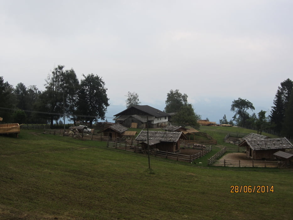
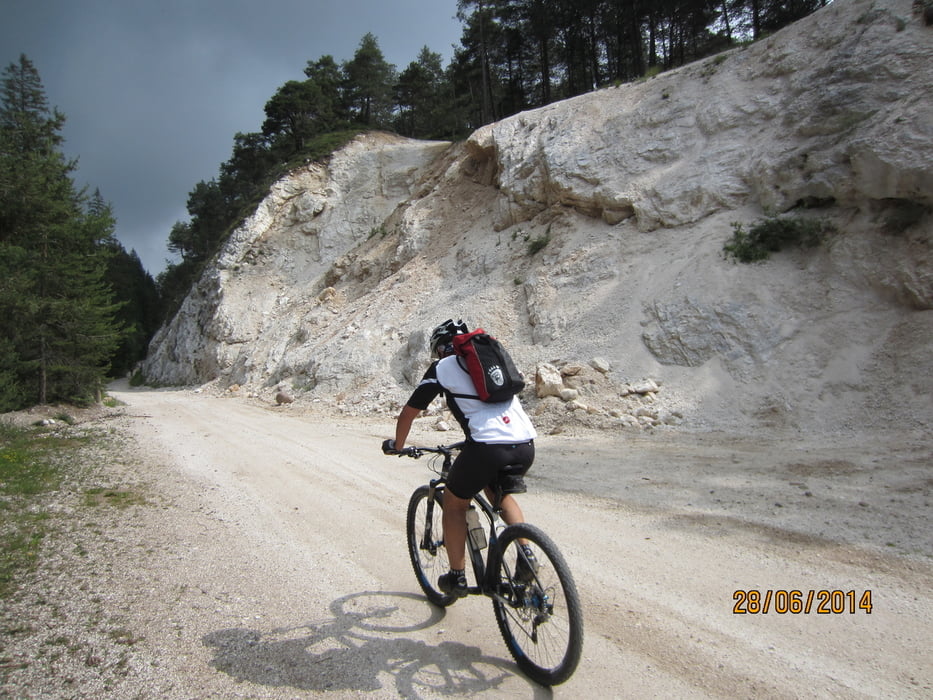
- Von MH 1.255 - 1.813 von KM 30,4 - 38,9 auf Schotterwg hoch zur Castrin Alm(Kaiserschmarrn 3,50€!!). Einige kurze, etwas steilere Abschnitte.
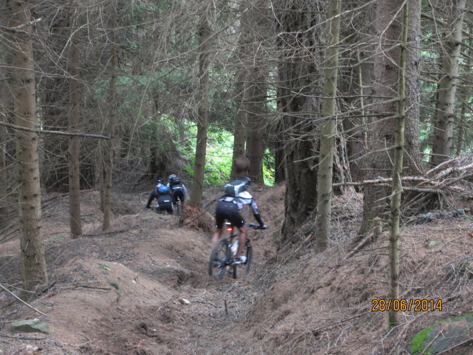
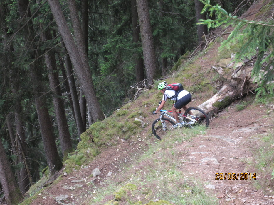
- Von MH 1.813 - 842 von KM 38,9 - 47,9 Abfahrt nach Mitterbad/Ultental auf Forstweg, Provinzstrasse mit Tunnel ca. 1 KM, bzw. flowigem, an einigen Stellen anspruchsvollem Trail.
- Rückfahrt nach Marling auf Provinzstrasse.
- Bitte nicht die Bike-Beleuchtung vergessen(Tunnels)
galéria trás
Mapa trasy a výškový profil
Minimum height 288 m
Maximum height 1813 m
More about the tour author
|
|
MargesinFriedrich |
komentáre

GPS trasy
Trackpoints-
GPX / Garmin Map Source (gpx) download
-
TCX / Garmin Training Center® (tcx) download
-
CRS / Garmin Training Center® (crs) download
-
Google Earth (kml) download
-
G7ToWin (g7t) download
-
TTQV (trk) download
-
Overlay (ovl) download
-
Fugawi (txt) download
-
Kompass (DAV) Track (tk) download
-
list trasy (pdf) download
-
Original file of the author (gpx) download
More about the tour author
|
|
MargesinFriedrich |
Add to my favorites
Remove from my favorites
Edit tags
Open track
My score
Rate