


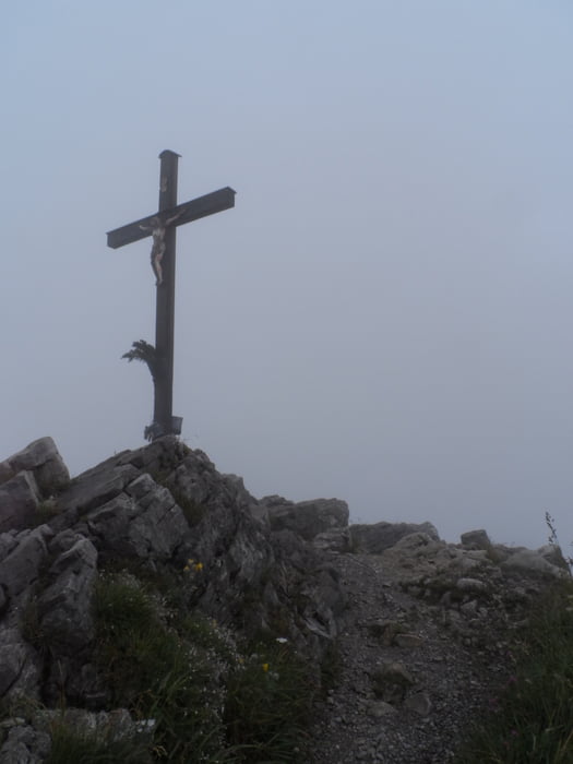
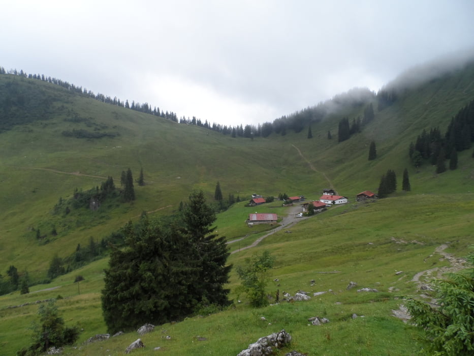
Die Brecherspitz gilt als Hausberg von Schliersee. Der pyramidenförmige Berg wird in der Regel von Neuhaus aus bestiegen. Anfangs geht es auf einem Waldweg in Serpentinen bis zur einer Alm, dann steiler hinauf auf einen Sattel und von dort aus über einen Kamm zum Gipfelkreuz. Der Abstieg zur Oberen Firstalm erfordert Trittsicherheit und Schwindelfreiheit. Der Weg führt über einen kurzen gesicherten Steig (Schwierigkeitsgrad A-B). Die Sicht betrug bei meine Tour am Gipfelkreuz knappe 50 m - insofern kann ich nichts über das Bergpanorama sagen.
Further information at
http://de.wikipedia.org/wiki/Brecherspitzgaléria trás

Mapa trasy a výškový profil
Minimum height 794 m
Maximum height 1662 m
More about the tour author
|
|
riemchens |
komentáre

Von Miesbach auf der B472 nach Schliersee und weiter nach Neuhaus zum Ausgangspunkt der Tour.
GPS trasy
Trackpoints-
GPX / Garmin Map Source (gpx) download
-
TCX / Garmin Training Center® (tcx) download
-
CRS / Garmin Training Center® (crs) download
-
Google Earth (kml) download
-
G7ToWin (g7t) download
-
TTQV (trk) download
-
Overlay (ovl) download
-
Fugawi (txt) download
-
Kompass (DAV) Track (tk) download
-
list trasy (pdf) download
-
Original file of the author (gpx) download
More about the tour author
|
|
riemchens |
Add to my favorites
Remove from my favorites
Edit tags
Open track
My score
Rate