Login

Zabudli ste prihlasovacia meno

Cookies have to be accepted!
Your browser's cookie functionality is disabled. Please enable this functionality.

Not a member yet?

Register now
Login

Available for registred users only

Log in to use this feature.

Zabudli ste prihlasovacia meno

Cookies have to be accepted!
Your browser's cookie functionality is disabled. Please enable this functionality.

Not a member yet?

Register now
Filter
Kategórie
Advanced filters
  • Dĺžka (km)
  • výškomer
Uložiť filter Reset filter

TrackRank

QRCode

Technical data

Dĺžka28,9 km výškomer2353 m Way down2375 m Doba04:48 h:m dátum01.03.2015
ohodnotenia Author Kraj pôžitok z túry kondícia technika

štatistika

441 náhľady ohodnotenia 10 Stiahnutia priemer
Rate
  • list trasy
  • príjazd
  • Stiahnutia

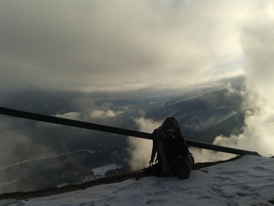
Beim ersten Mal den normalen Aufstieg über den Forstweg und weiter zum Herzogstand, runter jeweils direttissima die Skipiste, 2x Wiederholung ab 1060m (nach Schlehdorfalm), letzter Aufstieg zum Fahrenkopf.

Die finale Abkürzung über die alte Skipiste zum Walchensee ist sehr steil, lieber weglassen!

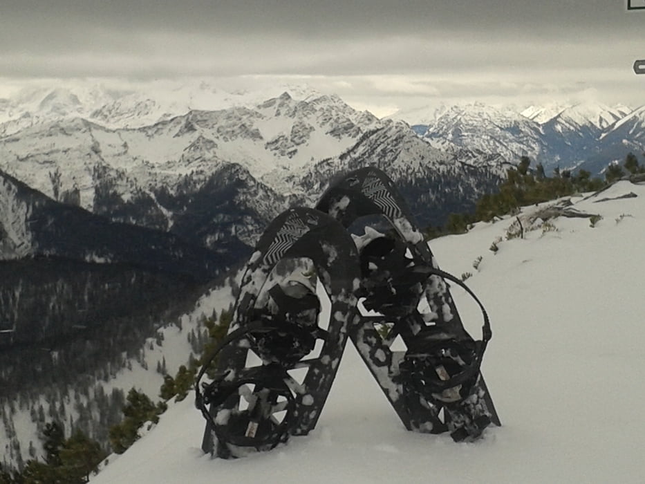
Bergauf wurden Schneeschuhe benutzt, downhill nur Aldi-Spikes ;-)

Wanderzeit ca. 4h, dann natürlich nur 1x hoch...


galéria trás

Mapa trasy a výškový profil

  • Open Street Map
  • Google
Minimum height 790 m Maximum height 1747 m Detailný pohľad

More about the tour author

Mathis_muc
Member since 2008

Send private message

komentáre

GPS trasy

Trackpoints
  • GPX / Garmin Map Source (gpx) download
  • TCX / Garmin Training Center® (tcx) download
  • CRS / Garmin Training Center® (crs) download
  • Google Earth (kml) download
  • G7ToWin (g7t) download
  • TTQV (trk) download
  • Overlay (ovl) download
  • Fugawi (txt) download
  • Kompass (DAV) Track (tk) download
  • list trasy (pdf) download
  • Original file of the author (gpx) download

More about the tour author

Mathis_muc
Member since 2008

Send private message
Share track
Add to my favorites
Remove from my favorites
Edit tags
My score
Rate
trasa: Wintertrail Herzogstand extended
Druh: snežnice
Dĺžka: 28,9 km
Evaluated on:
Doba:
Day(s)
Hour(s)
Minute(s)
ohodnotenie: Kraj pôžitok z túry kondícia technika