


Organisation:
Es ist keine Rundtour:
Für die in Raum Gießen wohnhaften Radler und Radlerinnen kann der Zug von Gießen nach Haiger genommen werden (ca. 30 Minuten) und zurück von Limburg nach Gießen wieder mit dem Zug (ca. 50 Minuten).
Charakteristik:
Die Tour führt durch vier sehr unterschiedliche Landschaftsabschnitte:
A Zu Beginn: Typisches Hochsauerland mit Hochebenen oberhalb von 500/600 Meter.
B Anschließend: Weitläufig, hügelig und flowig mit Blick in die Ebene bei Montabaur - z.B. die Westerwälder Seenplatte
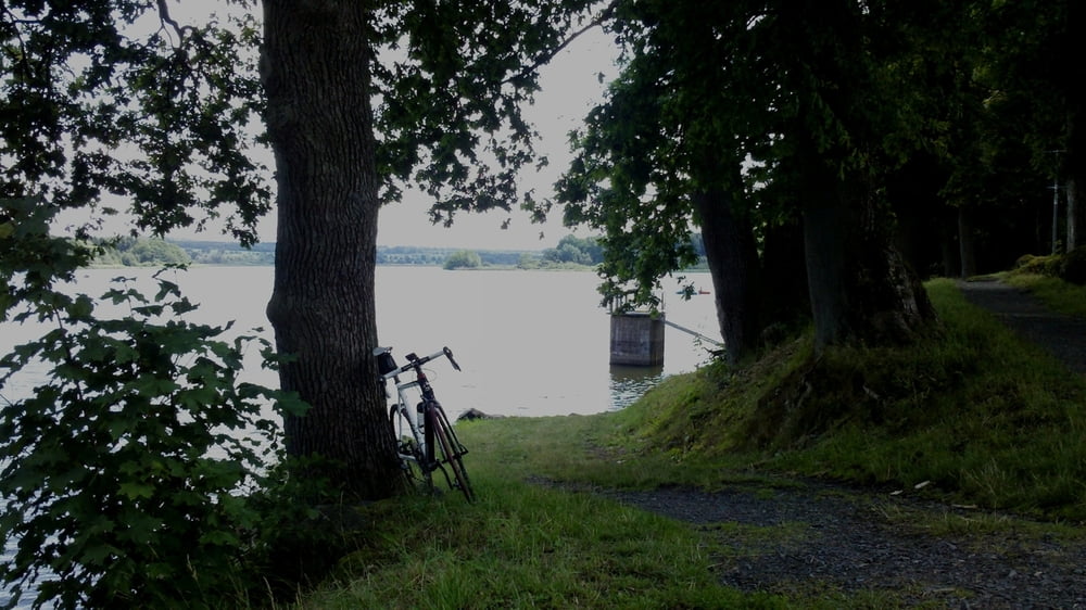
C Schluchten und knackige Serpentinenstrassen im Gebiet Nassau - das Gelbachtal
D Zuletzt die teils sehr pittoresken Örtchen - z.B. Balduinstein - an der Lahn / dahingleiten über die Lahntalstrasse
Also insgesamt sehr abwechslungsreich. In Summe ist doch etwas mehr Kondition notwendig, um die vielen Steigungen zu bewältigen.
galéria trás


Mapa trasy a výškový profil
Minimum height 95 m
Maximum height 580 m
More about the tour author
|
|
schreiwo |
komentáre

GPS trasy
Trackpoints-
GPX / Garmin Map Source (gpx) download
-
TCX / Garmin Training Center® (tcx) download
-
CRS / Garmin Training Center® (crs) download
-
Google Earth (kml) download
-
G7ToWin (g7t) download
-
TTQV (trk) download
-
Overlay (ovl) download
-
Fugawi (txt) download
-
Kompass (DAV) Track (tk) download
-
list trasy (pdf) download
-
Original file of the author (gpx) download
More about the tour author
|
|
schreiwo |
Add to my favorites
Remove from my favorites
Edit tags
Open track
My score
Rate