Login

Zabudli ste prihlasovacia meno

Cookies have to be accepted!
Your browser's cookie functionality is disabled. Please enable this functionality.

Not a member yet?

Register now
Login

Available for registred users only

Log in to use this feature.

Zabudli ste prihlasovacia meno

Cookies have to be accepted!
Your browser's cookie functionality is disabled. Please enable this functionality.

Not a member yet?

Register now
Filter
Kategórie
Advanced filters
  • Dĺžka (km)
  • výškomer
Uložiť filter Reset filter

TrackRank

QRCode

Technical data

Dĺžka9,4 km výškomer406 m Way down773 m Doba02:30 h:m dátum05.11.2015
ohodnotenia Author Kraj pôžitok z túry kondícia technika

štatistika

248 náhľady ohodnotenia 18 Stiahnutia priemer
Rate
  • list trasy
  • príjazd
  • Stiahnutia

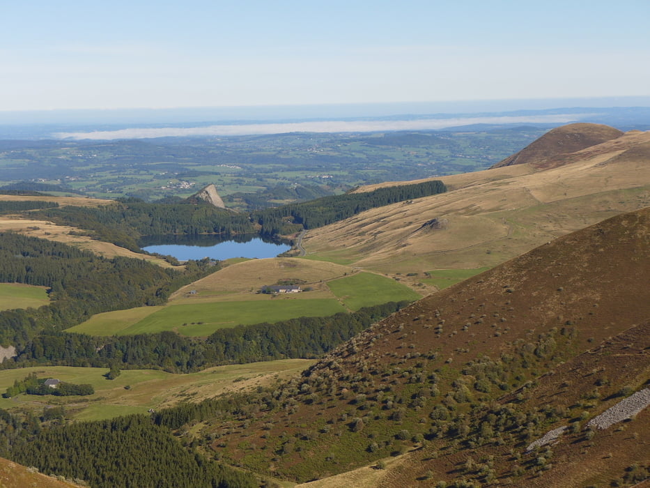
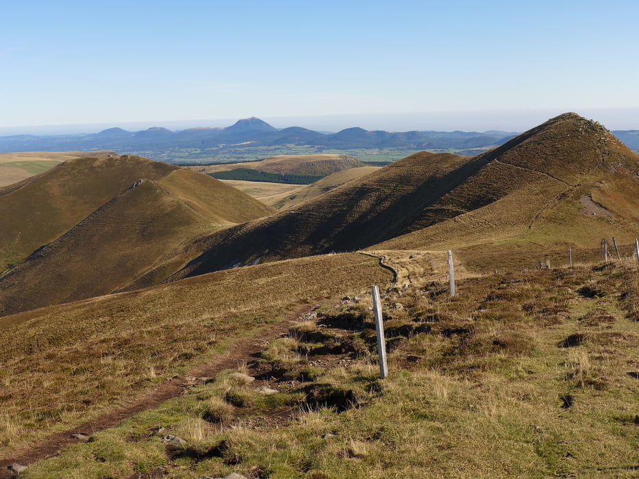
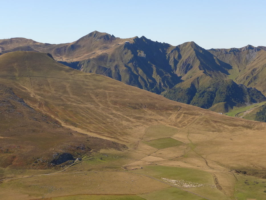
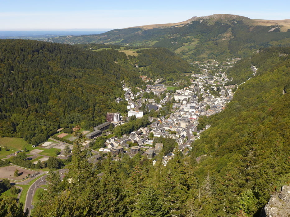
Wegverlauf: Col de la Croix Morand - Puy de la Tache - Puy de Barbier - Puy de l'Angle - La Grande Cascade - Mont=Dore

Von einem Aussichtsberg zum anderen: weite Rundumsicht. In der Nähe des Wasserfalls Tiefblick auf Mont-Dore


galéria trás

Mapa trasy a výškový profil

  • Open Street Map
  • Google
Minimum height 1037 m Maximum height 1739 m Detailný pohľad

More about the tour author

lothardomnik
Member since 2009

Send private message

komentáre

Mit Taxi von Mont-Dore bis Col de la Croix Morand


GPS trasy

Trackpoints
  • GPX / Garmin Map Source (gpx) download
  • TCX / Garmin Training Center® (tcx) download
  • CRS / Garmin Training Center® (crs) download
  • Google Earth (kml) download
  • G7ToWin (g7t) download
  • TTQV (trk) download
  • Overlay (ovl) download
  • Fugawi (txt) download
  • Kompass (DAV) Track (tk) download
  • list trasy (pdf) download
  • Original file of the author (gpx) download

More about the tour author

lothardomnik
Member since 2009

Send private message
Share track
Add to my favorites
Remove from my favorites
Edit tags
My score
Rate
trasa: Auvergne: Puy de l'Angle
Druh: trasa
Dĺžka: 9,4 km
Evaluated on:
Doba:
Day(s)
Hour(s)
Minute(s)
ohodnotenie: Kraj pôžitok z túry kondícia technika