

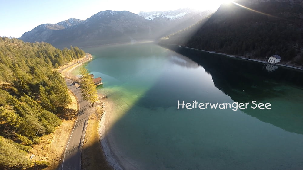
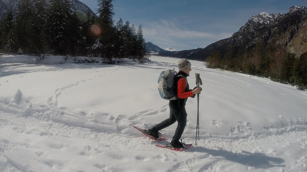
Der massive Bergstock am Heiterwanger See.
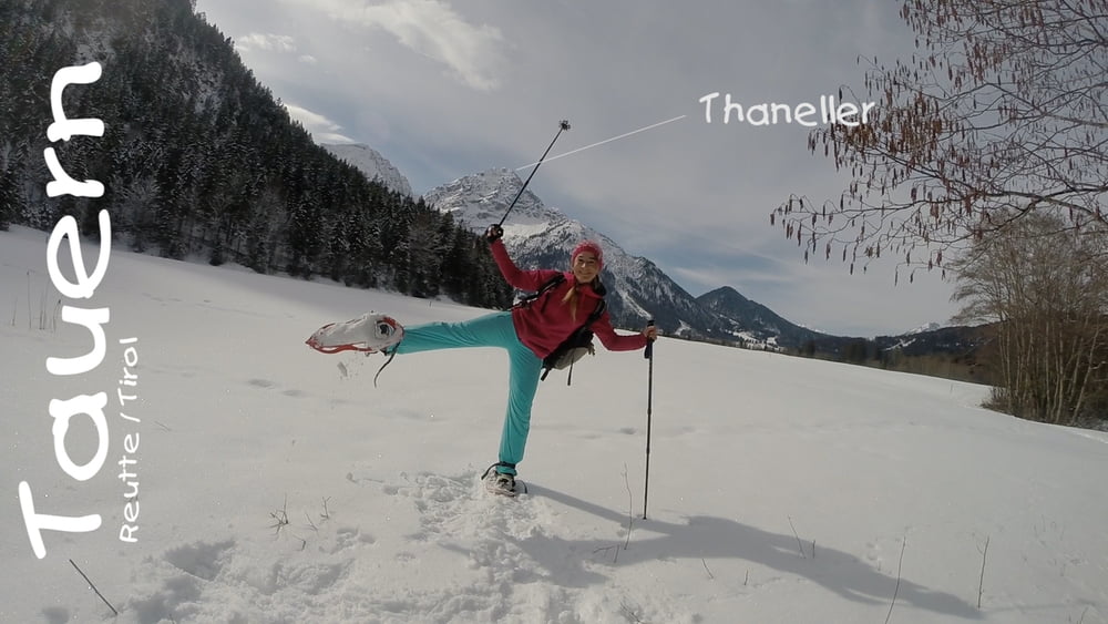
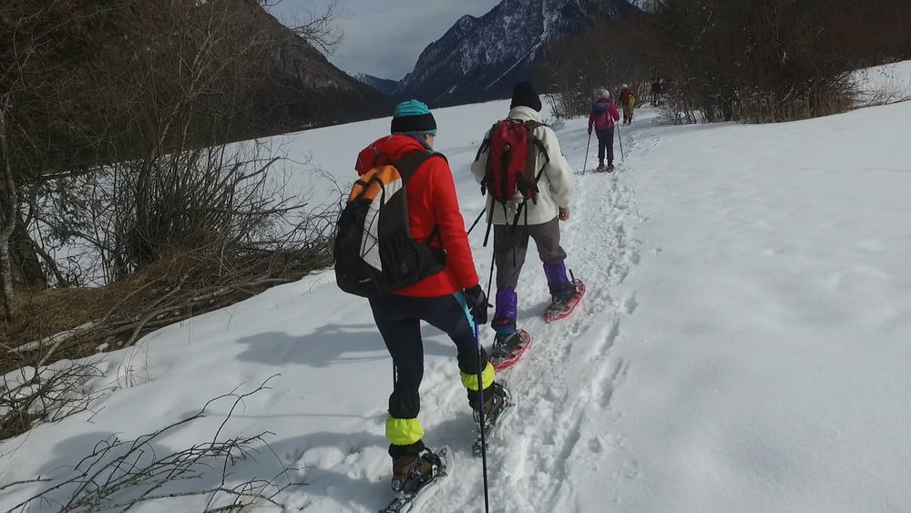
Diese enorm abwechslungsreiche Wanderung
bringt uns mit den unterschiedlichsten
Landschaftsformen in Kontakt: ein steiles
Bachtal mit Wasserfällen, stille Waldabschnitte
und eine Reihe von Seen. Besonders am
Heiterwanger See und am Plansee empfängt
den Winterwanderer eine wundersame Stille.
400 Hm
18 km
5,5 Std
Ausgangspunkt Breitenwang bei Reutte (Tirol)
Gerne liken/teilen/kommentieren.
[̲̅y̲̅][̲̅o̲̅][̲̅u̲̅] [̲̅l̲̅][̲̅i̲̅][̲̅k̲̅][̲̅e̲̅] [̲̅i̲̅][̲̅t̲̅]? [̲̅s̲̅][̲̅h̲̅][̲̅a̲̅][̲̅r̲̅][̲̅e̲̅] [̲̅i̲̅][̲̅t̲̅]!
HIer mein kleines Video dazu: https://youtu.be/soj7_trD-3c
#Berge #Alpen #Allgäu #Schneeschuh #Tauern #Reutte #Plansee #Heiterwangersee
Further information at
https://www.facebook.com/pages/Klettersteig24degaléria trás


Mapa trasy a výškový profil
Minimum height 886 m
Maximum height 1372 m
More about the tour author
|
|
ChristoHutschel |
komentáre

GPS trasy
Trackpoints-
GPX / Garmin Map Source (gpx) download
-
TCX / Garmin Training Center® (tcx) download
-
CRS / Garmin Training Center® (crs) download
-
Google Earth (kml) download
-
G7ToWin (g7t) download
-
TTQV (trk) download
-
Overlay (ovl) download
-
Fugawi (txt) download
-
Kompass (DAV) Track (tk) download
-
list trasy (pdf) download
-
Original file of the author (gpx) download
More about the tour author
|
|
ChristoHutschel |
Add to my favorites
Remove from my favorites
Edit tags
Open track
My score
Rate