


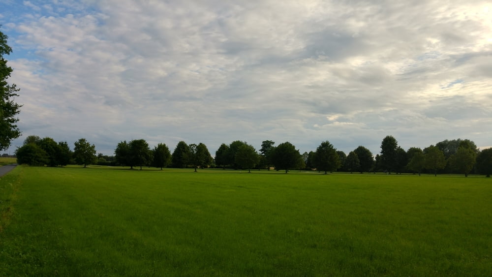
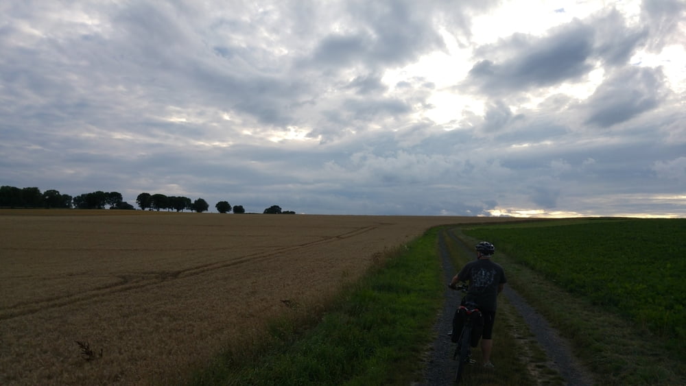
Interessant mal durch Siegburg zu fahren. Hierbei streifen wir nicht nur das Kloster sondern kommen vorher noch durch die Fußgängerzone, Chance auf McDoof, Café oder Restaurant. Nach Siegburg Bewältigung schicker Waldpfade und der einzige bedeutende Anstieg der Tour auf das Niveau der Wahnbachtalsperre. Über Golfplatz und Felder, rasante Abfahrt inklusive, bewegen wir uns über Rauschendorf und Holtorf wieder zurück nach Bonn.
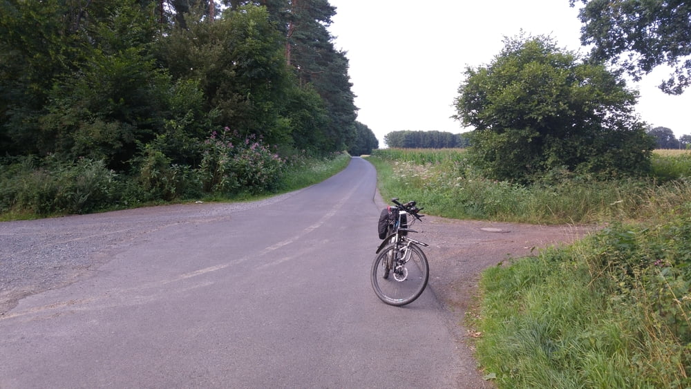
Rund um Bonn: Möchte jemand mitfahren ? E-MTB ausgewogen (kein Downhill, aber anstrengend darf es schon mal sein), immer den Spaß und die Natur im Vordergrund...eine Rast mit Kaltgetränk gehört auch dazu !
In der Woche bin ich mit einem Kollegen auf Tour, am We i.d.R. allein, da wäre ein/e Mitfahrer/in eine Bereicherung, denn geteilte Fahrfreude ist doppelte Freude !
Einfach Nachricht an mich in diesem Portal, ich freue mich !
galéria trás
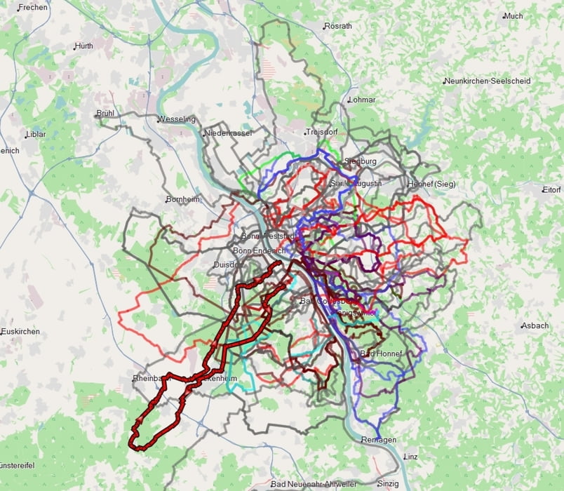
Mapa trasy a výškový profil
Minimum height 50 m
Maximum height 203 m
More about the tour author
|
|
dssoft |
komentáre

Parken am Friedhof Platanenweg, Rückweg über Ramersdorf wieder zurück...entweder durch die Stadt oder unten am Rhein lang.
GPS trasy
Trackpoints-
GPX / Garmin Map Source (gpx) download
-
TCX / Garmin Training Center® (tcx) download
-
CRS / Garmin Training Center® (crs) download
-
Google Earth (kml) download
-
G7ToWin (g7t) download
-
TTQV (trk) download
-
Overlay (ovl) download
-
Fugawi (txt) download
-
Kompass (DAV) Track (tk) download
-
list trasy (pdf) download
-
Original file of the author (gpx) download
More about the tour author
|
|
dssoft |
Add to my favorites
Remove from my favorites
Edit tags
Open track
My score
Rate