


- Start/Ziel: Meran, Thermenplatz.
- Schleife Taser-Ifingerhütte=im Uhrzeigersinn.
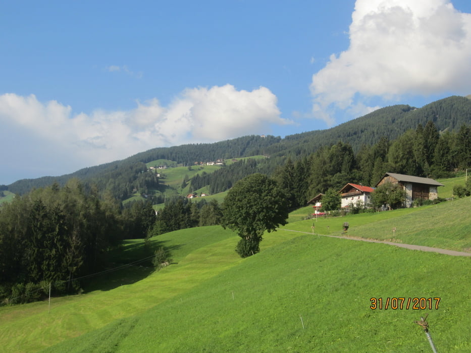
- Vom Thermenplatz KM 0 MH 270 auf gleichmässig ansteigenden, mittelsteilen(wenige kurze steile Abschnitte) asfaltierten Nebenstrassen durch Obermais, Schenna bis zum Gasthof"Taser" KM 13,2 MH 1439.
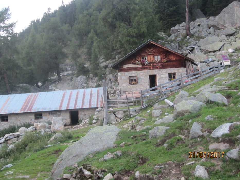
- Vom Taser auf losem, grobem, nicht angenehm zu befahrenden Schotterweg (mittelstei/mittelsteil+) bis zur Ifingerhütte KM 18,3 MH 1.806 (bewirtschaftet).
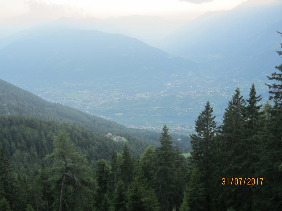
- Abfahrt auf Trail S2, kurze S3 Stellen, bis KM 19,4 MH 1.636 (zu bestimmten Zeiten stark von Fussgängern benutzt)!!!!! Rücksicht bitte!!!!!
- Weiter abwärts auf Schotter bis zum Gasthof "Taser". Ab Taser auf Asfalt zurück nach Meran zum Azusgangspunkt.
- PS. Der Trail kann auch ausgelassen werden und die Rückfahrt erfolgt auf dem Weg der Hinfahrt.
- Wasserstelle: Brunnen Taser-Kirchlein neben dem Gasthof "Taser"
galéria trás

Mapa trasy a výškový profil
Minimum height 270 m
Maximum height 1871 m
More about the tour author
|
|
MargesinFriedrich |
komentáre

GPS trasy
Trackpoints-
GPX / Garmin Map Source (gpx) download
-
TCX / Garmin Training Center® (tcx) download
-
CRS / Garmin Training Center® (crs) download
-
Google Earth (kml) download
-
G7ToWin (g7t) download
-
TTQV (trk) download
-
Overlay (ovl) download
-
Fugawi (txt) download
-
Kompass (DAV) Track (tk) download
-
list trasy (pdf) download
-
Original file of the author (gpx) download
More about the tour author
|
|
MargesinFriedrich |
Add to my favorites
Remove from my favorites
Edit tags
Open track
My score
Rate