Login

Zabudli ste prihlasovacia meno

Cookies have to be accepted!
Your browser's cookie functionality is disabled. Please enable this functionality.

Not a member yet?

Register now
Login

Available for registred users only

Log in to use this feature.

Zabudli ste prihlasovacia meno

Cookies have to be accepted!
Your browser's cookie functionality is disabled. Please enable this functionality.

Not a member yet?

Register now
Filter
Kategórie
Advanced filters
  • Dĺžka (km)
  • výškomer
Uložiť filter Reset filter

TrackRank

QRCode

Technical data

Dĺžka15,0 km výškomer2000 m Way down1441 m Doba00:00 h:m dátum03.12.2017
ohodnotenia Author Kraj pôžitok z túry kondícia technika

štatistika

371 náhľady ohodnotenia 7 Stiahnutia priemer
Rate
  • list trasy
  • príjazd
  • Stiahnutia
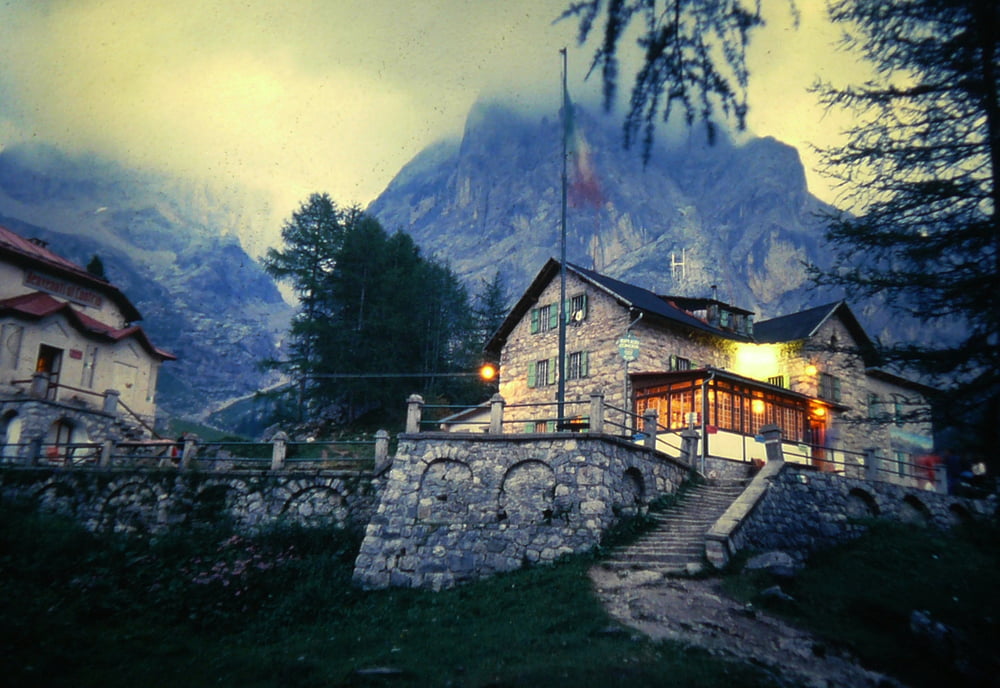
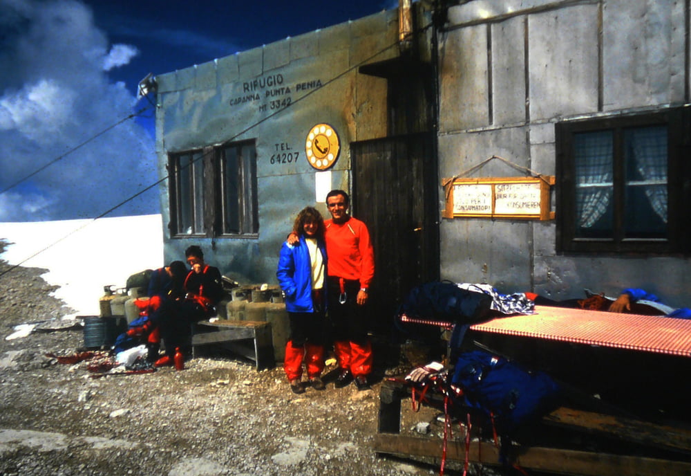
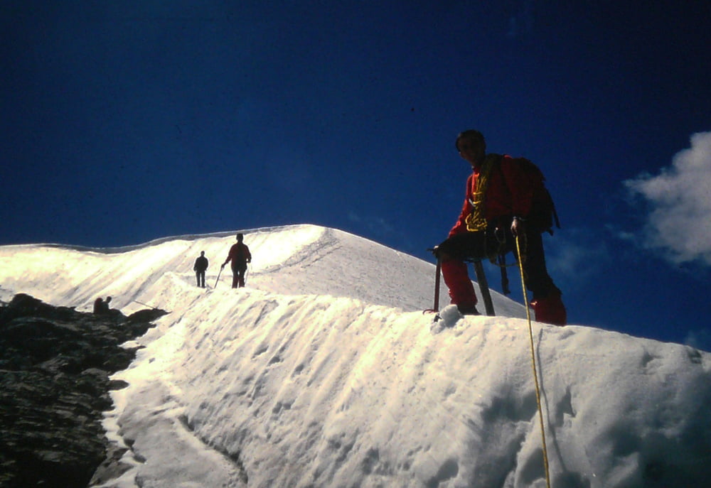
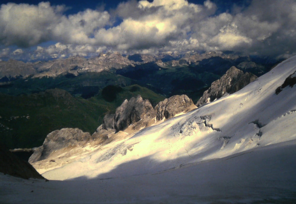
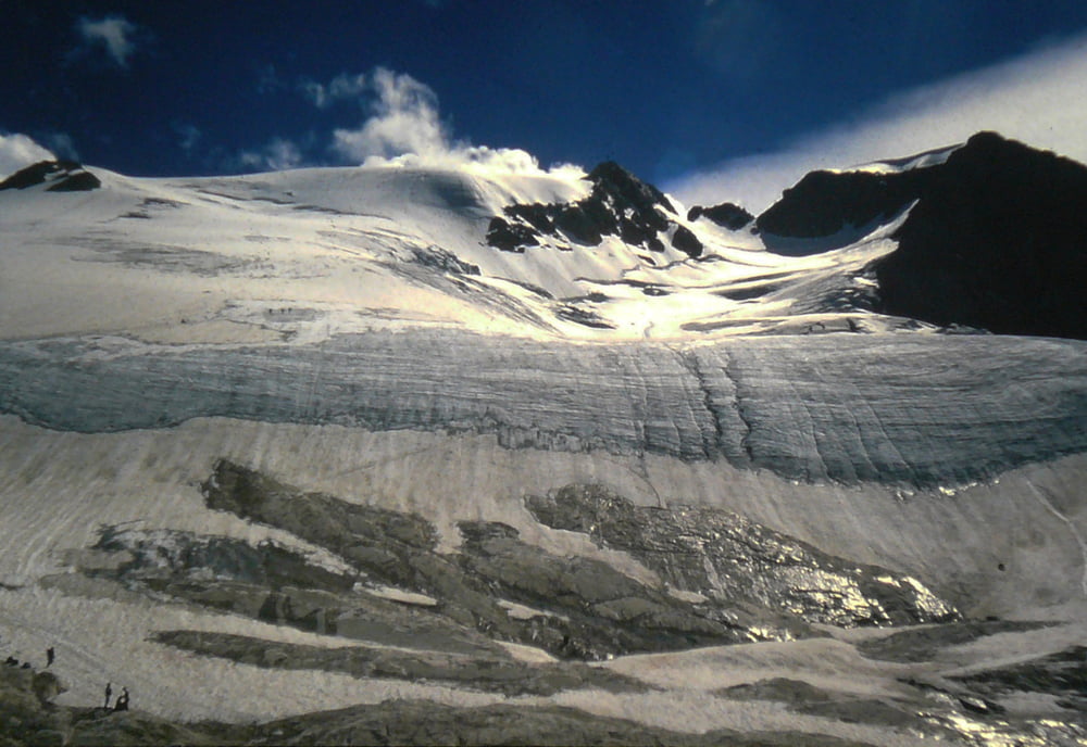
ferrrata in salita impegnativa e discesa per la schena de  mul  su ghiacciaio fatta nel 1985 in 2 gg

galéria trás

Mapa trasy a výškový profil

  • Open Street Map
  • Google
Minimum height 1494 m Maximum height 3299 m Detailný pohľad

More about the tour author

bettoliroberto
Member since 2010

Send private message

komentáre

GPS trasy

Trackpoints
  • GPX / Garmin Map Source (gpx) download
  • TCX / Garmin Training Center® (tcx) download
  • CRS / Garmin Training Center® (crs) download
  • Google Earth (kml) download
  • G7ToWin (g7t) download
  • TTQV (trk) download
  • Overlay (ovl) download
  • Fugawi (txt) download
  • Kompass (DAV) Track (tk) download
  • list trasy (pdf) download
  • Original file of the author (gpx) download

More about the tour author

bettoliroberto
Member since 2010

Send private message
Share track
Add to my favorites
Remove from my favorites
Edit tags
My score
Rate
trasa: Marmolada per via ferrata ovest e discesa per il ghiacciaio
Druh: sklon stúpania
Dĺžka: 15,0 km
Evaluated on:
Doba:
Day(s)
Hour(s)
Minute(s)
ohodnotenie: Kraj pôžitok z túry kondícia technika