Login

Zabudli ste prihlasovacia meno

Cookies have to be accepted!
Your browser's cookie functionality is disabled. Please enable this functionality.

Not a member yet?

Register now
Login

Available for registred users only

Log in to use this feature.

Zabudli ste prihlasovacia meno

Cookies have to be accepted!
Your browser's cookie functionality is disabled. Please enable this functionality.

Not a member yet?

Register now
Filter
Kategórie
Advanced filters
  • Dĺžka (km)
  • výškomer
Uložiť filter Reset filter

TrackRank

QRCode

Technical data

Dĺžka19,6 km výškomer267 m Way down272 m Doba06:06 h:m dátum19.10.2018
ohodnotenia Author Kraj pôžitok z túry kondícia technika

štatistika

554 náhľady ohodnotenia 20 Stiahnutia priemer
Rate
  • list trasy
  • príjazd
  • Stiahnutia
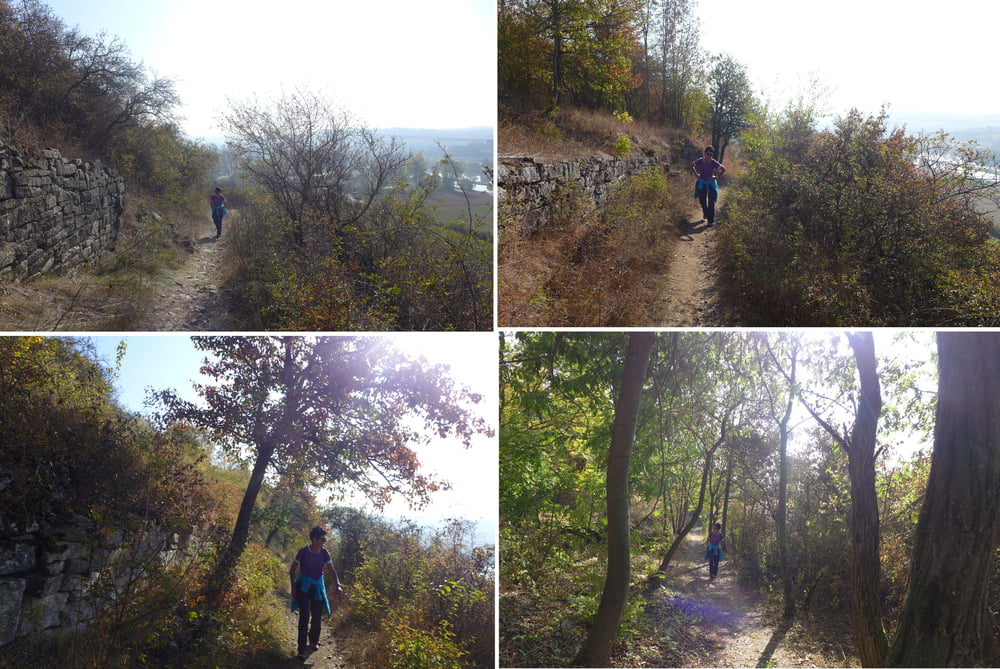
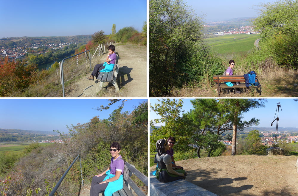
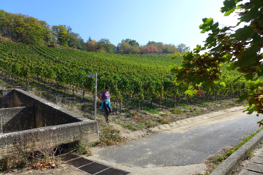
Wir starten am Goldgemäuer von Ochsenfurt als der Stadt der Türme in Mainfranken und erkunden die Hänge entlang des Mains gen Sommerhausen, einem netten kleinen Weindorf mit historischen Befestigungsanlagen. Es bieten sich des Öfteren ein phantastisches Panorama und genügend Gelegenheiten zum Verweilen.

Further information at

https://www.ochsenfurt.de/index.php?id=4

galéria trás

Mapa trasy a výškový profil

  • Open Street Map
  • Google
Minimum height 180 m Maximum height 288 m Detailný pohľad

More about the tour author

Saxoniaradler
Member since 2011

Send private message

komentáre

Ochsenfurt liegt im Freistaat Bayern und erreicht es von Sachsen aus über das Vogtland.

GPS trasy

Trackpoints
  • GPX / Garmin Map Source (gpx) download
  • TCX / Garmin Training Center® (tcx) download
  • CRS / Garmin Training Center® (crs) download
  • Google Earth (kml) download
  • G7ToWin (g7t) download
  • TTQV (trk) download
  • Overlay (ovl) download
  • Fugawi (txt) download
  • Kompass (DAV) Track (tk) download
  • list trasy (pdf) download
  • Original file of the author (gpx) download

More about the tour author

Saxoniaradler
Member since 2011

Send private message
Share track
Add to my favorites
Remove from my favorites
Edit tags
My score
Rate
trasa: Panoramawanderung zwischen Ochsenfurt und Sommerhausen
Druh: trasa
Dĺžka: 19,6 km
Evaluated on:
Doba:
Day(s)
Hour(s)
Minute(s)
ohodnotenie: Kraj pôžitok z túry kondícia technika