


- Rundkurs im Uhrzeigersinn.
- Start/Ziel: Finale Ligure
- Ca. 1,5 KM. einrollen auf Asphalt
- Weiter auf Nebenstrasse, Asphalt, mittelsteil bis KM. 2,6
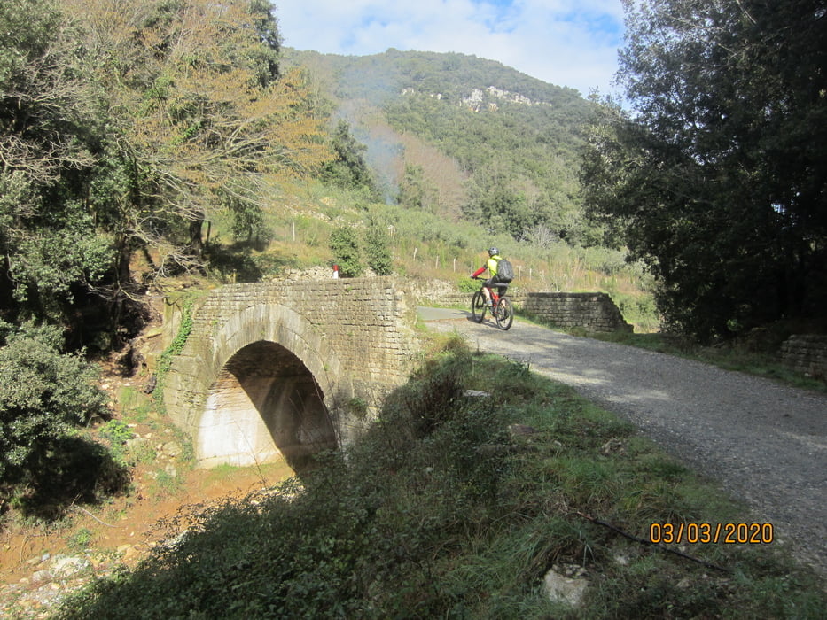
- Schotterstrasse, angenehm ansteigend bis KM.6,3 - MH.267
- Weiter auf Karrenweg/Steig bis Osteria "La Grotta"(Donnerstag Ruhetag) KM.8,9 - MH.315
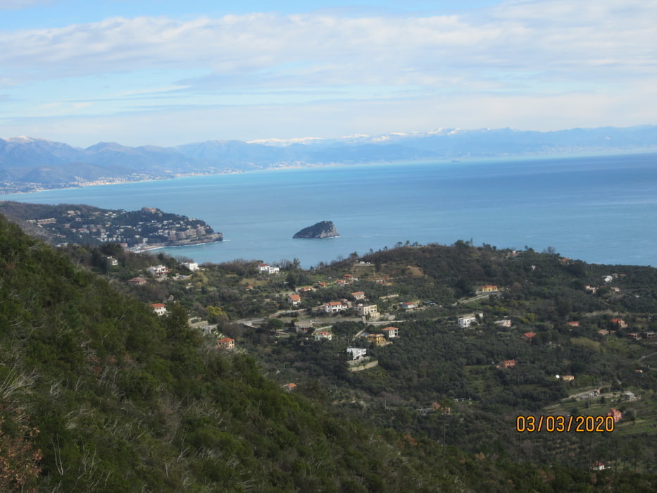
- Aussichtspunkt auf Noli, Spotorno, Savona KM. 10,8 - MH 299.
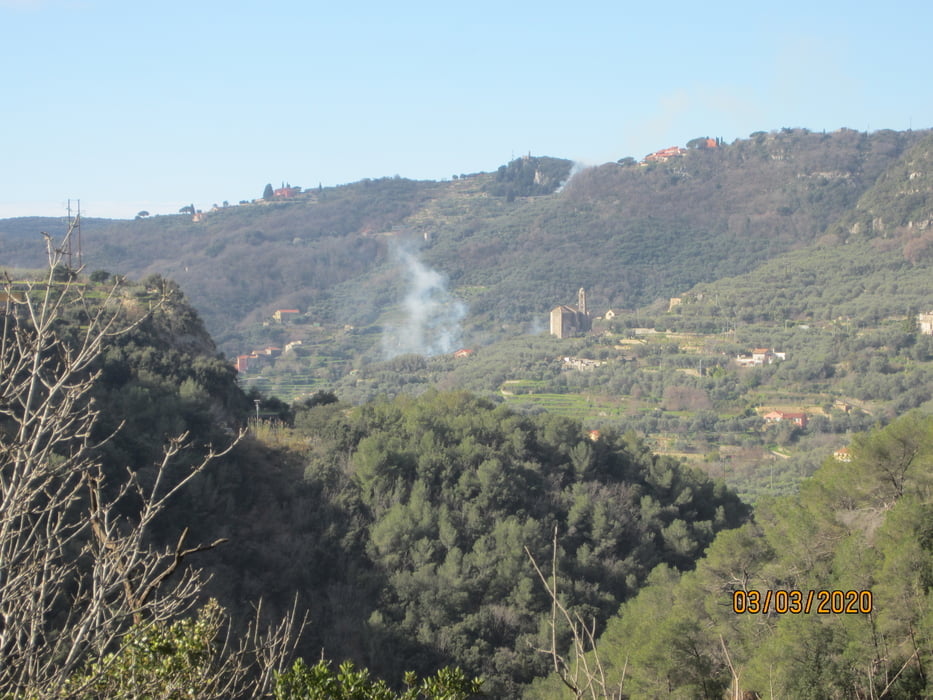
- Ab KM. 12,4 - MH. 271 Beginn Downhill. Am Anfang flowiger Steig.
- Bis zum Ende der Abfahrt geht es an vielen Stellen recht ruppig zur Sache(S3-S4).
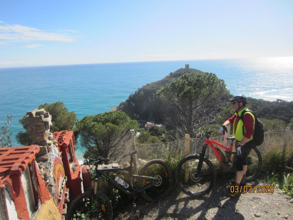
- Im Örtchen Varigotti angekommen lohnt es sich durch die Gassen zu spazieren (Rad muss geschoben werden).
- Ich als Tourenfahrer mit mittelgradiger Abfahrtstechnik habe ziemlich viel geschoben.
- Die Tour habe ich von der Home Page des örtlichen Tourismusbüros heruntergeladen. Dort war sie mit "Easy - S1" bewertet.(Klare Fehleinschätzung).
- Rückfahrt zum Ausgangspunkt auf der Staatsstrasse. Ohne Fahrradspur.
- 2 Galerien. Beleuchtung nützlich.
galéria trás

Mapa trasy a výškový profil
Minimum height -4 m
Maximum height 371 m
More about the tour author
|
|
MargesinFriedrich |
komentáre

GPS trasy
Trackpoints-
GPX / Garmin Map Source (gpx) download
-
TCX / Garmin Training Center® (tcx) download
-
CRS / Garmin Training Center® (crs) download
-
Google Earth (kml) download
-
G7ToWin (g7t) download
-
TTQV (trk) download
-
Overlay (ovl) download
-
Fugawi (txt) download
-
Kompass (DAV) Track (tk) download
-
list trasy (pdf) download
-
Original file of the author (gpx) download
More about the tour author
|
|
MargesinFriedrich |
Add to my favorites
Remove from my favorites
Edit tags
Open track
My score
Rate