

- Rundkurs gegen den Uhrzeigersinn.
- Start/Ziel: Tscherms.(MH 290)
- Einfahren auf Asfalt bis KM 2,7-MH 295).
- Ca. 1 KM sehr steil bergauf. Weiter auf Asfalt durch das Höllental, angenehm antsteigend bis KM 10,2-MH 1.130).
- Weiter auf Schotterweg. Zwischenstück ca. 20 Meter abwärts schieben bis zur Teerstrasse, ohne Verkehr (KM 12,80 - MH 1.170.
- Weiter auf Teer/Schotter bis zum Völlanerjoch (KM 16,5 - MH 1.5). Höchster Punkt der Tour.
- Talwärs auf teils sehr steilm Schotterweg mit schwer zu befahrenden Untergrund bis Platzers. Der kurze Abstecher zum Gasthof "Natz"(KM 18,8-MH 1.280) lohnt sich allemal.
- Zurück auf Asfalt bis zur Einfahrt ind den Forstweg talwärts zum Gasthof "Völlaner Bad" (KM 25-MH 834).
- Weiter auf Schotter bis Völlan. Von dort auf dem Kastanienweg, einem Karrenweg und Asfalt nach Lana und zurück zum Ausgangspunkt.
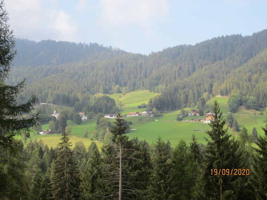
Diese Tour bietet keinen besonderen Ausblick, ist aber durch ihren Verlauf durch den Wald auch für den Hochsommer geeignet.
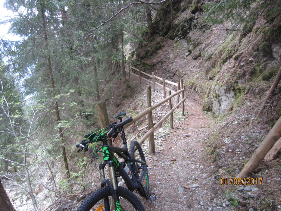
PS. Habe in die Tour keine Trails eingebaut, da die Wege sehr ausgewaschen waren.
galéria trás

Mapa trasy a výškový profil
Minimum height 295 m
Maximum height 1569 m
More about the tour author
|
|
MargesinFriedrich |
komentáre

GPS trasy
Trackpoints-
GPX / Garmin Map Source (gpx) download
-
TCX / Garmin Training Center® (tcx) download
-
CRS / Garmin Training Center® (crs) download
-
Google Earth (kml) download
-
G7ToWin (g7t) download
-
TTQV (trk) download
-
Overlay (ovl) download
-
Fugawi (txt) download
-
Kompass (DAV) Track (tk) download
-
list trasy (pdf) download
-
Original file of the author (gpx) download
More about the tour author
|
|
MargesinFriedrich |
Add to my favorites
Remove from my favorites
Edit tags
Open track
My score
Rate