


- Start/Ziel: Prad
- Runkurs gegen den Uhrzeigersinn.
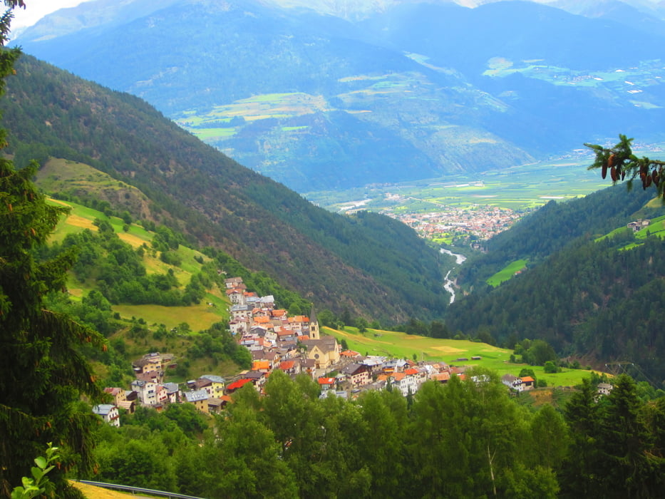
- Auf asfaltierten Nebenwegenn nach Lichtenberg.
- Weiter auf Asfalt/Schotter, gleichmässig, angenehm ansteigend bis zur Schartalm KM 11,3 - MH 1.820-
- Abfahrt auf Schotter bis oberhalb von Stilfs KM 15,9 - MH 1.485.
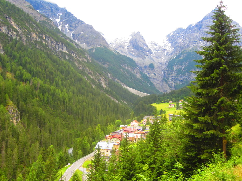
- Nun folgt der zweite Aufstieg zur Furkelhütte(Gasthof) KM 24,1 - MH 2.158. Zu beginn auf Asfalt. Der Rest auf perfektem, angenehm ansteigendem Schotterweg.
- Ab Furkelhütte Abfahrt auf teilweise steilem, grobschottrigem Forstweg hinunter nach Trafoi KM 27,9 - MH 1.570.
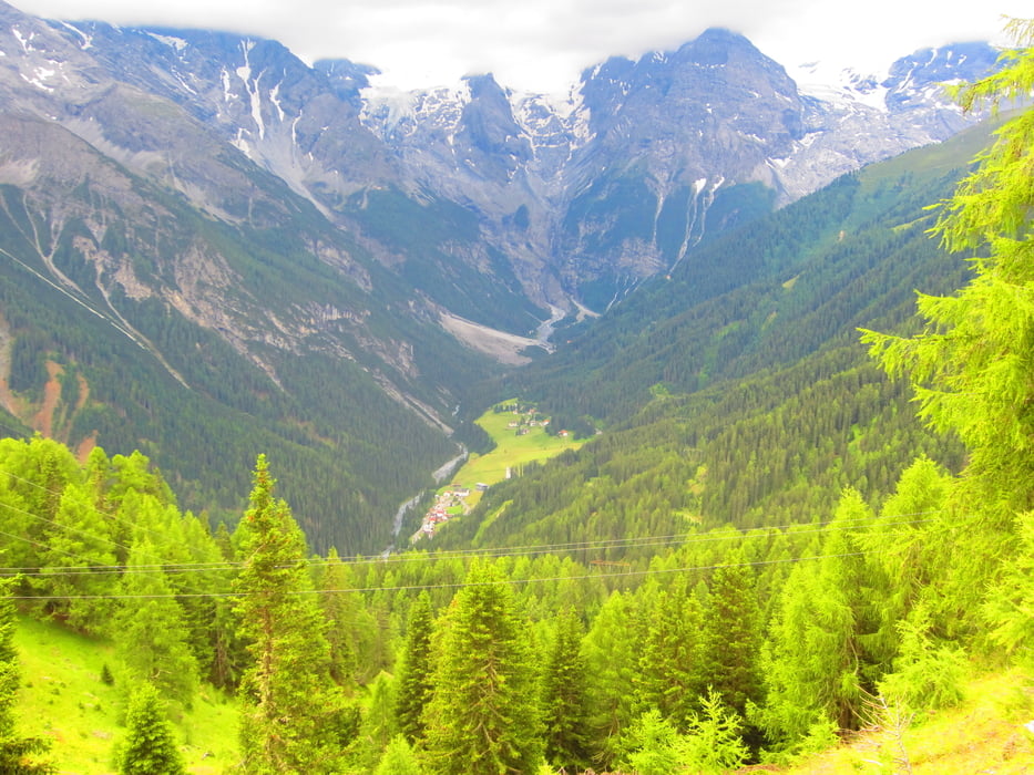
- Der Abschnitt Trafoi-Prad KM 38,6 - MH 920 auf der Stilfserjocher-Landstrasse.
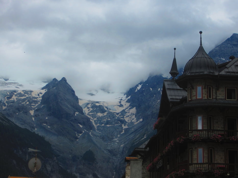
- PS. Herrlicher Blick auf das Ortler Massiv.
galéria trás

Mapa trasy a výškový profil
Minimum height 852 m
Maximum height 2163 m
More about the tour author
|
|
MargesinFriedrich |
komentáre

GPS trasy
Trackpoints-
GPX / Garmin Map Source (gpx) download
-
TCX / Garmin Training Center® (tcx) download
-
CRS / Garmin Training Center® (crs) download
-
Google Earth (kml) download
-
G7ToWin (g7t) download
-
TTQV (trk) download
-
Overlay (ovl) download
-
Fugawi (txt) download
-
Kompass (DAV) Track (tk) download
-
list trasy (pdf) download
-
Original file of the author (gpx) download
More about the tour author
|
|
MargesinFriedrich |
Add to my favorites
Remove from my favorites
Edit tags
Open track
My score
Rate