

- Rundkurs im Uhrzeigersinn.
- Start/Ziel: Tscherms.
- Einrollen auf asfaltierten Nebenstrassen bis Niederlana.
- Einstieg Moosweg KM 7,6 - MH 229. Steile Abschnitte, grobschottrig, teils lose Steinbrocken.
- Ende Moosweg KM 10,9 - MH 556.
- Weiter nach Tisens. Abzweigung zum Mühlenweg KM 12,1 - MH 619.
- Die teilweise steilen, grobschottrigen Abschnitte des Mühlenwegs erfordern Kraft und Kondition.
- Ab Ende des Mühlenwegs KM 18 - MH 1.1160 weiter auf Asfalt, bzw. der Gampenstrasse bis zum Beginn des Forstweges KM 19,7 - MH 1.284.
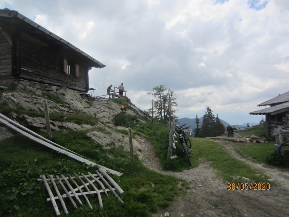
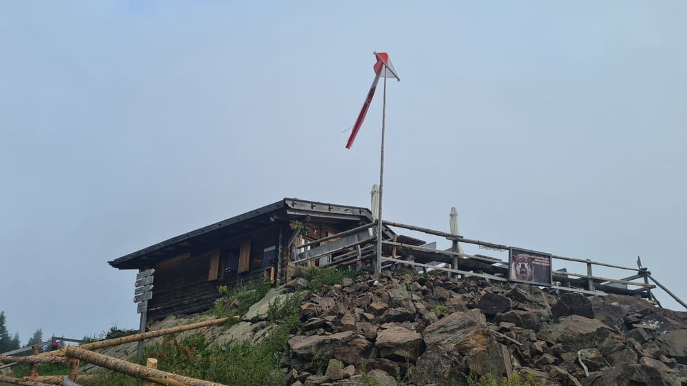
- Auf dem durchwegs steilen, aber gut präparierten Schotterweg bis zur Gfrillner Alm KM 24,9 - MH 1.817.
- Abfahrt auf Karrenwegen, Waldwegen, Steigen und asfaltierten Waldwegen ins Tas nach Lana KM 41 - MH 310.
- Auf dem Radweg zurück zum Ausgangspunkt nach Tscherms.
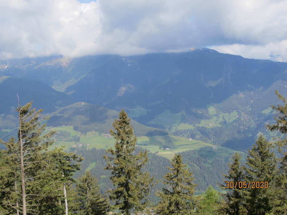
- Der Grossteil der Abfahrt erfolgt am Südhang des Ultentals und ermöglicht uns somit schöne Einblicke auf das gesamte Tal.
- PS. Die Steig-Passagen sind teilweise mit Wurzeln bedeckt, stellenweise ausgesetzt und erfordern somit eine gute Beherrschung des Biks. Im Zweifelsfall ca. 200 MT. schieben.
galéria trás
Mapa trasy a výškový profil
Minimum height 215 m
Maximum height 1836 m
More about the tour author
|
|
MargesinFriedrich |
komentáre

GPS trasy
Trackpoints-
GPX / Garmin Map Source (gpx) download
-
TCX / Garmin Training Center® (tcx) download
-
CRS / Garmin Training Center® (crs) download
-
Google Earth (kml) download
-
G7ToWin (g7t) download
-
TTQV (trk) download
-
Overlay (ovl) download
-
Fugawi (txt) download
-
Kompass (DAV) Track (tk) download
-
list trasy (pdf) download
-
Original file of the author (gpx) download
More about the tour author
|
|
MargesinFriedrich |
Add to my favorites
Remove from my favorites
Edit tags
Open track
My score
Rate