

- Rundkurs im Uhrzeigersinn.
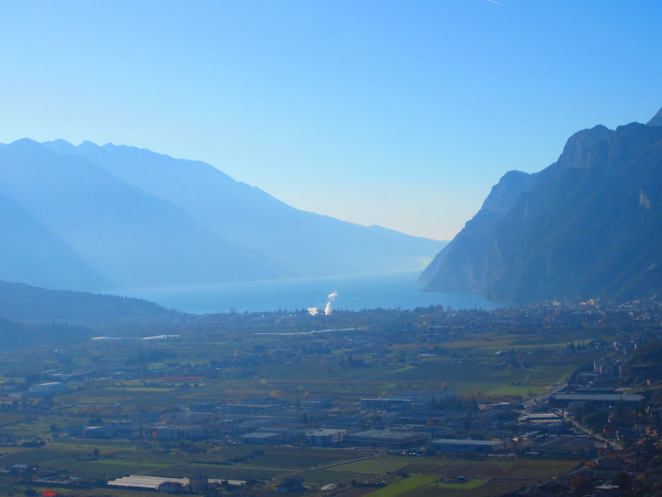
- Start/Ziel: Arco.
- Einrollen auf Nebenstrassen bis Varignano KM 4,4 - MH 13.
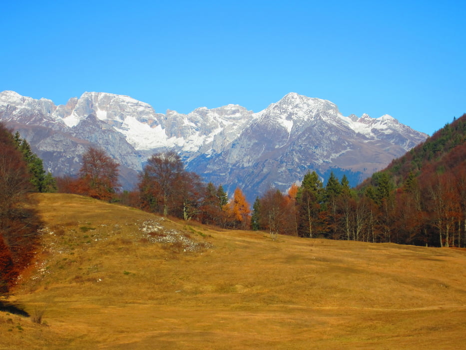
- Anstieg auf Asfalt mittelsteil/mittelsteil+, (kein Verkehr) bis San Giovanni al Monte KM 15,7 - MH 1050.
- In San Giovanni al Monte: Trattoria + Brunnen.
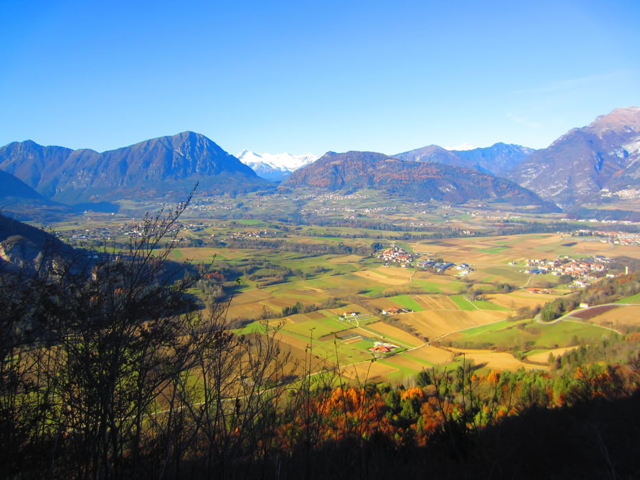
- Abfahrt auf Forstweg, einige steile Abschnitte (Betonrampen) bis Vigo Lomaso KM 22 - MH 498.
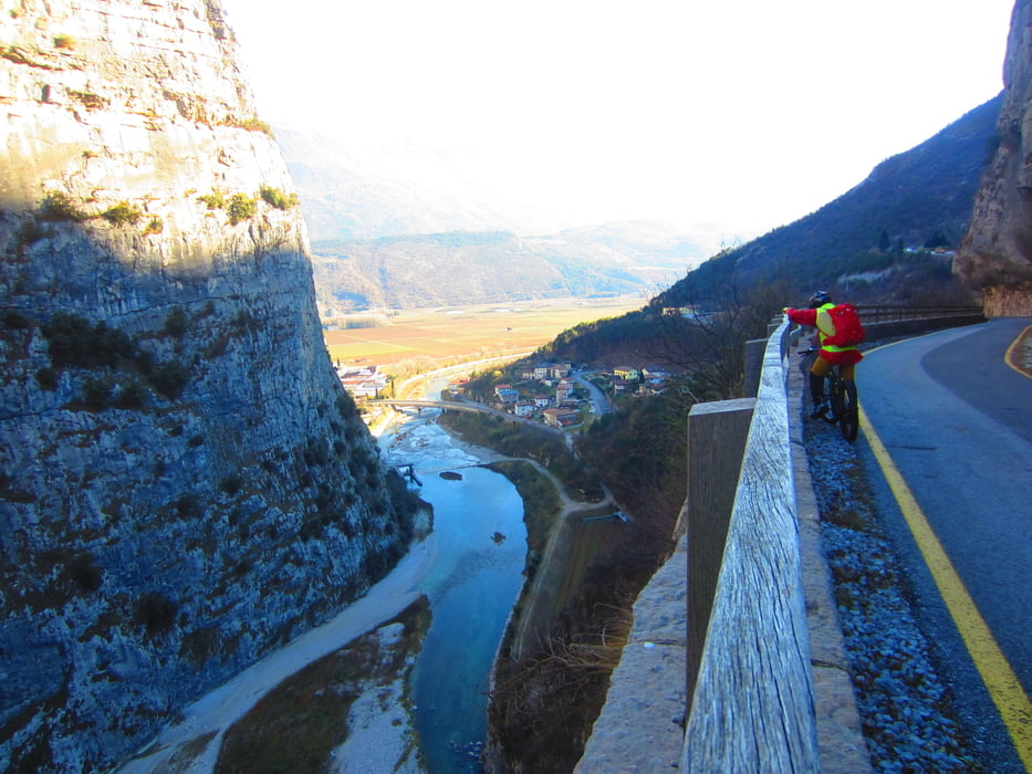
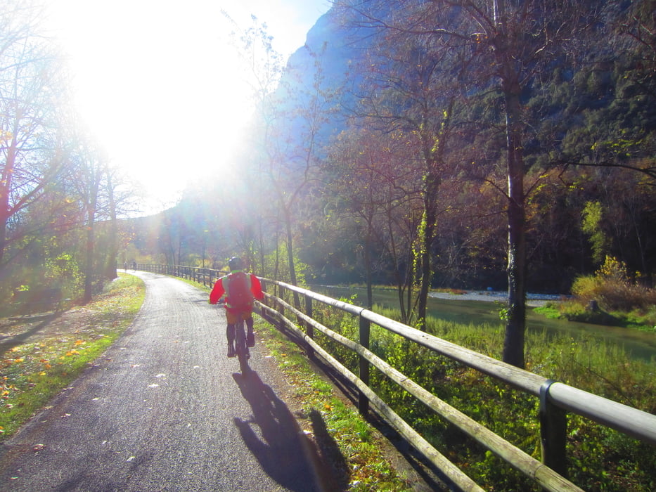
- Weiter auf Nebenwegen, bzw. dem Radweg durch die Sarche Schlucht bis Sarche KM 34,7 - MH 250.
- Weiter auf dem Sarche-Radweg bis zur Motocross-Bahn nach Pietramurata KM 39 - MH 243.
- Den Rest der Strecke bis Arco abwechselnd auf und ab auf Schotter(kurze Abschnitte grobschottrig/alfaltiert) durch den Wald, bzw. durch malerische Olivenhaine.
- Am Beginn des Radweges durch die Sarche-Schlucht 1,5 KM auf der Hauptstrasse. Am Ende des Radweges 4 Kehren auf der Hauptstrasse.
- Wir sind die Tour mit dem E-MTB gefahren.
galéria trás
Mapa trasy a výškový profil
Minimum height -56 m
Maximum height 1112 m
More about the tour author
|
|
MargesinFriedrich |
komentáre
GPS trasy
Trackpoints-
GPX / Garmin Map Source (gpx) download
-
TCX / Garmin Training Center® (tcx) download
-
CRS / Garmin Training Center® (crs) download
-
Google Earth (kml) download
-
G7ToWin (g7t) download
-
TTQV (trk) download
-
Overlay (ovl) download
-
Fugawi (txt) download
-
Kompass (DAV) Track (tk) download
-
list trasy (pdf) download
-
Original file of the author (gpx) download
More about the tour author
|
|
MargesinFriedrich |
Add to my favorites
Remove from my favorites
Edit tags
Open track
My score
Rate
Nuovo giro