


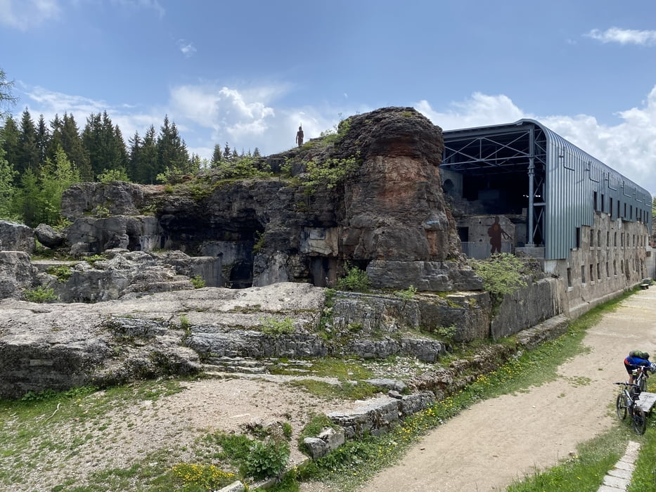
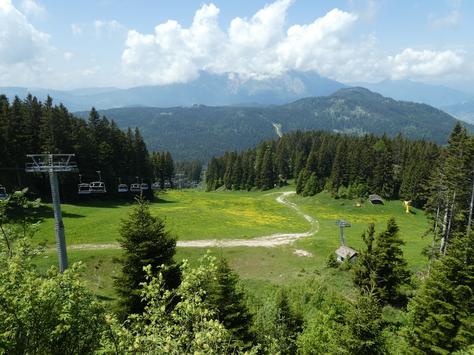
Abfahrt in der Nähe vom Lago di Lavarone auf Asphalt Sp 349 bis Luserna. Am Ende des Ortes geht links eine steile Asphaltrampe hinauf. Diese geht in eine Forst- bzw. Schotterstraße über bis hin zum Ex Forte Luserna auf ca. 1.500m. Abfahrt zum Malga Milegrobe di Sopra, über das Plateau Costalta und auf der Piste eines Skigebietes runter bis zum Malga Rivetta 1.350m. Auf Asphalt retour zum Lago.
galéria trás
Mapa trasy a výškový profil
Minimum height 1033 m
Maximum height 1545 m
More about the tour author
|
|
Astrid_Steindl04 |
komentáre

Bei Trento von der Autobahn und östliche in die Berge nach Lavarone.
GPS trasy
Trackpoints-
GPX / Garmin Map Source (gpx) download
-
TCX / Garmin Training Center® (tcx) download
-
CRS / Garmin Training Center® (crs) download
-
Google Earth (kml) download
-
G7ToWin (g7t) download
-
TTQV (trk) download
-
Overlay (ovl) download
-
Fugawi (txt) download
-
Kompass (DAV) Track (tk) download
-
list trasy (pdf) download
-
Original file of the author (gpx) download
More about the tour author
|
|
Astrid_Steindl04 |
Add to my favorites
Remove from my favorites
Edit tags
Open track
My score
Rate