

- Rundkurs im Uhrzeigersinn.
- Start/Ziel: Tscherms.
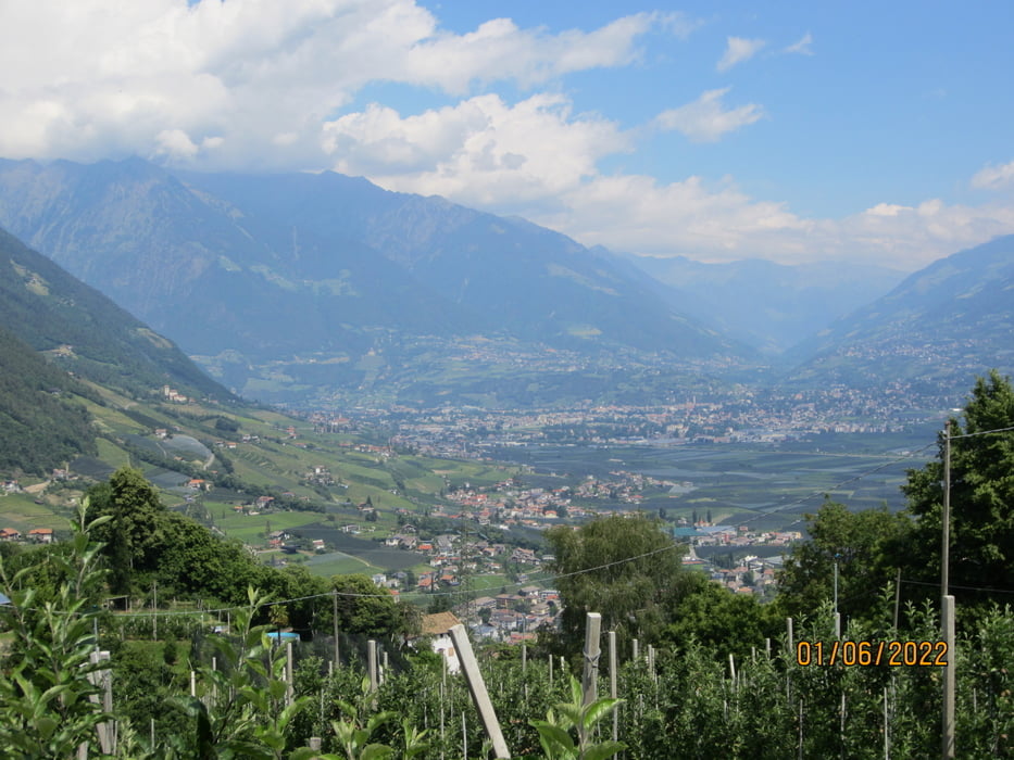
- Einrollen auf Nebenbstrassen/Wiesenwegen nach Nals KM 12,6 - MH 417.
- Auf kaum befahrener Asfaltstrasse, angenehm ansteigend richtung Sirmian bis KM 15,7 - MH 700.
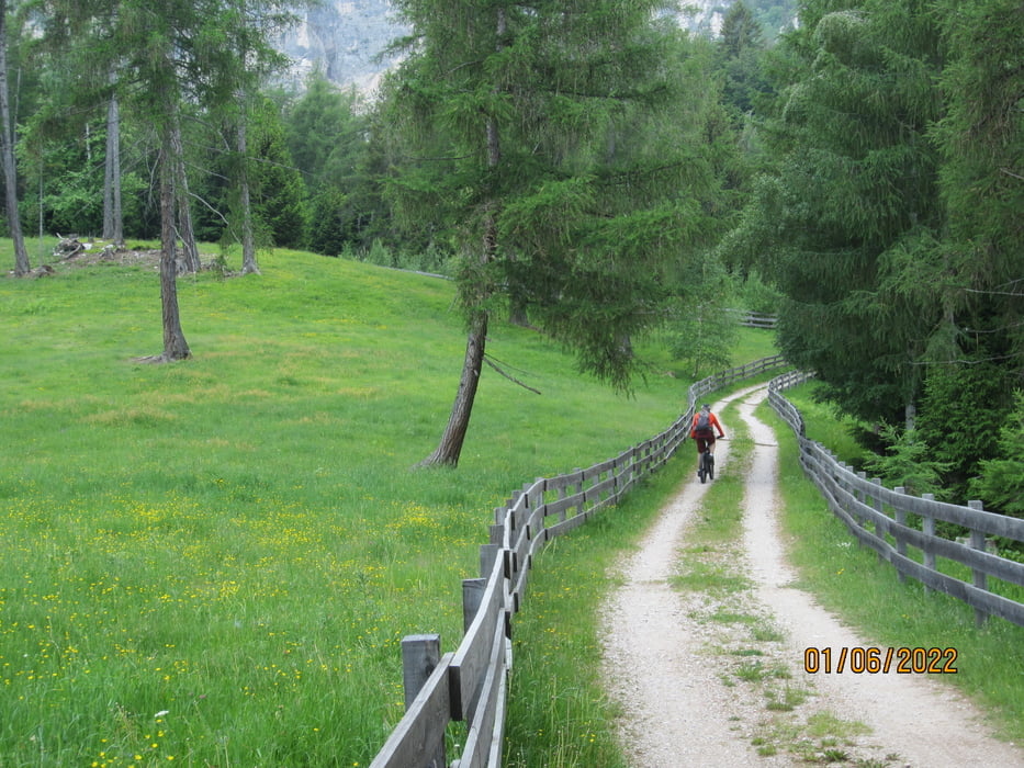
- Weiter auf mittelsteiler Forstrstrasse durch schattigen Mischwald. Einige steile, grobschottrige Abschnitte bis KM 18,9 - MH 1.087.
- Ab Gaid weiter auf gleichmässig ansteigendem Forstweg. In sanftem Auf und Ab richtung Norden bis KM 25,8 - MH 1.170. (Kurze steile, steinige Anstiege).
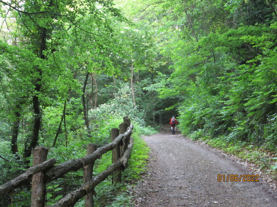
- Flowige Abfahrt auf Forststrasse bis Grissian KM 30,7 - MH 926.
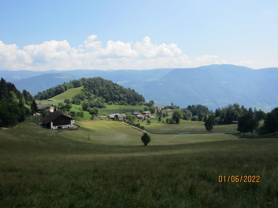
- Weiter auf Nebenstrassen talwärts bis Prissian, Tisens.
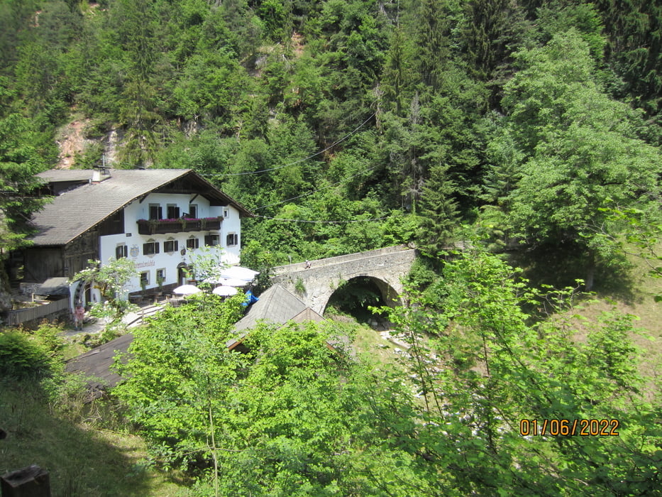
- Am Hyppolit Weiher vorbei, über die Brücke aus der Römerzeit und am Gasthaus "Obere Talmühle" KM 38 - MH 780 vorbei, nach Völlan.
- Weiter auf dem Kastanien-Erlebnisweg. Abfahrt auf Asfalt hinunter ins Etschtal nach Lana, Tscherms.
galéria trás

Mapa trasy a výškový profil
Minimum height 366 m
Maximum height 1361 m
More about the tour author
|
|
MargesinFriedrich |
komentáre

GPS trasy
Trackpoints-
GPX / Garmin Map Source (gpx) download
-
TCX / Garmin Training Center® (tcx) download
-
CRS / Garmin Training Center® (crs) download
-
Google Earth (kml) download
-
G7ToWin (g7t) download
-
TTQV (trk) download
-
Overlay (ovl) download
-
Fugawi (txt) download
-
Kompass (DAV) Track (tk) download
-
list trasy (pdf) download
-
Original file of the author (gpx) download
More about the tour author
|
|
MargesinFriedrich |
Add to my favorites
Remove from my favorites
Edit tags
Open track
My score
Rate