


- Rundkurs im Uhrzeigersinn.
- Start/Ziel: Mals.
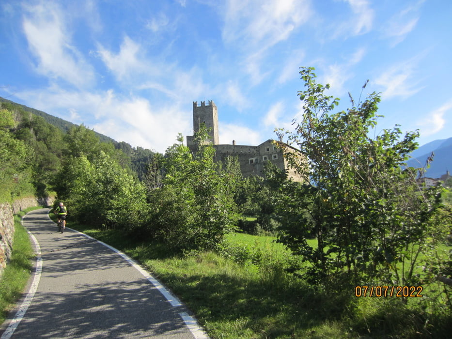
- Auf dem Claudia Augusta Radweg (angenehm ansteigend/mittelsteil, kurze steilere Abschnitte) über Burgeis, am Heidersee vorbei bis zur Staumauer des Reschensees.
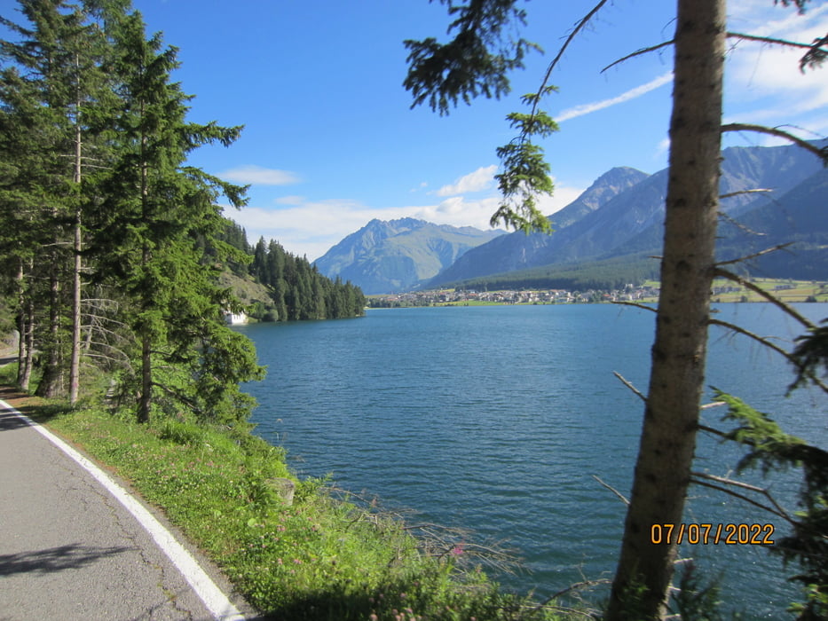
- Weiter auf schottriger Forststrasse, durchwegs gleichmässiger, angenehmer Anstieg, bis zur bewirtschafteten Reschneralm. Eindrucksvoller Ausblick auf den Reschensee.
- Talwärts bis Reschen, ebenfalls auf angenehm abfallender Forststrasse.
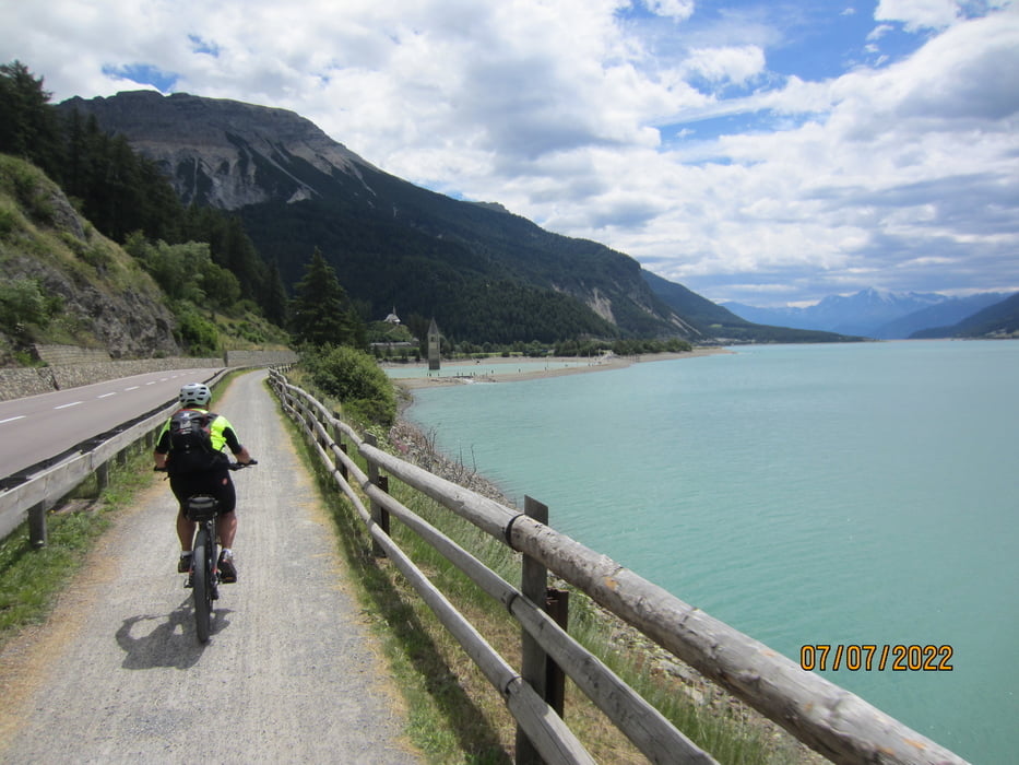
- Vom Dorf Reschen auf dem Seeufer-Radweg bis zur Staumauer des gleichnamigen Sees und auf dem Radweg zurück nach Mals.
galéria trás

Mapa trasy a výškový profil
Minimum height 1029 m
Maximum height 2049 m
More about the tour author
|
|
MargesinFriedrich |
komentáre

GPS trasy
Trackpoints-
GPX / Garmin Map Source (gpx) download
-
TCX / Garmin Training Center® (tcx) download
-
CRS / Garmin Training Center® (crs) download
-
Google Earth (kml) download
-
G7ToWin (g7t) download
-
TTQV (trk) download
-
Overlay (ovl) download
-
Fugawi (txt) download
-
Kompass (DAV) Track (tk) download
-
list trasy (pdf) download
-
Original file of the author (gpx) download
More about the tour author
|
|
MargesinFriedrich |
Add to my favorites
Remove from my favorites
Edit tags
Open track
My score
Rate