
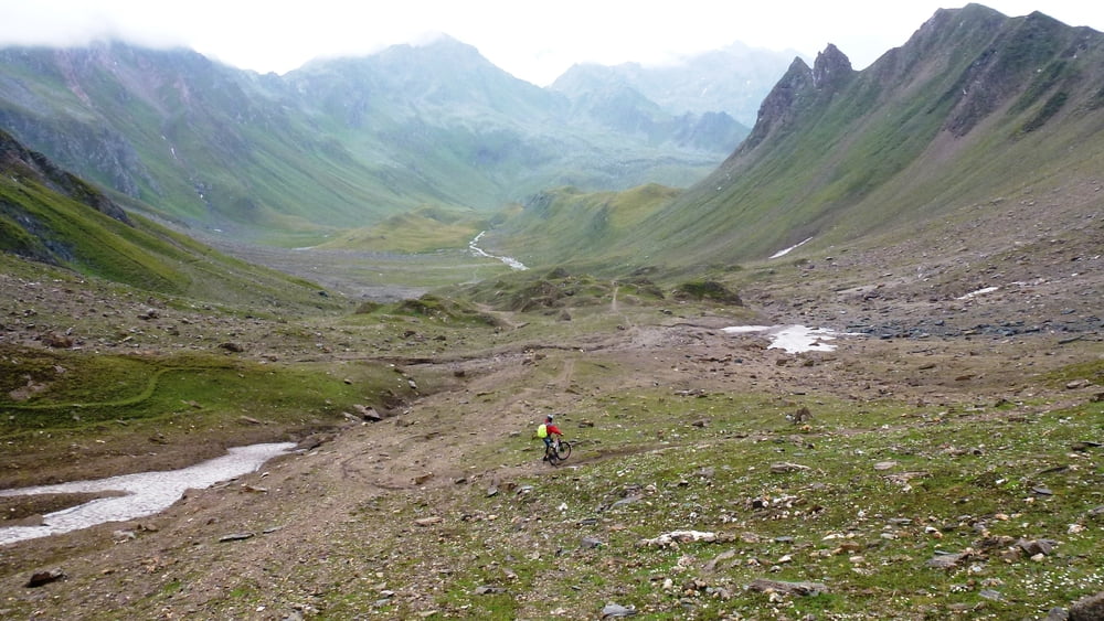

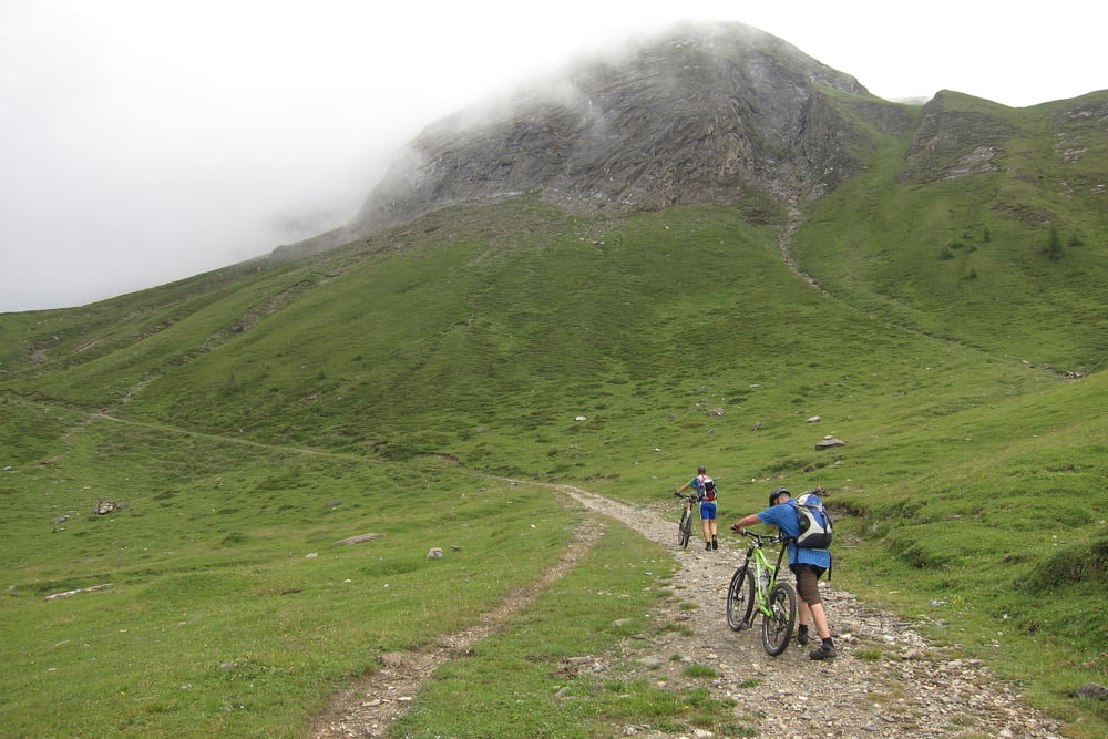
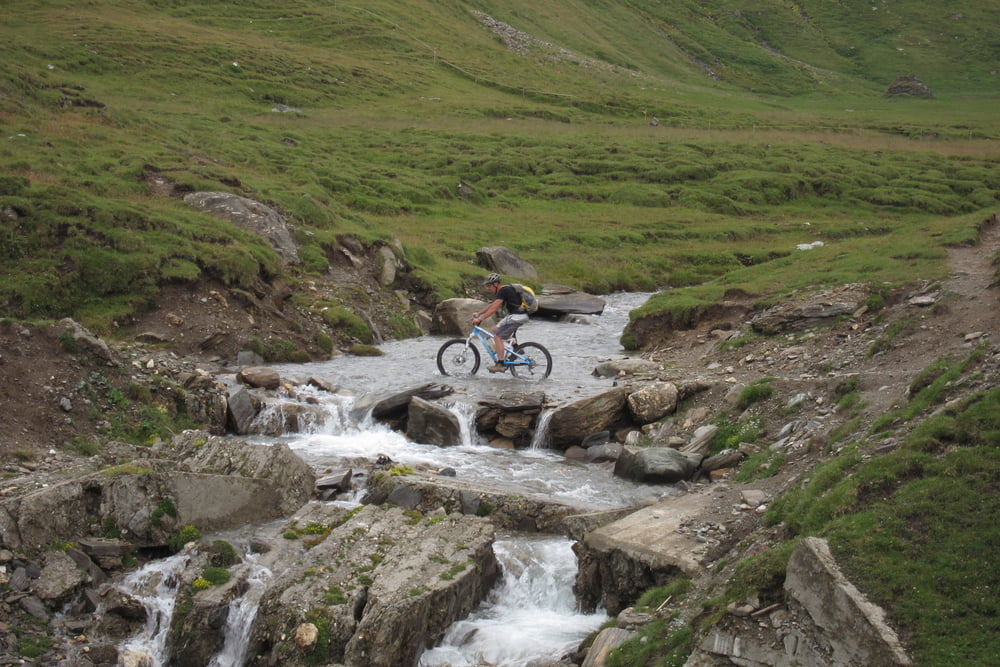
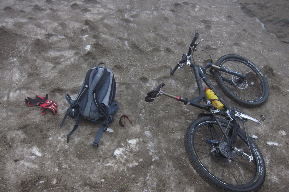
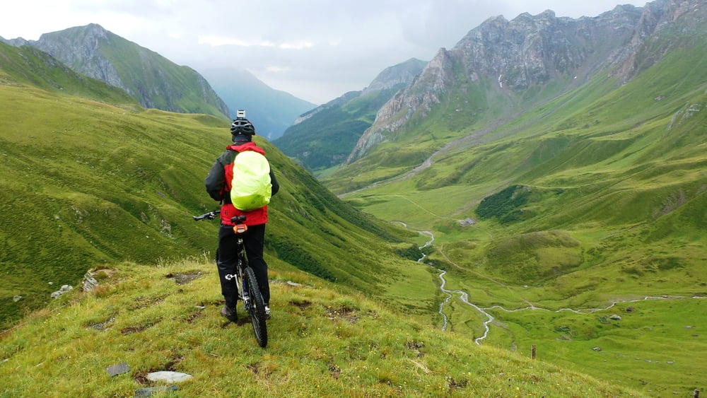
Vom Gasthof Alpenrose starteten wir im Morgentau zu unserem letzten Anstieg in dieser wunderschönen viertägigen Transalp Tour. Es geht 1150hm am Stück rauf zum Pfunderer Joch. Die 12.8% durchschnittliche Steigung lässt die Oberschenkel brennen! Aber dieser Aufstieg ist jede Mühe Wert! Am Joch ziehen wir uns auf einem alten Schneefeld schnell um und dann geht es auf nassem festen Sand wie in einer Kugerlbahn bergab. Der Weg wechselt bald auf Fels und groben Schotter und fordert unsere Fahrtechnik!. Nach 15.5km ist die Weitenbergalm erreicht und das schönste (aber auch schwierigste) Stück liegt hinter uns. Von hier geht es auf Alm, Schotter und zum Schluss wieder auf Asphalt nach Niedervintl wo das Fahrradtaxi uns wieder zurück zu unseren Autos in Kolsass shuttelt.
galéria trás
Mapa trasy a výškový profil
Minimum height 806 m
Maximum height 2599 m

komentáre

Anfahrt wie beschrieben: Tour 181834. Kolsass-Geiseljoch -Lanersbach
GPS trasy
Trackpoints-
GPX / Garmin Map Source (gpx) download
-
TCX / Garmin Training Center® (tcx) download
-
CRS / Garmin Training Center® (crs) download
-
Google Earth (kml) download
-
G7ToWin (g7t) download
-
TTQV (trk) download
-
Overlay (ovl) download
-
Fugawi (txt) download
-
Kompass (DAV) Track (tk) download
-
list trasy (pdf) download
-
Original file of the author (gpx) download
Add to my favorites
Remove from my favorites
Edit tags
Open track
My score
Rate