
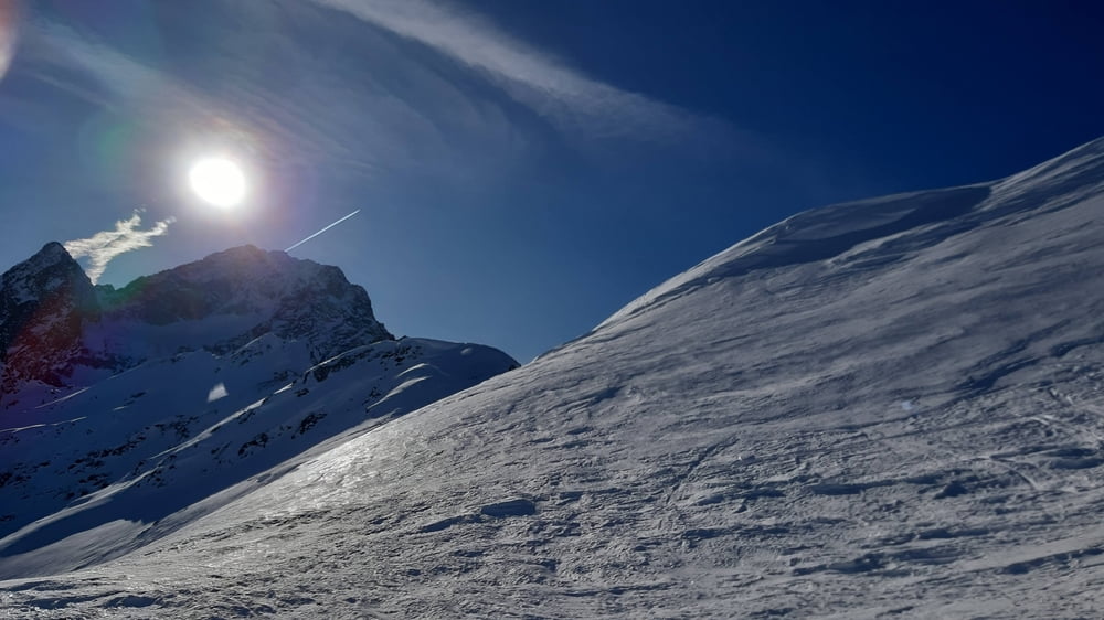

Der Einstieg durch den Wald ist ein wenig mühsam. Oberhalb der Baumgrenze ist es dann bei pistenähnlichen Verhältnissen angenehm zu gehen. Runter fahren wir linksherum, bis zum Wald gut fahrbar, dann wird's ein bisschen kniffelig auf der Bobbahn.
galéria trás
Mapa trasy a výškový profil
Minimum height 1736 m
Maximum height 2613 m
More about the tour author
|
|
mitter |
komentáre

Wir fahren von IBK über Sellrain die Kühtaistraße bis zur Bushaltestelle Kühtai Issalm. Da gibt es einen nicht allzu großen kostenfreien Parkplatz.
GPS trasy
Trackpoints-
GPX / Garmin Map Source (gpx) download
-
TCX / Garmin Training Center® (tcx) download
-
CRS / Garmin Training Center® (crs) download
-
Google Earth (kml) download
-
G7ToWin (g7t) download
-
TTQV (trk) download
-
Overlay (ovl) download
-
Fugawi (txt) download
-
Kompass (DAV) Track (tk) download
-
list trasy (pdf) download
-
Original file of the author (gpx) download
More about the tour author
|
|
mitter |
Add to my favorites
Remove from my favorites
Edit tags
Open track
My score
Rate