
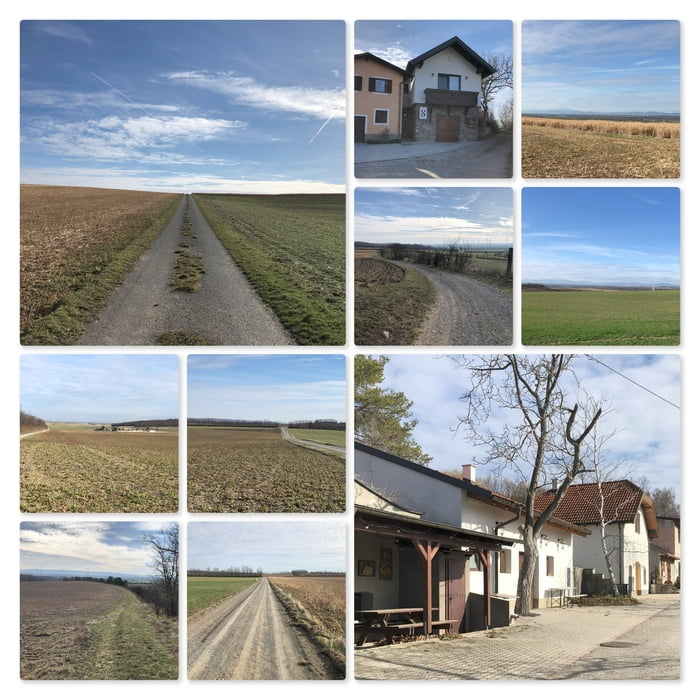

Ich stelle mein Auto am Parkplatz beim Fußballfeld ab und folge Schotterstraße Richtung Enzersdorf an der Fischa. Dann biege ich in die Kellergasse ein und gehe bis zum zum Keller vom Weingut Supper. Nun folge ich der kleinen Straße rechts und gehe an weiteren alten Weinkellern vorbei. Bald komme ich zu den Speditionslagern Am Campus.
Mein erstes Ziel ist der Rainberg mit seinen zwei auffälligen kleinen (EVN-) Häusern. Nun gehe ich auf der Forststraße weiter und komme zur Mangalitza Freiland Schweinefarm. Ich umrunde den Betrieb und folge den Wegen weiter Richtung Ludwigshof.
Ich gehe rechts am Ludwigshof vorbei und halte auf den Neuberg (262m) zu. Da dort jedoch eine Baustelle ist, verzichte ich auf den Aufstieg und nach links zum Schüttberg mit seinen Weingärten und den kleinen Weinkellern in der Huberzeile.
Das letzte Wegstück gehe ich auf dem Fußweg neben der Straße zurück zu meinem Parkplatz.
Mapa trasy a výškový profil
Minimum height 162 m
Maximum height 236 m
komentáre

Öffentlicher Parkplatz an den Koordinaten: N48° 04' 56.9" E16° 36' 37.4"
GPS trasy
Trackpoints-
GPX / Garmin Map Source (gpx) download
-
TCX / Garmin Training Center® (tcx) download
-
CRS / Garmin Training Center® (crs) download
-
Google Earth (kml) download
-
G7ToWin (g7t) download
-
TTQV (trk) download
-
Overlay (ovl) download
-
Fugawi (txt) download
-
Kompass (DAV) Track (tk) download
-
list trasy (pdf) download
-
Original file of the author (gpx) download
Add to my favorites
Remove from my favorites
Edit tags
Open track
My score
Rate