Login

Zabudli ste prihlasovacia meno

Cookies have to be accepted!
Your browser's cookie functionality is disabled. Please enable this functionality.

Not a member yet?

Register now
Login

Available for registred users only

Log in to use this feature.

Zabudli ste prihlasovacia meno

Cookies have to be accepted!
Your browser's cookie functionality is disabled. Please enable this functionality.

Not a member yet?

Register now
Filter
Kategórie
Advanced filters
  • Dĺžka (km)
  • výškomer
Uložiť filter Reset filter

TrackRank

QRCode

Technical data

Dĺžka6,4 km výškomer309 m Way down232 m Doba01:52 h:m dátum18.02.2024
ohodnotenia Author Kraj pôžitok z túry kondícia technika

štatistika

97 náhľady ohodnotenia 0 Stiahnutia priemer
Rate
  • list trasy
  • príjazd
  • Stiahnutia
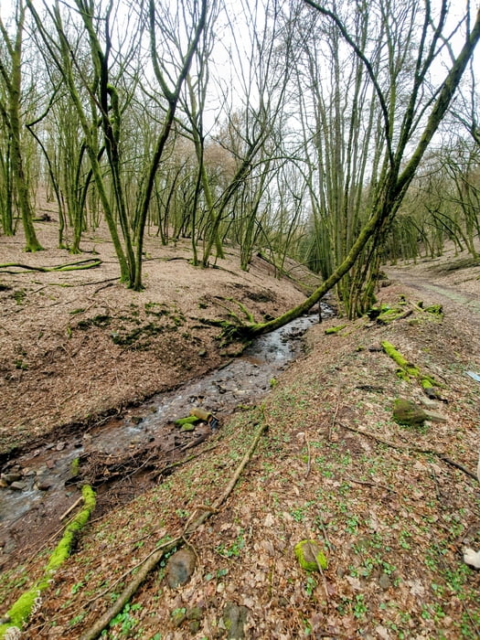
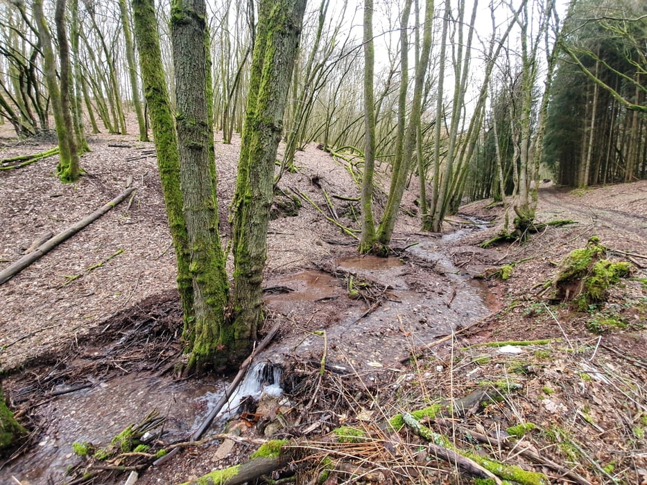
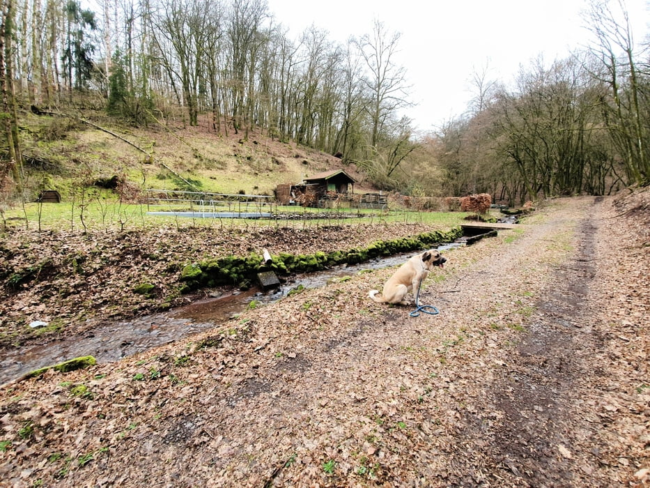
An einer Stelle gings dann fast nicht mehr weiter und wir mussten wieder zurück ins Bachtal. 
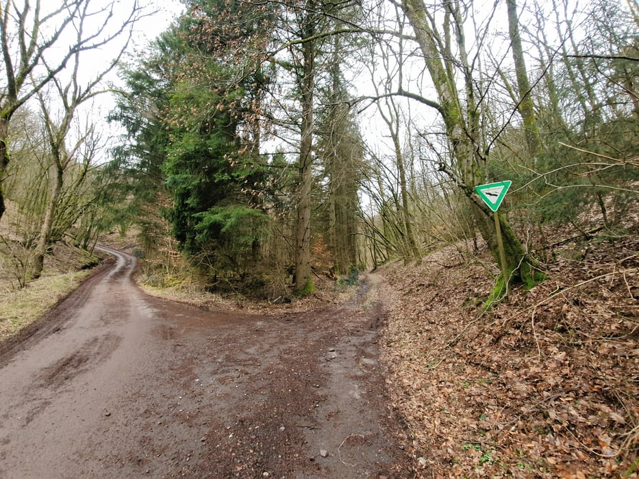
Anstrengende Explorer Tour mit viel Offgrid, bis zu nix geht mehr und " holt mich hier raus" Feeling. Die Aufzeichnung ist am Anfang fehlerhaft und im Original ca. 1 km länger.

galéria trás

Mapa trasy a výškový profil

  • Open Street Map
  • Google
Minimum height 361 m Maximum height 519 m Detailný pohľad

More about the tour author

forest-trailhunter
Member since 2015

Send private message

komentáre

GPS trasy

Trackpoints
  • GPX / Garmin Map Source (gpx) download
  • TCX / Garmin Training Center® (tcx) download
  • CRS / Garmin Training Center® (crs) download
  • Google Earth (kml) download
  • G7ToWin (g7t) download
  • TTQV (trk) download
  • Overlay (ovl) download
  • Fugawi (txt) download
  • Kompass (DAV) Track (tk) download
  • list trasy (pdf) download
  • Original file of the author (gpx) download

More about the tour author

forest-trailhunter
Member since 2015

Send private message
Share track
Add to my favorites
Remove from my favorites
Edit tags
My score
Rate
trasa: Was geht Alda?
Druh: trasa
Dĺžka: 6,4 km
Evaluated on:
Doba:
Day(s)
Hour(s)
Minute(s)
ohodnotenie: Kraj pôžitok z túry kondícia technika