Login

Zabudli ste prihlasovacia meno

Cookies have to be accepted!
Your browser's cookie functionality is disabled. Please enable this functionality.

Not a member yet?

Register now
Login

Available for registred users only

Log in to use this feature.

Zabudli ste prihlasovacia meno

Cookies have to be accepted!
Your browser's cookie functionality is disabled. Please enable this functionality.

Not a member yet?

Register now
Filter
Kategórie
Advanced filters
  • Dĺžka (km)
  • výškomer
Uložiť filter Reset filter

TrackRank

QRCode

Technical data

Dĺžka61,0 km výškomer1012 m Way down1012 m Doba00:00 h:m dátum25.06.2009
ohodnotenia Author User Kraj pôžitok z túry kondícia technika

štatistika

1407 náhľady 4 ohodnotenia 200 Stiahnutia 4.00 priemer
Rate
  • list trasy
  • príjazd
  • Stiahnutia

aktualisiert am 25.04.2010

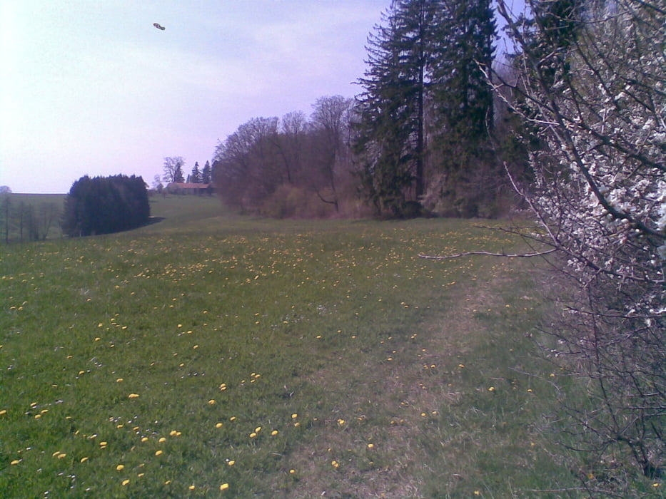
Große Schleife durch die südlichen westlichen Wäldern, zur höchsten Erhebung (655m) im Angelberger Forst.

Schöne Einkehrmöglichkeit mit super Panoramablick im Cafe Berghof in Tussenhausen. Highlight in Tussenhausen, die -  Bergstraße - eine der steilsten noch fahrbaren Anstiege in den westl. Wäldern.

Im Haseltal kommt man auch noch an einem kleinen idyllisch gelegenen Badeweiher vorbei - Badesachen mitnehmen!

galéria trás

Mapa trasy a výškový profil

  • Open Street Map
  • Google
Minimum height 512 m Maximum height 668 m Detailný pohľad

More about the tour author

Staudenbiker
Member since 2009

Send private message

komentáre

Dornstein on 11.09.2014

MTB-Runde zum höchsten Punkt in den westlichen Wäl

Super Runde vielen Dank für das Einstellen. Wir sind die Runde von Krumbach aus gefahren und in Aichach eingestiegen so waren es dann anstrengende 107 km und 1342 hm.

Gruß Dornstein

GPS trasy

Trackpoints
  • GPX / Garmin Map Source (gpx) download
  • TCX / Garmin Training Center® (tcx) download
  • CRS / Garmin Training Center® (crs) download
  • Google Earth (kml) download
  • G7ToWin (g7t) download
  • TTQV (trk) download
  • Overlay (ovl) download
  • Fugawi (txt) download
  • Kompass (DAV) Track (tk) download
  • list trasy (pdf) download
  • Original file of the author (gpx) download

More about the tour author

Staudenbiker
Member since 2009

Send private message
Share track
Add to my favorites
Remove from my favorites
Edit tags
My score
Rate
trasa: MTB-Runde zum höchsten Punkt in den westlichen Wäldern
Druh: horský bicykel
Dĺžka: 61,0 km
Evaluated on:
Doba:
Day(s)
Hour(s)
Minute(s)
ohodnotenie: Kraj pôžitok z túry kondícia technika