


Die vierte Etappe unseres 2009er Alpencross führte uns über die Seiser Alm am Völser Weiher vorbei nach Bozen. Weiter ging es nach Kaltern, mit der Mendelbahn rauf und weiter durchs Nonstal nach Tuenno.
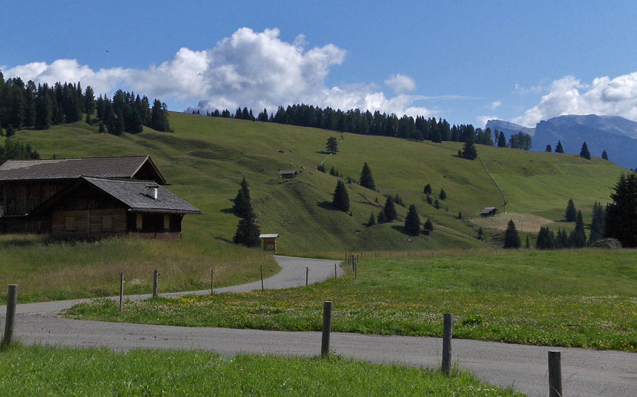
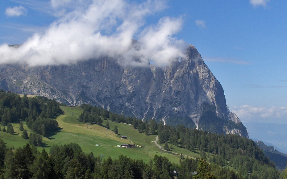
Durchs Jendertal gings auf gut zu fahrendem Forstweg zur Seiser Alm rauf. Diese durchquerten wir durchgängig auf Asphalt. Im Geschwindigkeitsrausch ging es am Schlern vorbei. Auf einen Trail kamen wir erst kurz vor dem Völser Weiher, da war der Geschwindigkeitsrausch dran Schuld...
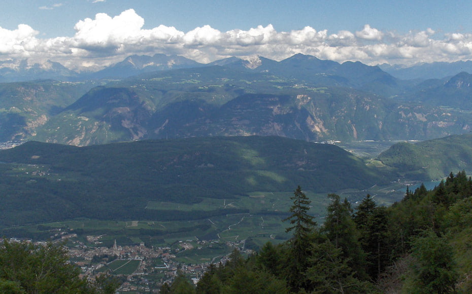
Danach ging es wieder auf Asphalt, bergab nach Bozen, an Bozen vorbei, auf einem Radlweg nach Kaltern und dann nach St. Anton zur Mendelbahn. Dieser kulturhistorische Ausflug ersparte uns 850 Höhenmeter. :-)
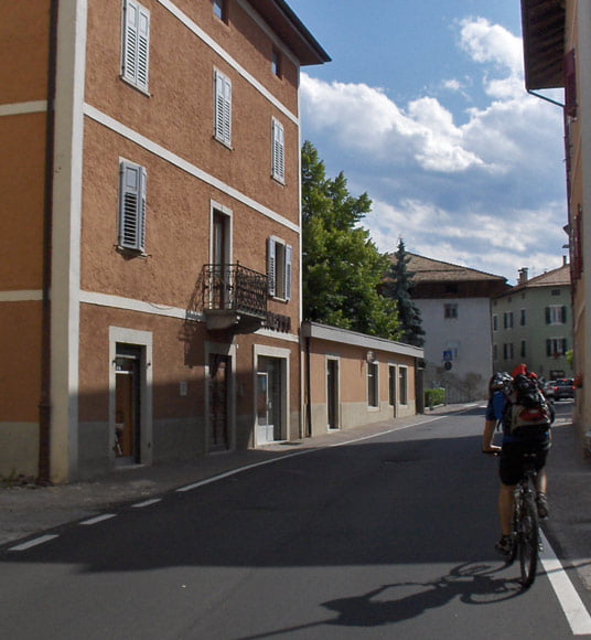
Unspektakulär ging es dann durch trentiner Dörfer, durchs Nonstal. Übernachtungsort war Tuenno.
Auf meiner Internetseite gibt es einen kurzen Tourbericht und viele Fotos.
Der link dazu steht unten, viel Spass...
Further information at
http://www.alpenx-xl.de/2009/09ax04/09ax04.phpgaléria trás
Mapa trasy a výškový profil
Minimum height 256 m
Maximum height 1867 m
More about the tour author
|
|
AlpenX-XL.de |
komentáre

GPS trasy
Trackpoints-
GPX / Garmin Map Source (gpx) download
-
TCX / Garmin Training Center® (tcx) download
-
CRS / Garmin Training Center® (crs) download
-
Google Earth (kml) download
-
G7ToWin (g7t) download
-
TTQV (trk) download
-
Overlay (ovl) download
-
Fugawi (txt) download
-
Kompass (DAV) Track (tk) download
-
list trasy (pdf) download
-
Original file of the author (gpx) download
More about the tour author
|
|
AlpenX-XL.de |
Add to my favorites
Remove from my favorites
Edit tags
Open track
My score
Rate