

!!! Der Track wurde auf einer topographischen Karte erstellt und nicht mit einem GPS-Gerät aufgezeichnet !!!
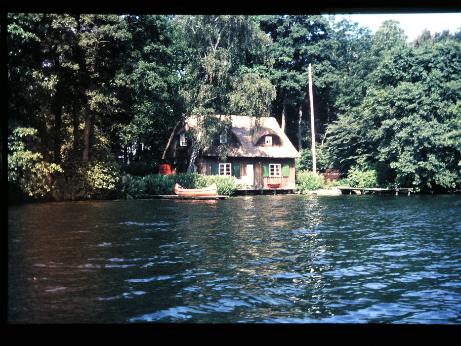
Der Kellersee ist ein See in der Holsteinischen Schweiz. Er liegt östlich von Malente im Lauf der Schwentine. Unsere kleine Tour führte vom Keller See auf der Schwentine bis in den wunderschönen Sibbesdorfer See.
(Haftungsausschluss: siehe Nutzungsbestimmungen)
Der Kellersee ist ein See in der Holsteinischen Schweiz. Er liegt östlich von Malente im Lauf der Schwentine. Unsere kleine Tour führte vom Keller See auf der Schwentine bis in den wunderschönen Sibbesdorfer See.
(Haftungsausschluss: siehe Nutzungsbestimmungen)
Further information at
http://de.wikipedia.org/wiki/Kellerseegaléria trás
Mapa trasy a výškový profil
Minimum height 18 m
Maximum height 33 m
More about the tour author
|
|
riemchens |
komentáre

GPS trasy
Trackpoints-
GPX / Garmin Map Source (gpx) download
-
TCX / Garmin Training Center® (tcx) download
-
CRS / Garmin Training Center® (crs) download
-
Google Earth (kml) download
-
G7ToWin (g7t) download
-
TTQV (trk) download
-
Overlay (ovl) download
-
Fugawi (txt) download
-
Kompass (DAV) Track (tk) download
-
list trasy (pdf) download
-
Original file of the author (gpx) download
More about the tour author
|
|
riemchens |
Add to my favorites
Remove from my favorites
Edit tags
Open track
My score
Rate