


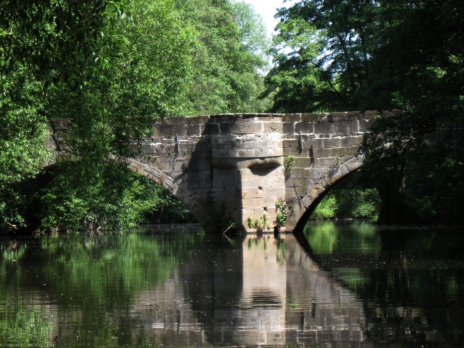
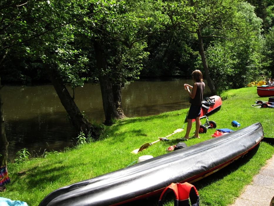
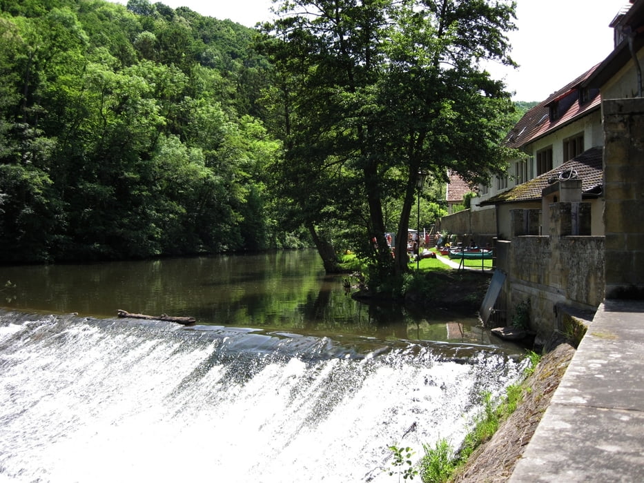
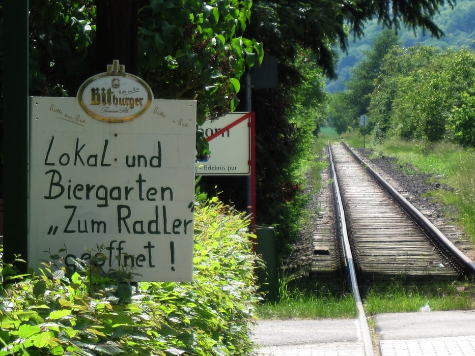
Der Glan ist ein 90 km langer Fluss im Saarland und in Rheinland-Pfalz. Hauptsächlich fließt er im Nordwesten der Pfalz. Wir paddelten von unserer Einsatzstelle in Medhardt am Sportplatz bis nach Rehborn. Der Fluss ist einfach zu paddeln und landschaftlich sehr schön. Das Wehr in Meisenheim ist nicht ganz leicht zu umtragen. Man muss das Boot über eine Mauer heben, dann geht es ca. 300m weiter auf einer asphaltierten Straße - hier sollte man einen Bootswagen dabeihaben. Kurz vor Rehborn befindet sich die kleine Anlegestelle direkt unter einer Brücke, die zu einem Biergarten direkt an der Dreisinenstrecke gehört (Schild am Steeg). Ein wunderbarer Platz zur Beendigung der Tour.
Der Glan ist vom Wasserstand fast immer grenzwertig und für Faltboote eigentlich nicht zu empfehlen.
(Haftungsausschluss: siehe Nutzungsbestimmungen)
Der Glan ist vom Wasserstand fast immer grenzwertig und für Faltboote eigentlich nicht zu empfehlen.
(Haftungsausschluss: siehe Nutzungsbestimmungen)
Further information at
http://de.wikipedia.org/wiki/Glan_(Nahe)galéria trás
Mapa trasy a výškový profil
Minimum height 136 m
Maximum height 142 m
More about the tour author
|
|
riemchens |
komentáre

Auf der B420 nach Medard. Die Einsatzstelle ist kur unterhalb des Wehres. Hiere setzen auch die Kanuverleihfirmen ein.
GPS trasy
Trackpoints-
GPX / Garmin Map Source (gpx) download
-
TCX / Garmin Training Center® (tcx) download
-
CRS / Garmin Training Center® (crs) download
-
Google Earth (kml) download
-
G7ToWin (g7t) download
-
TTQV (trk) download
-
Overlay (ovl) download
-
Fugawi (txt) download
-
Kompass (DAV) Track (tk) download
-
list trasy (pdf) download
-
Original file of the author (gpx) download
More about the tour author
|
|
riemchens |
Add to my favorites
Remove from my favorites
Edit tags
Open track
My score
Rate