


!!! Die GPS-Daten der Tour wurden nur grob auf einer Karte nachgezeichnet und eignen sich in keinem Fall zur Navigation !!!
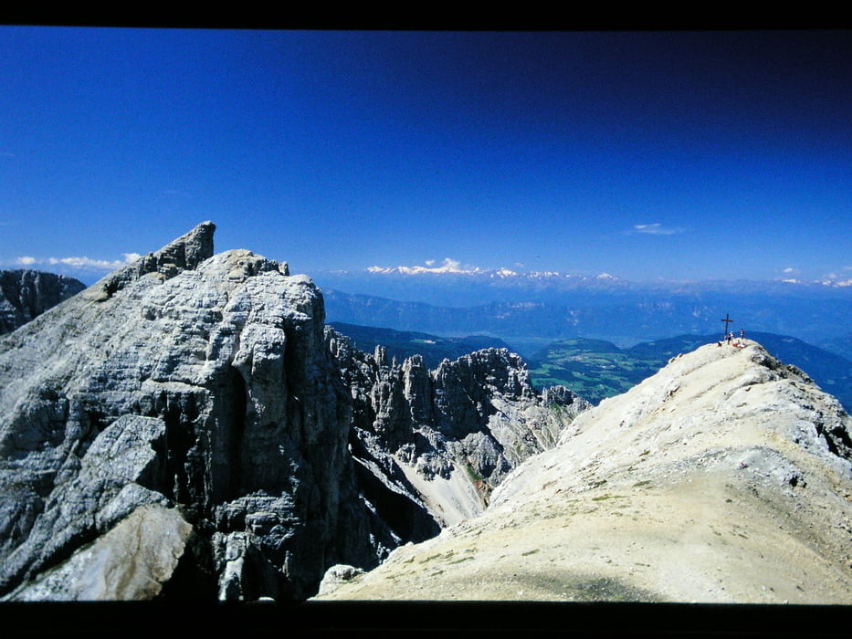
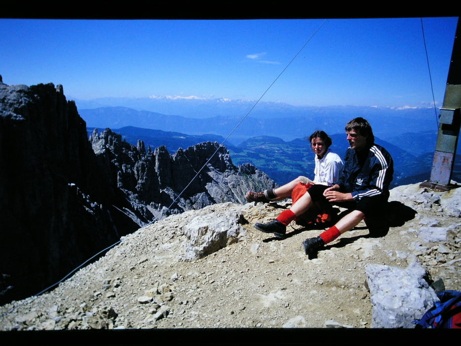
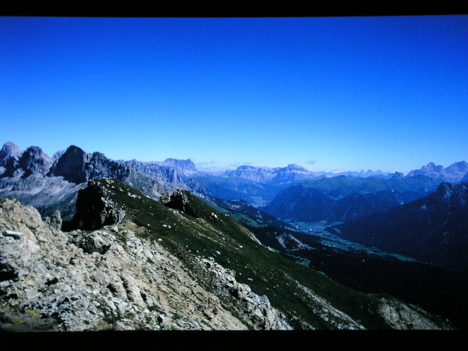
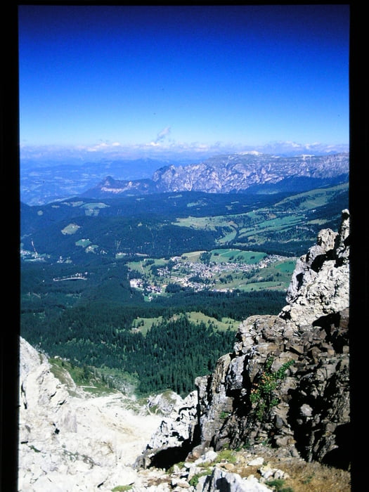
1985 stiegen wir von Carezza um die Poppekanzel herum und dann weiter über die Latemarscharte zur Latemarspitze. Die Bilder schon allein zeigen, wie fantastisch diese Tour war. Eine Kletterausrüstung war nicht notwendig. Dei Tour ist für eine Bergtour relativ lang und mit gut 1400 Höhenmetern anspruchsvoll.
Landschaft super, sicher eine der schönsten Bergtouren, die ich gemacht habe - nur übertroffen von den Bergwanderungen auf Korsika mit der Königsroute GR 20 !
(Haftungsausschluss: siehe Nutzungsbestimmungen)
Further information at
http://de.wikipedia.org/wiki/Latemargaléria trás
Mapa trasy a výškový profil
Minimum height 1640 m
Maximum height 2785 m
More about the tour author
|
|
riemchens |
komentáre

Der Ausgangspunkt der Tour ist sicher mit dem Track leicht zu finden.
GPS trasy
Trackpoints-
GPX / Garmin Map Source (gpx) download
-
TCX / Garmin Training Center® (tcx) download
-
CRS / Garmin Training Center® (crs) download
-
Google Earth (kml) download
-
G7ToWin (g7t) download
-
TTQV (trk) download
-
Overlay (ovl) download
-
Fugawi (txt) download
-
Kompass (DAV) Track (tk) download
-
list trasy (pdf) download
-
Original file of the author (gpx) download
More about the tour author
|
|
riemchens |
Add to my favorites
Remove from my favorites
Edit tags
Open track
My score
Rate