Login

Si pozabil/a podatke za prijavo?

Cookies have to be accepted!
Your browser's cookie functionality is disabled. Please enable this functionality.

Not a member yet?

Register now
Login

Available for registred users only

Log in to use this feature.

Si pozabil/a podatke za prijavo?

Cookies have to be accepted!
Your browser's cookie functionality is disabled. Please enable this functionality.

Not a member yet?

Register now
Filter
Kategorije
Advanced filters
  • Dolžina (km)
  • Metri nadmorske višine
Shrani filter Reset filter

TrackRank

QRCode

Technical data

Dolžina26,1 km Metri nadmorske višine698 m Way down448 m Trajanje03:00 h:m Datum14.06.2012
Ocene Author Pokrajina Dejavnik zabave Kondicija Tehnika

Statistika

1832 Pogledi Ocene 63 Prenosi Povprečje
Rate
  • List z izleti
  • Prihod
  • Prenosi

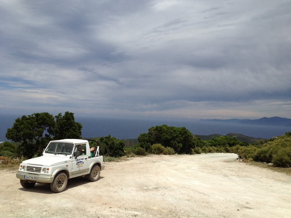
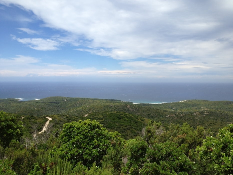
Sand- und Steinpisten, Rampen und Schlammlöcher dann wird die Sicht frei auf die Küste und man endeckt weiße Strandbuchten z.T. menschenleer. Genug Wasser und Handy nicht vergessen.

Viel Spaß!

Galerija izletov

Zemljevid in višinski profil izleta

  • Open Street Map
  • Google
Minimum height 4 m Maximum height 401 m Prikaz podrobnosti

More about the tour author

berndhuber
Member since 2008

Send private message

Komentarji


lìlle Rousse>Osticoni Bucht


Poti GPS

Trackpoints
  • GPX / Garmin Map Source (gpx) download
  • TCX / Garmin Training Center® (tcx) download
  • CRS / Garmin Training Center® (crs) download
  • Google Earth (kml) download
  • G7ToWin (g7t) download
  • TTQV (trk) download
  • Overlay (ovl) download
  • Fugawi (txt) download
  • Kompass (DAV) Track (tk) download
  • List z izleti (pdf) download
  • Original file of the author (gpx) download

More about the tour author

berndhuber
Member since 2008

Send private message
Share track
Add to my favorites
Remove from my favorites
Edit tags
My score
Rate
Izlet: In die Wüste Korsika´s
Vrsta: ATV-Quad
Dolžina: 26,1 km
Evaluated on:
Trajanje:
Day(s)
Hour(s)
Minute(s)
Ocena: Pokrajina Dejavnik zabave Kondicija Tehnika