
Login

Si pozabil/a podatke za prijavo?

Cookies have to be accepted!
Your browser's cookie functionality is disabled. Please enable this functionality.

Not a member yet?

Register now
Login

Available for registred users only

Log in to use this feature.

Si pozabil/a podatke za prijavo?

Cookies have to be accepted!
Your browser's cookie functionality is disabled. Please enable this functionality.

Not a member yet?

Register now
Filter
Kategorije
Advanced filters
  • Dolžina (km)
  • Metri nadmorske višine
Shrani filter Reset filter

TrackRank

QRCode

Technical data

Dolžina26,5 km Metri nadmorske višine537 m Way down251 m Trajanje00:00 h:m Datum08.07.2012
Ocene Author Pokrajina Dejavnik zabave Kondicija Tehnika

Statistika

366 Pogledi Ocene 23 Prenosi Povprečje
Rate
  • List z izleti
  • Prihod
  • Prenosi
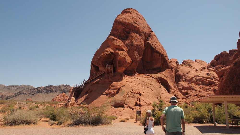
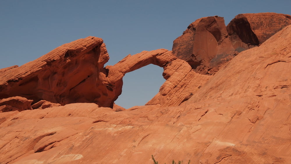
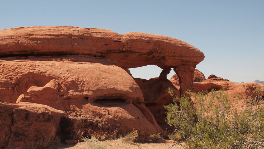
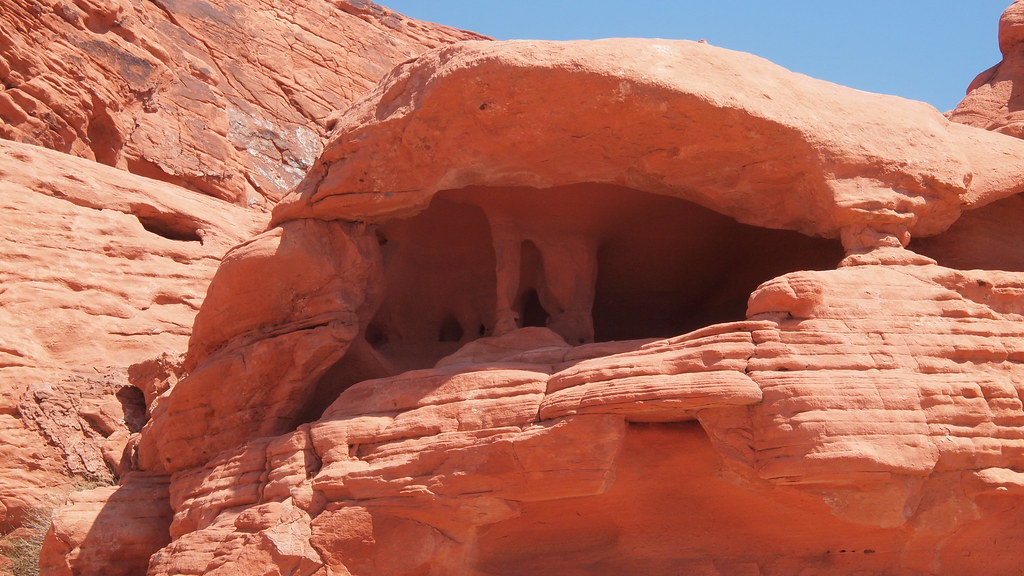
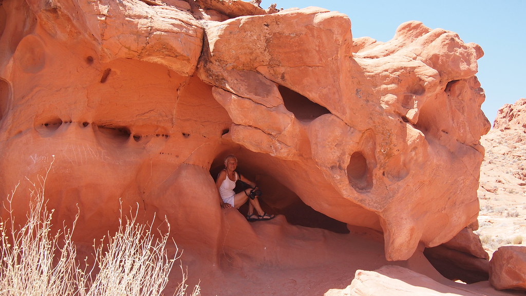
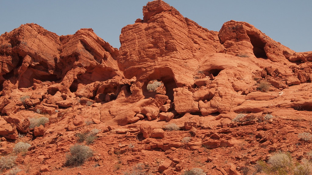
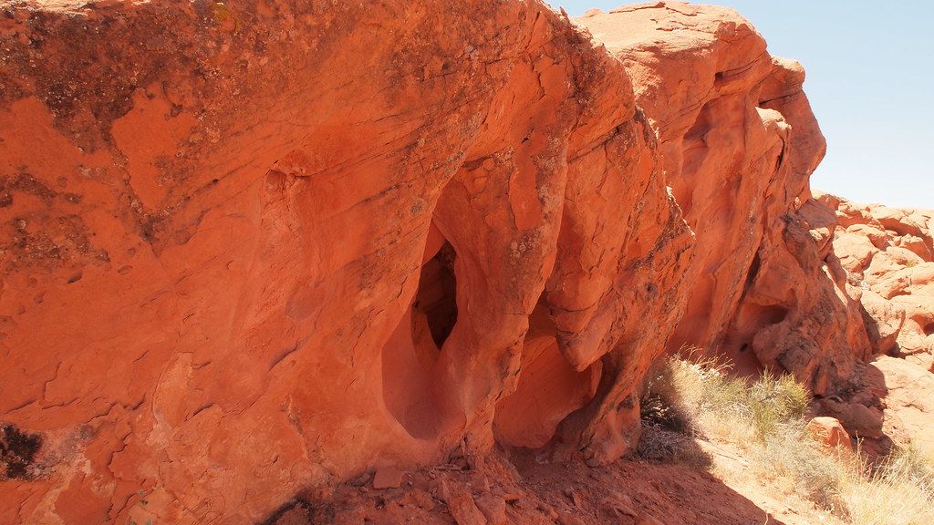
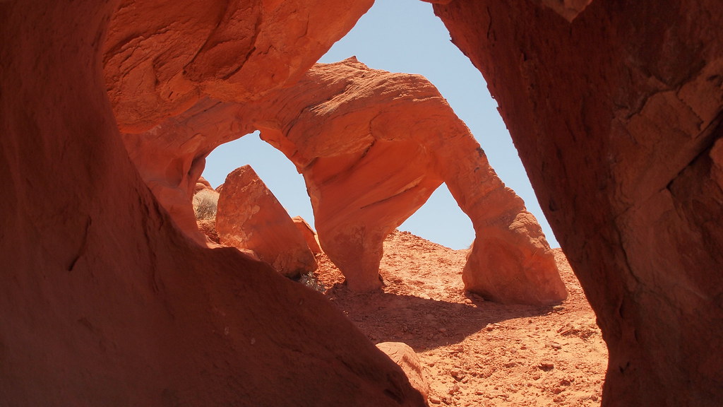
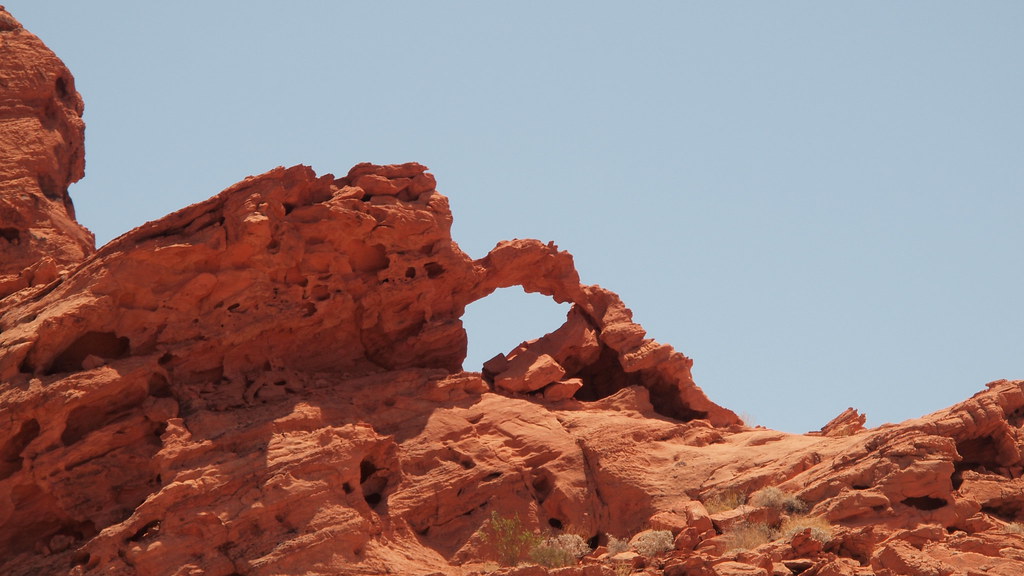
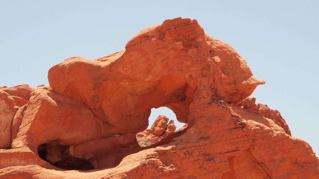
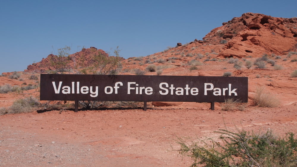
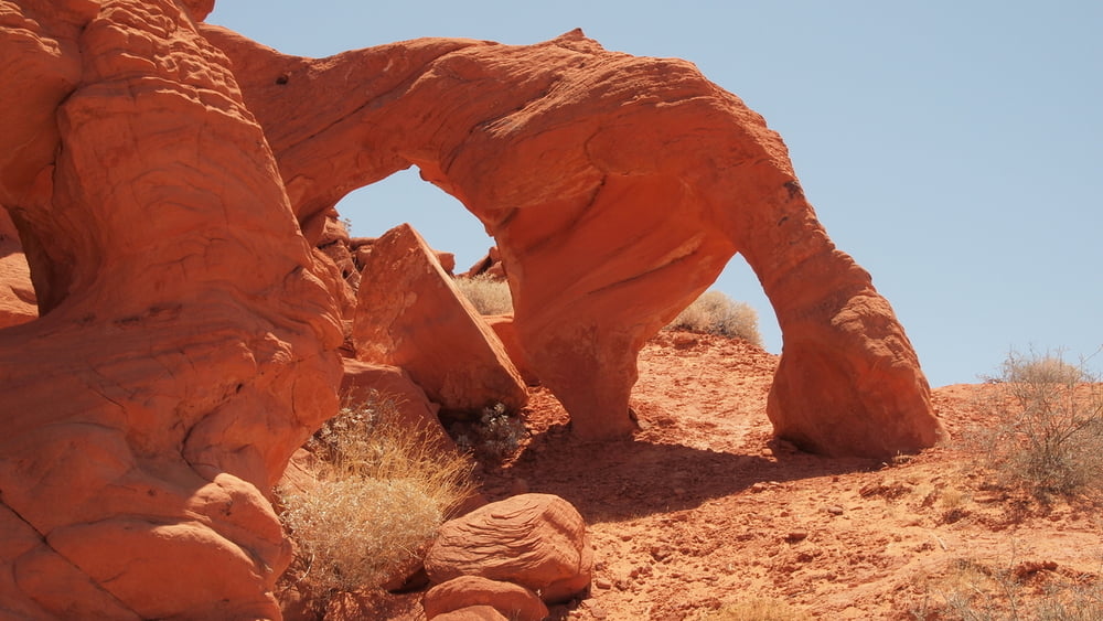
Nevada State Park, lots of information can be found on the internet.
The visit to the Nevada State Park was done in 3 parts: hiking near the Highway, White Domes Road, Hiking North of East Entrance.
 

Galerija izletov
Zemljevid in višinski profil izleta

  • Open Street Map
  • Google
Minimum height 516 m Maximum height 912 m Prikaz podrobnosti

More about the tour author

willydn
Member since 2012

Send private message

Komentarji

More about the tour author

willydn
Member since 2012

Send private message
Share track
Add to my favorites
Remove from my favorites
Edit tags
My score
Rate
Izlet: Valley of Fire Highway
Vrsta: Pešačenje
Dolžina: 26,5 km
Evaluated on:
Trajanje:
Day(s)
Hour(s)
Minute(s)
Ocena: Pokrajina Dejavnik zabave Kondicija Tehnika