Login

Si pozabil/a podatke za prijavo?

Cookies have to be accepted!
Your browser's cookie functionality is disabled. Please enable this functionality.

Not a member yet?

Register now
Login

Available for registred users only

Log in to use this feature.

Si pozabil/a podatke za prijavo?

Cookies have to be accepted!
Your browser's cookie functionality is disabled. Please enable this functionality.

Not a member yet?

Register now
Filter
Kategorije
Advanced filters
  • Dolžina (km)
  • Metri nadmorske višine
Shrani filter Reset filter

TrackRank

QRCode

Technical data

Dolžina14,3 km Metri nadmorske višine161 m Way down166 m Trajanje00:00 h:m Datum08.09.2012
Ocene Author Pokrajina Dejavnik zabave Kondicija Tehnika

Statistika

834 Pogledi Ocene 3 Prenosi Povprečje
Rate
  • List z izleti
  • Prihod
  • Prenosi
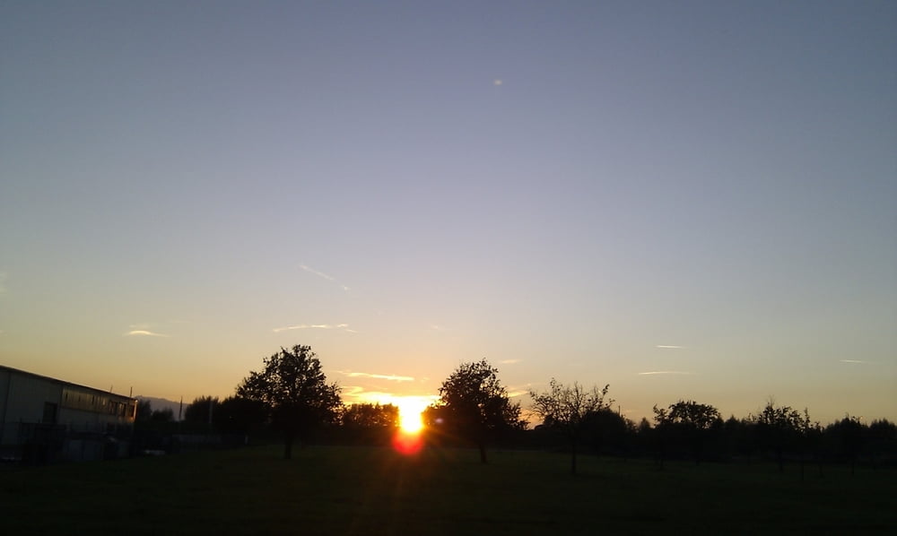
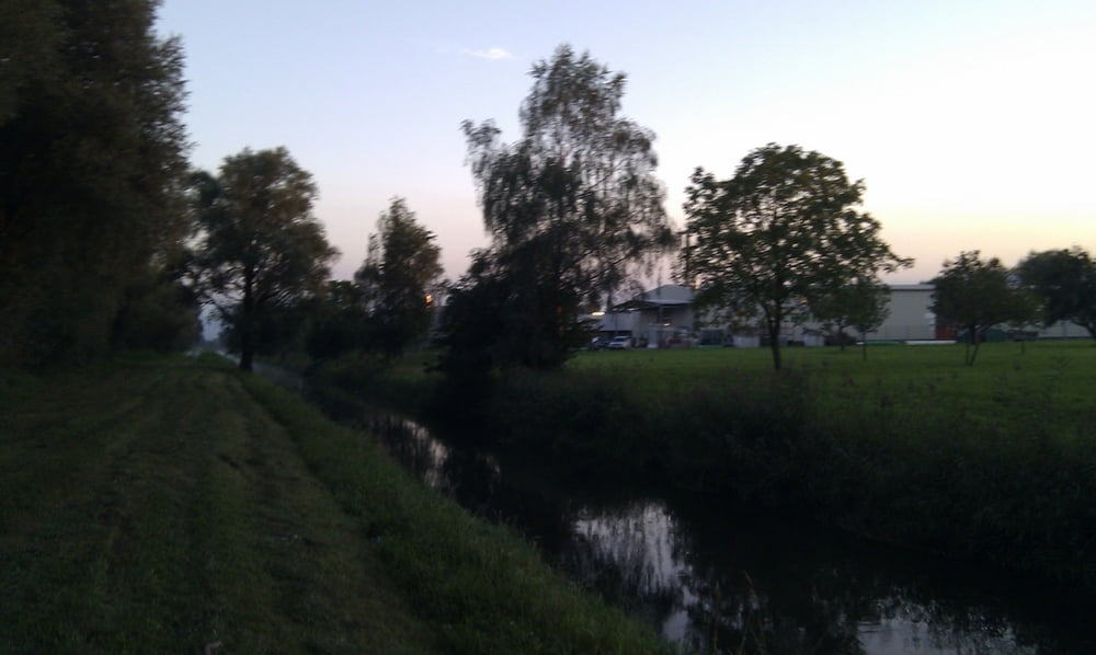
Die Tour führt durch das ruhige Lustenau, das Schweißer Ried und das Rheinvorland. Das Highlight: Durchqueren der Dornbirner Ach. Bis zur Harder Brücke verläuft der Weg neben der Dornbirner Ach. Anschließend entlang des Lustenauer Kanals zurück.
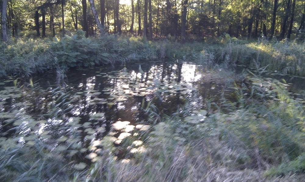
Galerija izletov

Zemljevid in višinski profil izleta

  • Open Street Map
  • Google
Minimum height 420 m Maximum height 478 m Prikaz podrobnosti

More about the tour author

saboline
Member since 2012

Send private message

Komentarji

Poti GPS

Trackpoints
  • GPX / Garmin Map Source (gpx) download
  • TCX / Garmin Training Center® (tcx) download
  • CRS / Garmin Training Center® (crs) download
  • Google Earth (kml) download
  • G7ToWin (g7t) download
  • TTQV (trk) download
  • Overlay (ovl) download
  • Fugawi (txt) download
  • Kompass (DAV) Track (tk) download
  • List z izleti (pdf) download
  • Original file of the author (gpx) download

More about the tour author

saboline
Member since 2012

Send private message
Share track
Add to my favorites
Remove from my favorites
Edit tags
My score
Rate
Izlet: Dornbirner Ach
Vrsta: Ježa
Dolžina: 14,3 km
Evaluated on:
Trajanje:
Day(s)
Hour(s)
Minute(s)
Ocena: Pokrajina Dejavnik zabave Kondicija Tehnika