Login

Si pozabil/a podatke za prijavo?

Cookies have to be accepted!
Your browser's cookie functionality is disabled. Please enable this functionality.

Not a member yet?

Register now
Login

Available for registred users only

Log in to use this feature.

Si pozabil/a podatke za prijavo?

Cookies have to be accepted!
Your browser's cookie functionality is disabled. Please enable this functionality.

Not a member yet?

Register now
Filter
Kategorije
Advanced filters
  • Dolžina (km)
  • Metri nadmorske višine
Shrani filter Reset filter

TrackRank

QRCode

Technical data

Dolžina38,0 km Metri nadmorske višine1167 m Way down1276 m Trajanje02:45 h:m Datum29.08.2012
Ocene Author Pokrajina Dejavnik zabave Kondicija Tehnika

Statistika

251 Pogledi Ocene 23 Prenosi Povprečje
Rate
  • List z izleti
  • Prihod
  • Prenosi


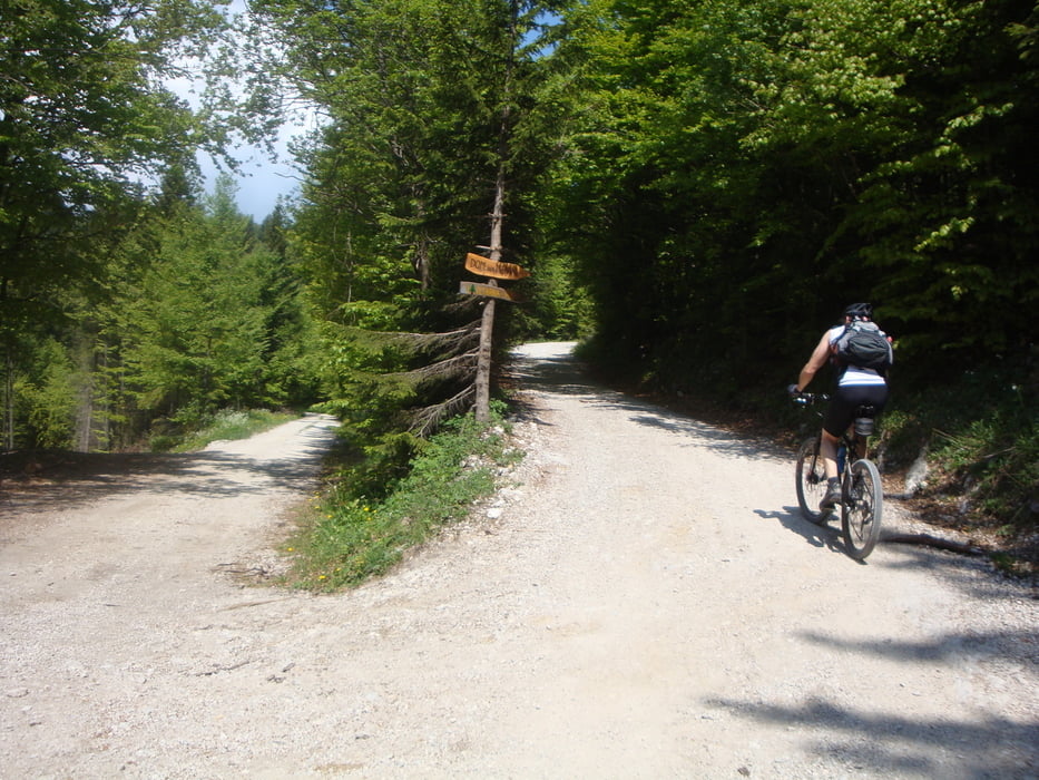
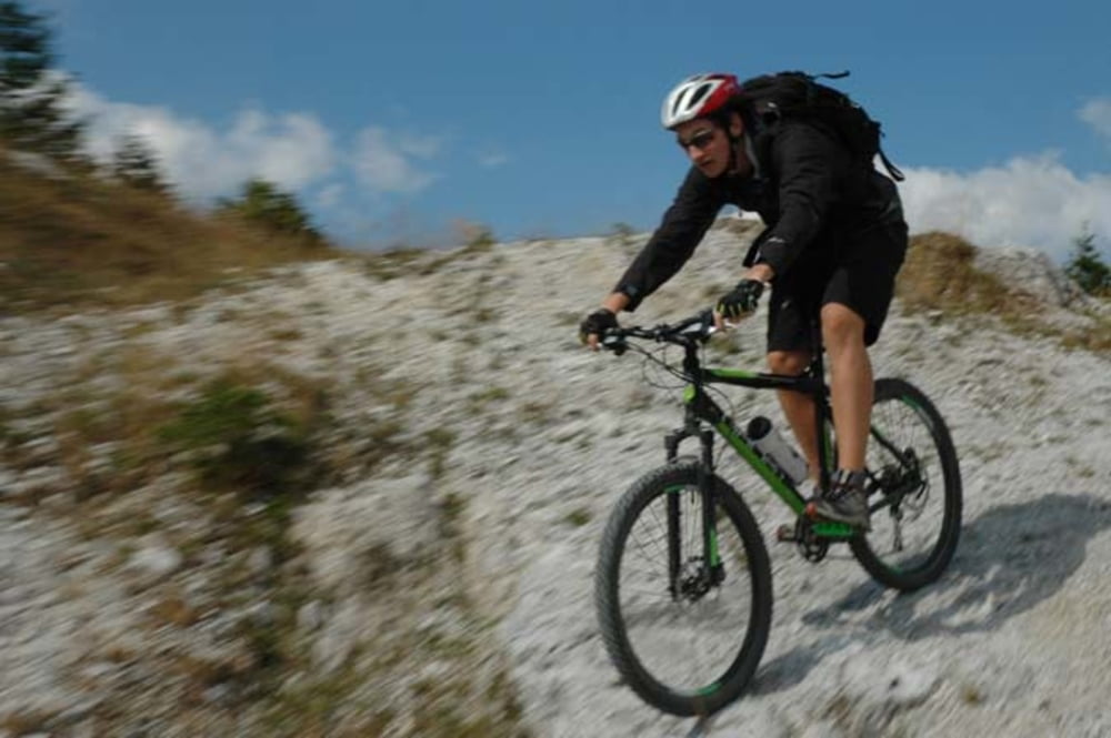
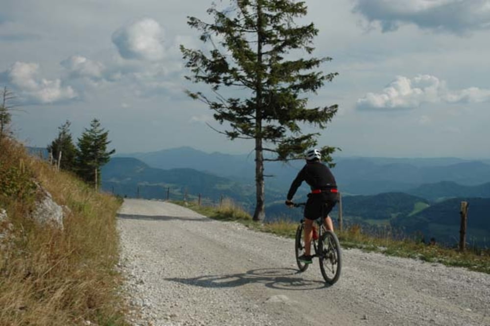
Cirkušev Tuhinju - Zgornji Tuhinj - Menina - Kriva veja - Češnjice - Cirkuše

Further information at

https://mtb-itd.si/poti/menina_cez_tuhinj

Galerija izletov

Zemljevid in višinski profil izleta

  • Open Street Map
  • Google
Minimum height 623 m Maximum height 1512 m Prikaz podrobnosti

More about the tour author

andrejno
Member since 2012

Send private message

Komentarji

Poti GPS

Trackpoints
  • GPX / Garmin Map Source (gpx) download
  • TCX / Garmin Training Center® (tcx) download
  • CRS / Garmin Training Center® (crs) download
  • Google Earth (kml) download
  • G7ToWin (g7t) download
  • TTQV (trk) download
  • Overlay (ovl) download
  • Fugawi (txt) download
  • Kompass (DAV) Track (tk) download
  • List z izleti (pdf) download
  • Original file of the author (gpx) download

More about the tour author

andrejno
Member since 2012

Send private message
Share track
Add to my favorites
Remove from my favorites
Edit tags
My score
Rate
Izlet: Menina iz Cirkuš preko Zgornjega Tuhinja
Vrsta: Gorsko kolo
Dolžina: 38,0 km
Evaluated on:
Trajanje:
Day(s)
Hour(s)
Minute(s)
Ocena: Pokrajina Dejavnik zabave Kondicija Tehnika