Login

Si pozabil/a podatke za prijavo?

Cookies have to be accepted!
Your browser's cookie functionality is disabled. Please enable this functionality.

Not a member yet?

Register now
Login

Available for registred users only

Log in to use this feature.

Si pozabil/a podatke za prijavo?

Cookies have to be accepted!
Your browser's cookie functionality is disabled. Please enable this functionality.

Not a member yet?

Register now
Filter
Kategorije
Advanced filters
  • Dolžina (km)
  • Metri nadmorske višine
Shrani filter Reset filter

TrackRank

QRCode

Technical data

Dolžina352,7 km Metri nadmorske višine2018 m Way down2009 m Trajanje00:00 h:m Datum05.01.2013
Ocene Author Pokrajina Dejavnik zabave Kondicija Tehnika

Statistika

836 Pogledi Ocene 7 Prenosi Povprečje
Rate
  • List z izleti
  • Prihod
  • Prenosi

GPX Track of the VPDaDOE.

An exciting trip it was!

Track recorded from Mr. HoD.
Simplified by the Site.
For original GPX ask Mr. Sugar.
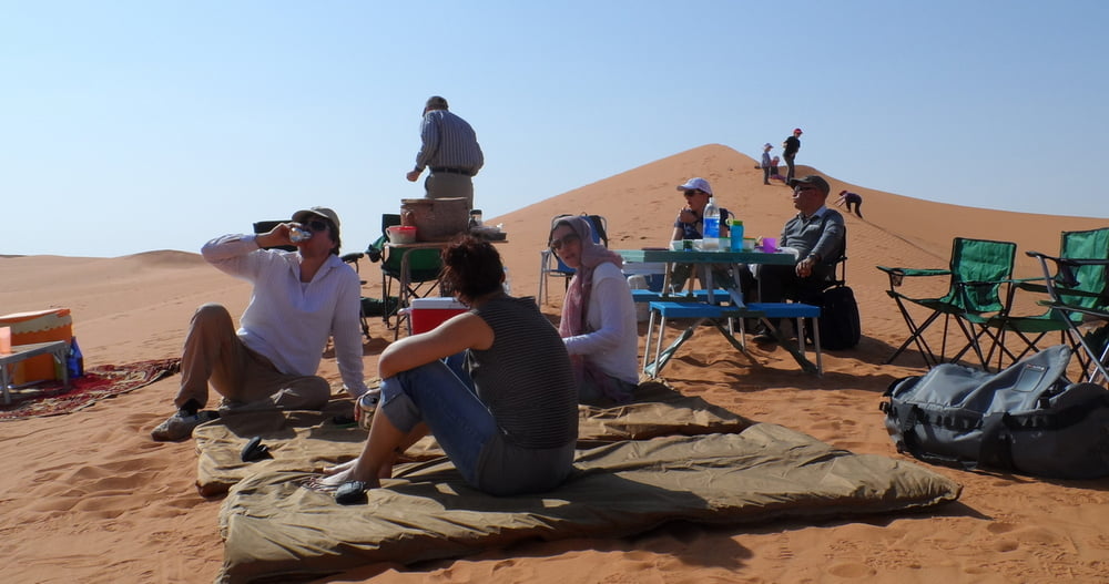
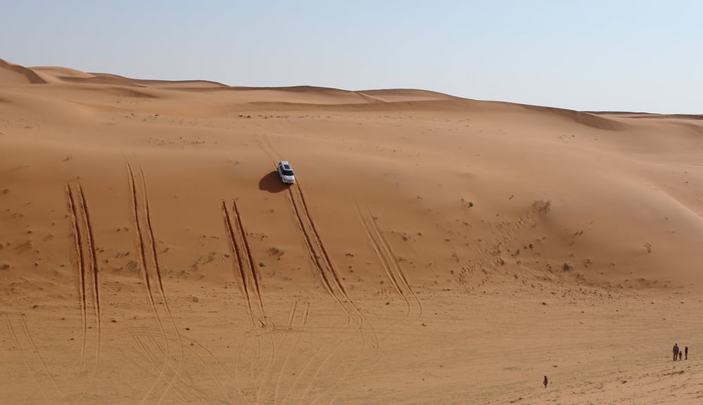
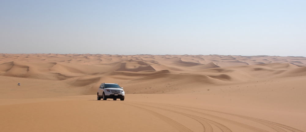
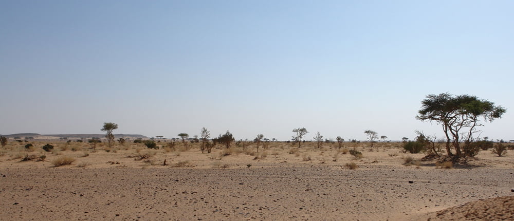


Galerija izletov

Zemljevid in višinski profil izleta

  • Open Street Map
  • Google
Minimum height 619 m Maximum height 931 m Prikaz podrobnosti

More about the tour author

Ranoidea
Member since 2011

Send private message

Komentarji

Poti GPS

Trackpoints
  • GPX / Garmin Map Source (gpx) download
  • TCX / Garmin Training Center® (tcx) download
  • CRS / Garmin Training Center® (crs) download
  • Google Earth (kml) download
  • G7ToWin (g7t) download
  • TTQV (trk) download
  • Overlay (ovl) download
  • Fugawi (txt) download
  • Kompass (DAV) Track (tk) download
  • List z izleti (pdf) download
  • Original file of the author (gpx) download

More about the tour author

Ranoidea
Member since 2011

Send private message
Share track
Add to my favorites
Remove from my favorites
Edit tags
My score
Rate
Izlet: VPDaDOE
Vrsta: ATV-Quad
Dolžina: 352,7 km
Evaluated on:
Trajanje:
Day(s)
Hour(s)
Minute(s)
Ocena: Pokrajina Dejavnik zabave Kondicija Tehnika