Login

Si pozabil/a podatke za prijavo?

Cookies have to be accepted!
Your browser's cookie functionality is disabled. Please enable this functionality.

Not a member yet?

Register now
Login

Available for registred users only

Log in to use this feature.

Si pozabil/a podatke za prijavo?

Cookies have to be accepted!
Your browser's cookie functionality is disabled. Please enable this functionality.

Not a member yet?

Register now
Filter
Kategorije
Advanced filters
  • Dolžina (km)
  • Metri nadmorske višine
Shrani filter Reset filter

TrackRank

QRCode

Technical data

Dolžina36,6 km Metri nadmorske višine1356 m Way down1377 m Trajanje05:20 h:m Datum17.07.2013
Ocene Author Pokrajina Dejavnik zabave Kondicija Tehnika

Statistika

1388 Pogledi Ocene 233 Prenosi Povprečje
Rate
  • List z izleti
  • Prihod
  • Prenosi

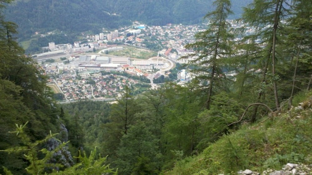
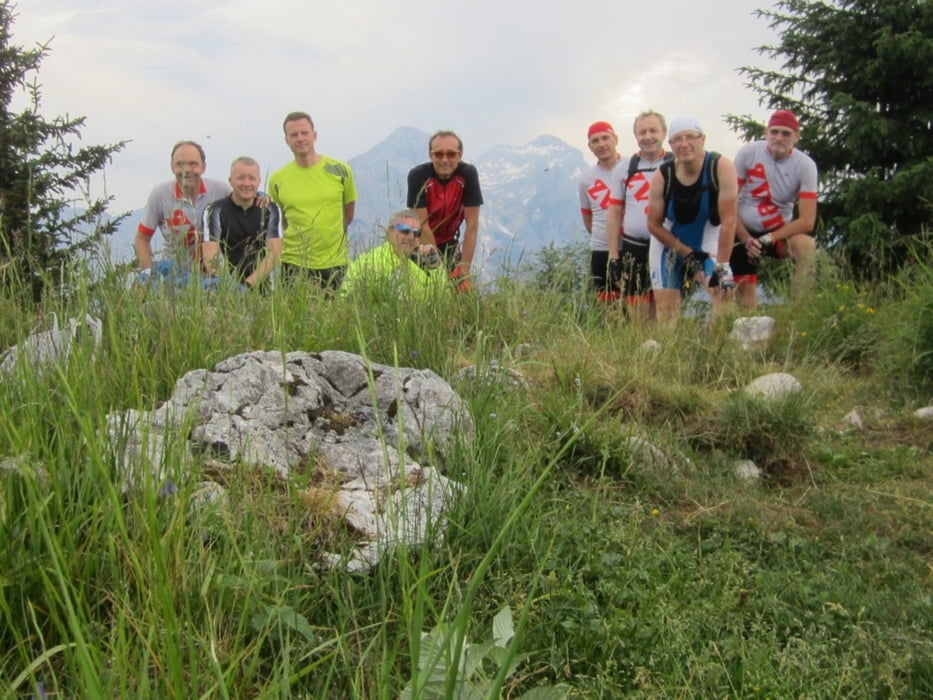
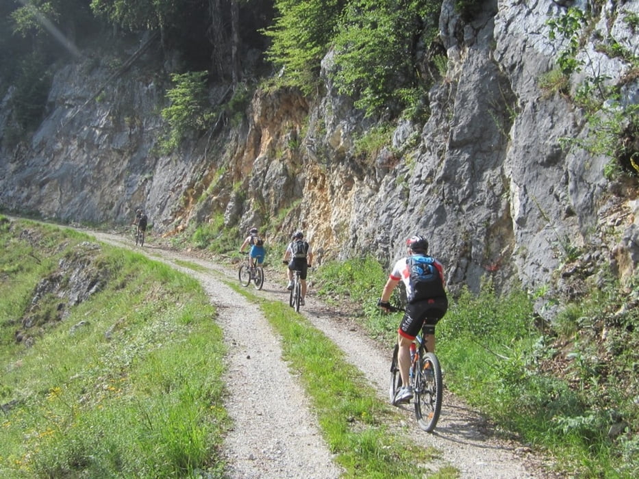
Poljane - Zg. Laze - Planina Ravne - Jerebikovec - Planina zg. Kozjak - Zakop - Škrbina - Poljane


Galerija izletov

Zemljevid in višinski profil izleta

  • Open Street Map
  • Google
Minimum height 644 m Maximum height 1643 m Prikaz podrobnosti

More about the tour author

BojC_
Member since 2013

Send private message

Komentarji

Poti GPS

Trackpoints
  • GPX / Garmin Map Source (gpx) download
  • TCX / Garmin Training Center® (tcx) download
  • CRS / Garmin Training Center® (crs) download
  • Google Earth (kml) download
  • G7ToWin (g7t) download
  • TTQV (trk) download
  • Overlay (ovl) download
  • Fugawi (txt) download
  • Kompass (DAV) Track (tk) download
  • List z izleti (pdf) download
  • Original file of the author (gpx) download

More about the tour author

BojC_
Member since 2013

Send private message
Share track
Add to my favorites
Remove from my favorites
Edit tags
My score
Rate
Izlet: Mežakla - Jerebikovec
Vrsta: Gorsko kolo
Dolžina: 36,6 km
Evaluated on:
Trajanje:
Day(s)
Hour(s)
Minute(s)
Ocena: Pokrajina Dejavnik zabave Kondicija Tehnika