Login

Si pozabil/a podatke za prijavo?

Cookies have to be accepted!
Your browser's cookie functionality is disabled. Please enable this functionality.

Not a member yet?

Register now
Login

Available for registred users only

Log in to use this feature.

Si pozabil/a podatke za prijavo?

Cookies have to be accepted!
Your browser's cookie functionality is disabled. Please enable this functionality.

Not a member yet?

Register now
Filter
Kategorije
Advanced filters
  • Dolžina (km)
  • Metri nadmorske višine
Shrani filter Reset filter

TrackRank

QRCode

Technical data

Dolžina3,9 km Metri nadmorske višine0 m Way down0 m Trajanje00:00 h:m Datum18.11.2013
Ocene Author Pokrajina Dejavnik zabave Kondicija Tehnika

Statistika

451 Pogledi Ocene 7 Prenosi Povprečje
Rate
  • List z izleti
  • Prihod
  • Prenosi

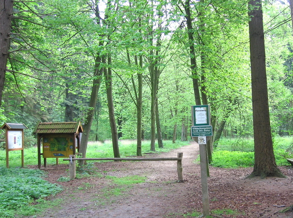
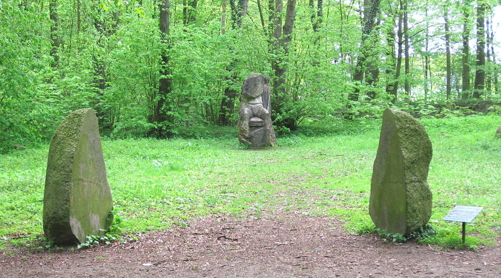
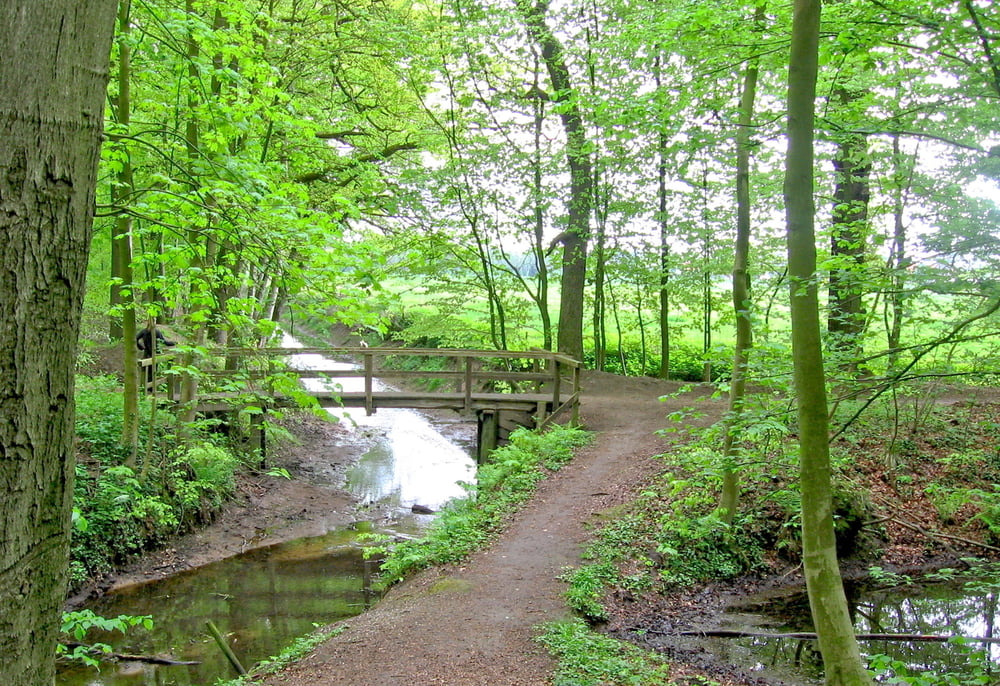
Eine kleine schöne Wanderoute die nur auf Waldwegen führt ( bis auf ein kleines Stück ruhiger Landstraße )

Festes Schuhwerk ist angebracht

Galerija izletov

Zemljevid in višinski profil izleta

  • Open Street Map
  • Google
Minimum height 99999 m Maximum height -99999 m Prikaz podrobnosti

More about the tour author

jupppi
Member since 2012

Send private message

Komentarji

Poti GPS

Trackpoints
  • GPX / Garmin Map Source (gpx) download
  • TCX / Garmin Training Center® (tcx) download
  • CRS / Garmin Training Center® (crs) download
  • Google Earth (kml) download
  • G7ToWin (g7t) download
  • TTQV (trk) download
  • Overlay (ovl) download
  • Fugawi (txt) download
  • Kompass (DAV) Track (tk) download
  • List z izleti (pdf) download
  • Original file of the author (gpx) download

More about the tour author

jupppi
Member since 2012

Send private message
Share track
Add to my favorites
Remove from my favorites
Edit tags
My score
Rate
Izlet: Wittenheimerforst
Vrsta: Pešačenje
Dolžina: 3,9 km
Evaluated on:
Trajanje:
Day(s)
Hour(s)
Minute(s)
Ocena: Pokrajina Dejavnik zabave Kondicija Tehnika