Login

Si pozabil/a podatke za prijavo?

Cookies have to be accepted!
Your browser's cookie functionality is disabled. Please enable this functionality.

Not a member yet?

Register now
Login

Available for registred users only

Log in to use this feature.

Si pozabil/a podatke za prijavo?

Cookies have to be accepted!
Your browser's cookie functionality is disabled. Please enable this functionality.

Not a member yet?

Register now
Filter
Kategorije
Advanced filters
  • Dolžina (km)
  • Metri nadmorske višine
Shrani filter Reset filter

TrackRank

QRCode

Technical data

Dolžina76,4 km Metri nadmorske višine1214 m Way down1201 m Trajanje04:20 h:m Datum22.11.2013
Ocene Author Pokrajina Dejavnik zabave Kondicija Tehnika

Statistika

1102 Pogledi Ocene 163 Prenosi Povprečje
Rate
  • List z izleti
  • Prihod
  • Prenosi
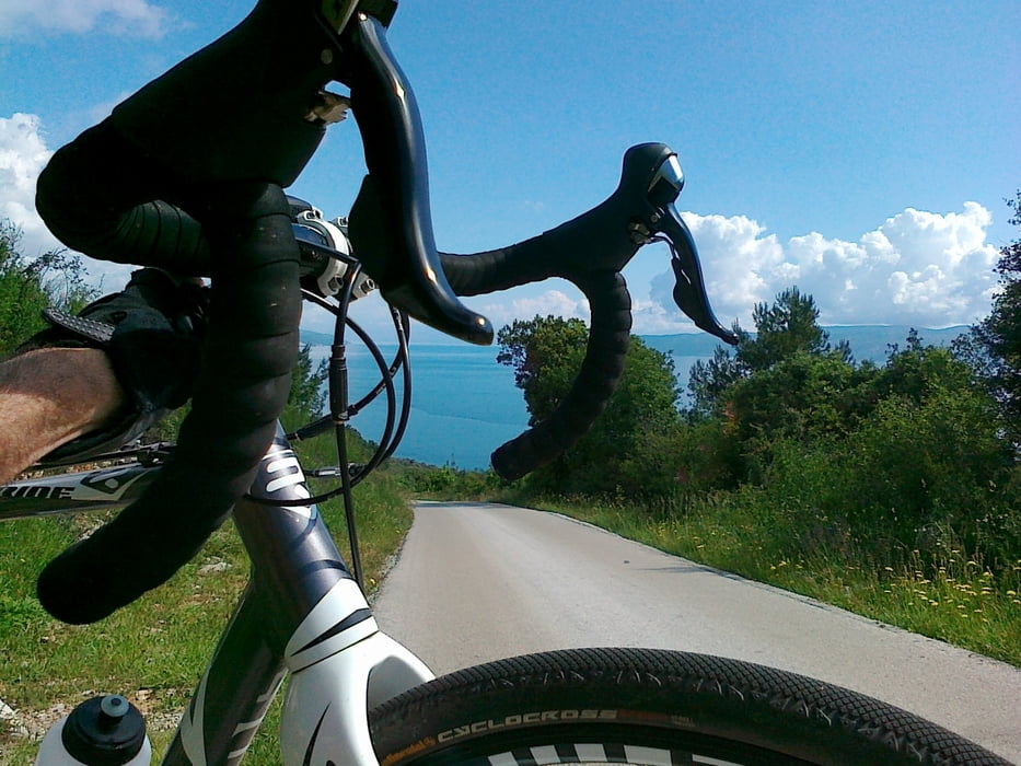
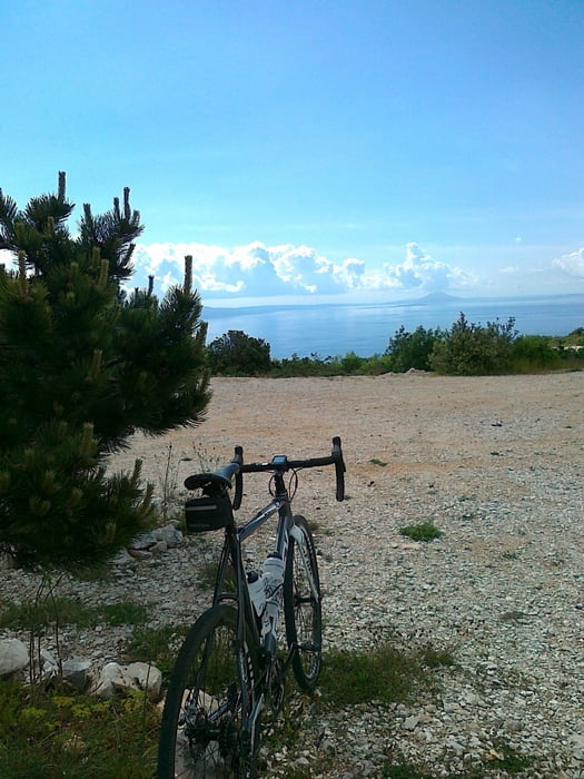
Schöne Rampen, Ausblick aufs Meer und kleine Nebenstraßen, teilweise nicht asphaltiert - ideal für Cyclocross, MTB oder Trekking-Rad! 

Galerija izletov

Zemljevid in višinski profil izleta

  • Open Street Map
  • Google
Minimum height 10 m Maximum height 448 m Prikaz podrobnosti

More about the tour author

CF2008
Member since 2011

Send private message

Komentarji

Poti GPS

Trackpoints
  • GPX / Garmin Map Source (gpx) download
  • TCX / Garmin Training Center® (tcx) download
  • CRS / Garmin Training Center® (crs) download
  • Google Earth (kml) download
  • G7ToWin (g7t) download
  • TTQV (trk) download
  • Overlay (ovl) download
  • Fugawi (txt) download
  • Kompass (DAV) Track (tk) download
  • List z izleti (pdf) download
  • Original file of the author (gpx) download

More about the tour author

CF2008
Member since 2011

Send private message
Share track
Add to my favorites
Remove from my favorites
Edit tags
My score
Rate
Izlet: Crosser-Tour um Labin
Vrsta: Gorsko kolo
Dolžina: 76,4 km
Evaluated on:
Trajanje:
Day(s)
Hour(s)
Minute(s)
Ocena: Pokrajina Dejavnik zabave Kondicija Tehnika