


The national park is fantastic and you have so many fantastic views, that you must go there to join it no word can replace the adventure.
The bike ride is also a good tour with elevation of 5-7% and some minor pikes at 8-9% but only in less than 100 meters at a time. Therefor the most bike riders can do the tour without any problems. If you have not been riding mountains before, the tour would be to demanding for you.
You can easily add more kilometers to the tour and I also found elevations over 6-7 kilometers with an average of 10-13% that you can add to the tour, ex. from Riano to Goriano Sicoli, road SP9.
I started In Gagliano Aterno where I stayed at www.sottoilcastello.dk
Galerija izletov
Zemljevid in višinski profil izleta
Minimum height 488 m
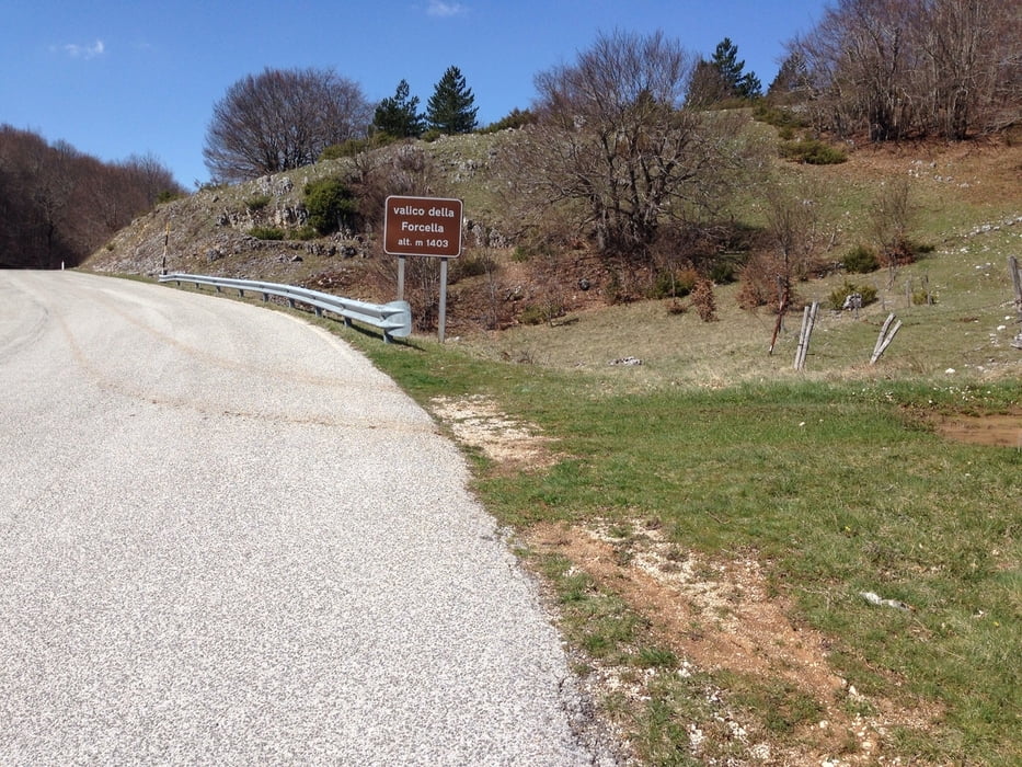
Maximum height 1397 m
More about the tour author
|
|
svanner |
Komentarji

Poti GPS
Trackpoints-
GPX / Garmin Map Source (gpx) download
-
TCX / Garmin Training Center® (tcx) download
-
CRS / Garmin Training Center® (crs) download
-
Google Earth (kml) download
-
G7ToWin (g7t) download
-
TTQV (trk) download
-
Overlay (ovl) download
-
Fugawi (txt) download
-
Kompass (DAV) Track (tk) download
-
List z izleti (pdf) download
-
Original file of the author (gpx) download
More about the tour author
|
|
svanner |
Add to my favorites
Remove from my favorites
Edit tags
Open track
My score
Rate