
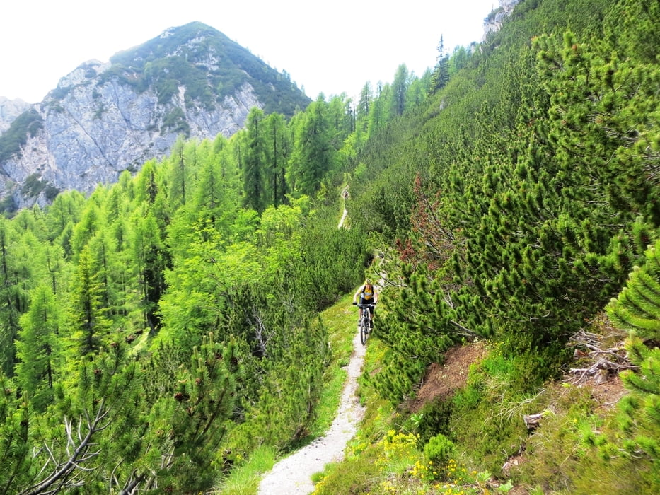

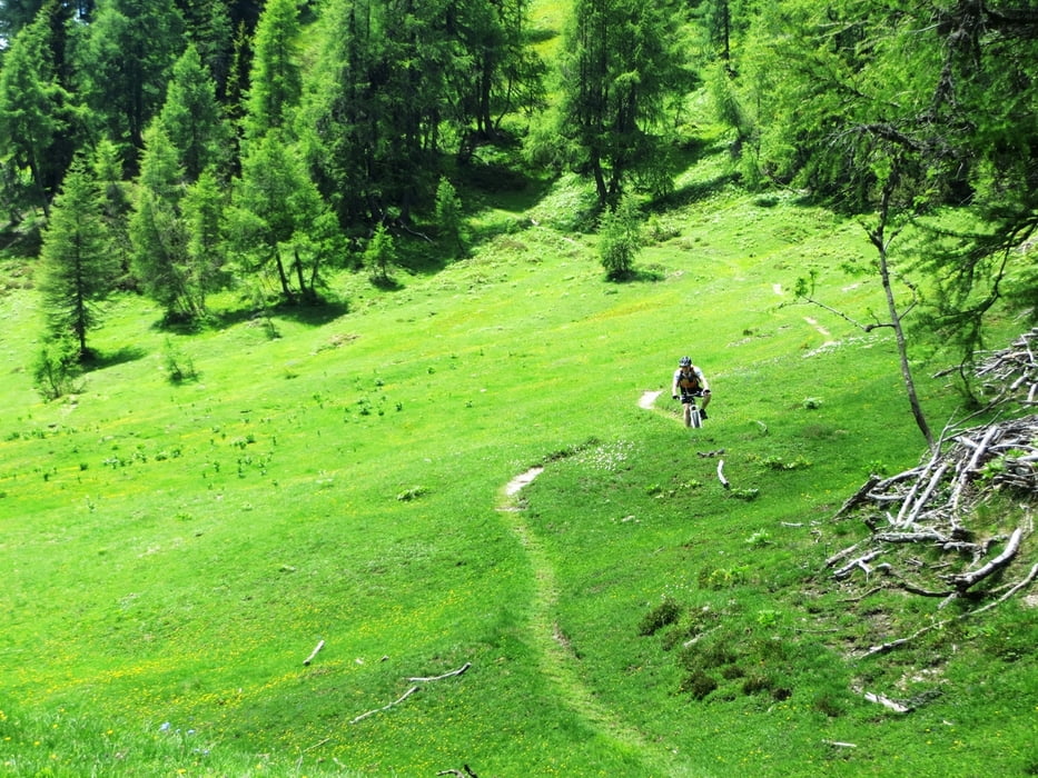
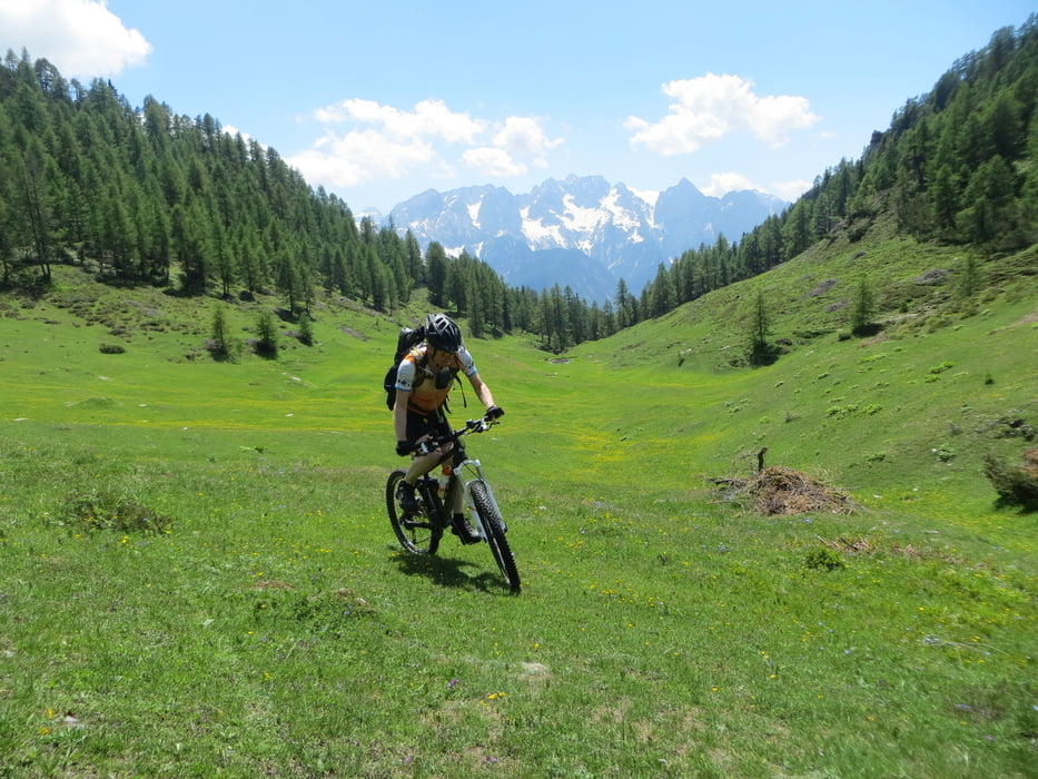
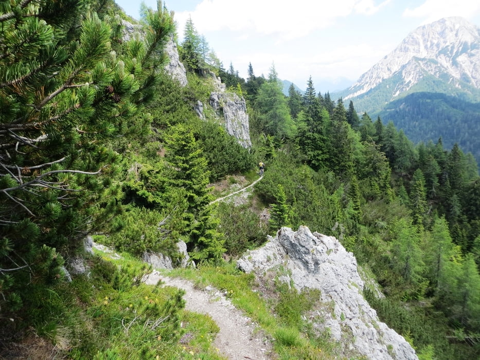
Galerija izletov
Zemljevid in višinski profil izleta
Minimum height 707 m
Maximum height 1829 m
More about the tour author
|
|
DAMJAN |
Komentarji
Poti GPS
Trackpoints-
GPX / Garmin Map Source (gpx) download
-
TCX / Garmin Training Center® (tcx) download
-
CRS / Garmin Training Center® (crs) download
-
Google Earth (kml) download
-
G7ToWin (g7t) download
-
TTQV (trk) download
-
Overlay (ovl) download
-
Fugawi (txt) download
-
Kompass (DAV) Track (tk) download
-
List z izleti (pdf) download
-
Original file of the author (gpx) download
More about the tour author
|
|
DAMJAN |
Add to my favorites
Remove from my favorites
Edit tags
Open track
My score
Rate
Comment
wir haben die tour leider nur bis km 11 gesehen, weil wir dann wegen regen früher runter mussten (und sie bis dahin auch schon ganz schön zeit gefressen hatte). bis dahin war sie zwar landschaftlich schön, aber seeeehr schweißtreibend und nur schlecht fahrbar.
der trail folgt dem höhenwanderweg, dürfte dadurch ausgesetzt, steinig und steil abfallend sein.
wir sind relativ jung, fit, halbwegs erfahren und einige noch ohne irgendwelche sturzerfahrungen, die sie haben vorsichtig werden lassen - den schmalen trail auf der spitze ab km 9 sind alle von uns geschoben.
Super steep ascend on a very rocky path, mostly pushing you bike. at the top: a super narrow footpath (trail for hikers) which only experienced and swindle-free bikers will ride with pleasure.
due to rain we had to descend earlier so we haven't seen the second part. anyways: this one is exhausting and demanding...
______________________________________________________