Login

Si pozabil/a podatke za prijavo?

Cookies have to be accepted!
Your browser's cookie functionality is disabled. Please enable this functionality.

Not a member yet?

Register now
Login

Available for registred users only

Log in to use this feature.

Si pozabil/a podatke za prijavo?

Cookies have to be accepted!
Your browser's cookie functionality is disabled. Please enable this functionality.

Not a member yet?

Register now
Filter
Kategorije
Advanced filters
  • Dolžina (km)
  • Metri nadmorske višine
Shrani filter Reset filter

TrackRank

QRCode

Technical data

Dolžina67,5 km Metri nadmorske višine689 m Way down698 m Trajanje00:00 h:m Datum07.07.2014
Ocene Author Pokrajina Dejavnik zabave Kondicija Tehnika

Statistika

459 Pogledi Ocene 42 Prenosi Povprečje
Rate
  • List z izleti
  • Prihod
  • Prenosi

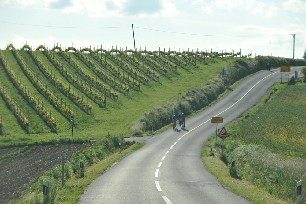
Lokalci zovu ovaj kraj hrvatskim Ardenima a nakon ove staze
biti će vam jasno i zašto. Izmjene različitih i lijepih krajolika,
od od brežuljaka pa do ravnice i šume, stalno se izmjenjuju
i na kraju završavaju u hotelu. Predivna staza na kojoj se ima
šta za vidjeti i odlična je staza za doživjeti sve ljepote ovoga
kraja. Preporuka: voziti lijevi krug.

The locals call this part the Croatian Ardennes and after you’ve tried this trail you will understand why. Change of scenery that happens before your eyes while you ride is why this trail is the best to experience the beauty of this region. Different and beautiful landscapes, from little hills to the plains and forests lead you through this picturesque trail that ends right in front of the hotel.Recommendation: ride the left circle.

http://spa-sport.hr
http://www.adriabike.hr
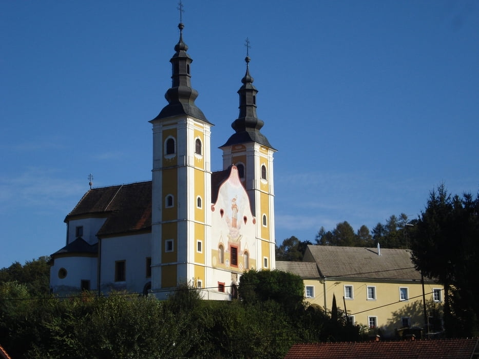
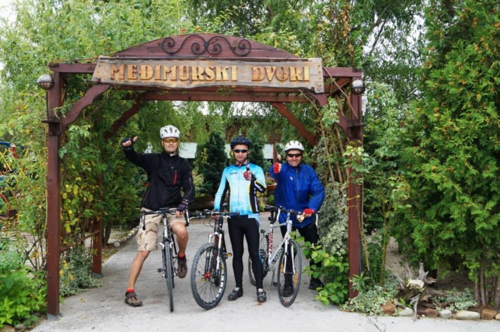
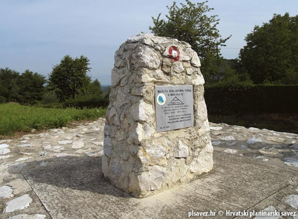
Galerija izletov

Zemljevid in višinski profil izleta

  • Open Street Map
  • Google
Minimum height 165 m Maximum height 347 m Prikaz podrobnosti

More about the tour author

AdriaBikeHotels
Member since 2014

Send private message

Komentarji

Poti GPS

Trackpoints
  • GPX / Garmin Map Source (gpx) download
  • TCX / Garmin Training Center® (tcx) download
  • CRS / Garmin Training Center® (crs) download
  • Google Earth (kml) download
  • G7ToWin (g7t) download
  • TTQV (trk) download
  • Overlay (ovl) download
  • Fugawi (txt) download
  • Kompass (DAV) Track (tk) download
  • List z izleti (pdf) download
  • Original file of the author (gpx) download

More about the tour author

AdriaBikeHotels
Member since 2014

Send private message
Share track
Add to my favorites
Remove from my favorites
Edit tags
My score
Rate
Izlet: Sv. Martin na Muri. Road Staza br. 3.
Vrsta: Dirkalno kolo
Dolžina: 67,5 km
Evaluated on:
Trajanje:
Day(s)
Hour(s)
Minute(s)
Ocena: Pokrajina Dejavnik zabave Kondicija Tehnika