Login

Si pozabil/a podatke za prijavo?

Cookies have to be accepted!
Your browser's cookie functionality is disabled. Please enable this functionality.

Not a member yet?

Register now
Login

Available for registred users only

Log in to use this feature.

Si pozabil/a podatke za prijavo?

Cookies have to be accepted!
Your browser's cookie functionality is disabled. Please enable this functionality.

Not a member yet?

Register now
Filter
Kategorije
Advanced filters
  • Dolžina (km)
  • Metri nadmorske višine
Shrani filter Reset filter

TrackRank

QRCode

Technical data

Dolžina14,9 km Metri nadmorske višine628 m Way down634 m Trajanje05:39 h:m Datum16.08.2014
Ocene Author Pokrajina Dejavnik zabave Kondicija Tehnika

Statistika

418 Pogledi Ocene 33 Prenosi Povprečje
Rate
  • List z izleti
  • Prihod
  • Prenosi

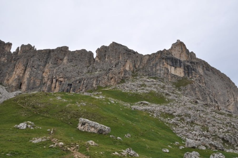
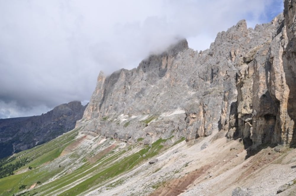
Ausgangspunkt Bergstation Rosengartenlift

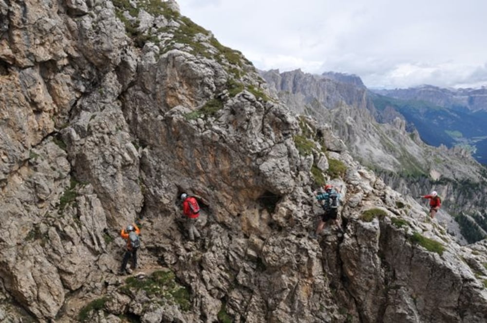
Weiter zur Rotwandhütte dann links hinauf zur Punta Masare

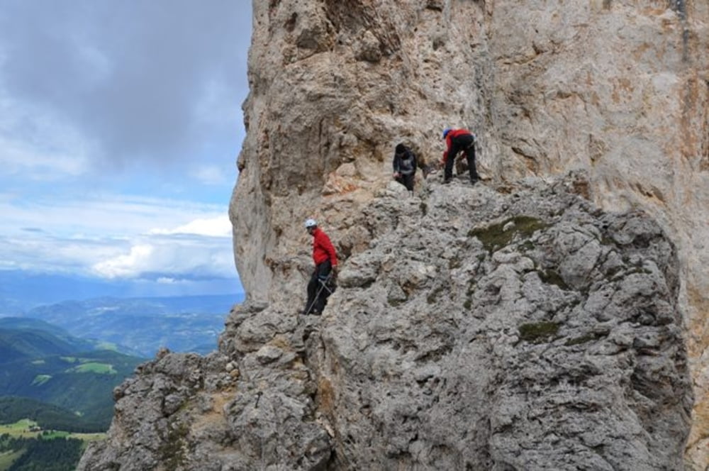
Vom Ende der Versicherungen in einer Viertelstunde zur Rotwandhütte zurück.

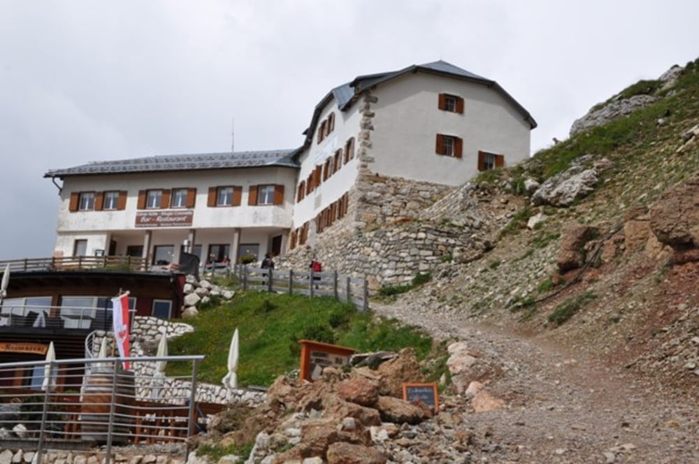
Danach wanderung zur Rosengartenhütte und zurück zum Rosengartenlift


Galerija izletov

Zemljevid in višinski profil izleta

  • Open Street Map
  • Google
Minimum height 2079 m Maximum height 2563 m Prikaz podrobnosti

More about the tour author

harald07071
Member since 2008

Send private message

Komentarji

Auf der A22 bis zur Ausfahrt Bozen Nord und über die SS241 Richtung Karerpass bis Carezza


Poti GPS

Trackpoints
  • GPX / Garmin Map Source (gpx) download
  • TCX / Garmin Training Center® (tcx) download
  • CRS / Garmin Training Center® (crs) download
  • Google Earth (kml) download
  • G7ToWin (g7t) download
  • TTQV (trk) download
  • Overlay (ovl) download
  • Fugawi (txt) download
  • Kompass (DAV) Track (tk) download
  • List z izleti (pdf) download
  • Original file of the author (gpx) download

More about the tour author

harald07071
Member since 2008

Send private message
Share track
Add to my favorites
Remove from my favorites
Edit tags
My score
Rate
Izlet: Masare Klettersteig (2650m)
Vrsta: Plezalna pot
Dolžina: 14,9 km
Evaluated on:
Trajanje:
Day(s)
Hour(s)
Minute(s)
Ocena: Pokrajina Dejavnik zabave Kondicija Tehnika