Login

Si pozabil/a podatke za prijavo?

Cookies have to be accepted!
Your browser's cookie functionality is disabled. Please enable this functionality.

Not a member yet?

Register now
Login

Available for registred users only

Log in to use this feature.

Si pozabil/a podatke za prijavo?

Cookies have to be accepted!
Your browser's cookie functionality is disabled. Please enable this functionality.

Not a member yet?

Register now
Filter
Kategorije
Advanced filters
  • Dolžina (km)
  • Metri nadmorske višine
Shrani filter Reset filter

TrackRank

QRCode

Technical data

Dolžina15,0 km Metri nadmorske višine1230 m Way down1223 m Trajanje06:15 h:m Datum18.08.2014
Ocene Author Pokrajina Dejavnik zabave Kondicija Tehnika

Statistika

497 Pogledi Ocene 35 Prenosi Povprečje
Rate
  • List z izleti
  • Prihod
  • Prenosi

Aufstieg: 2Std. 50min.

Abstieg: 3Std. 25min.

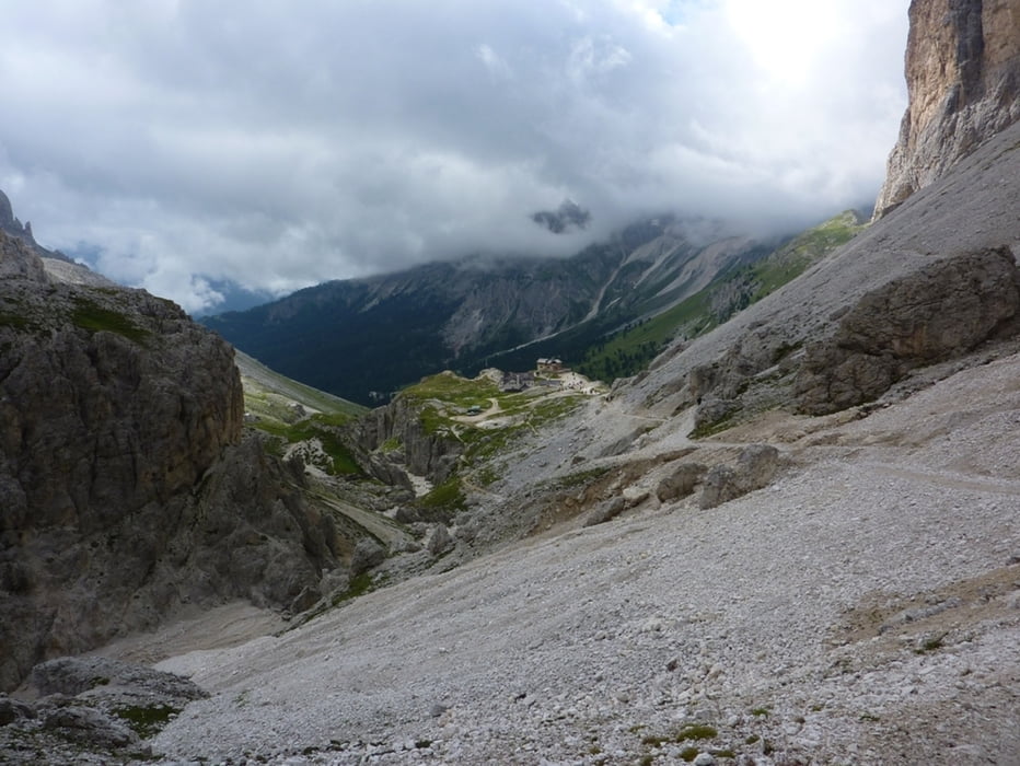
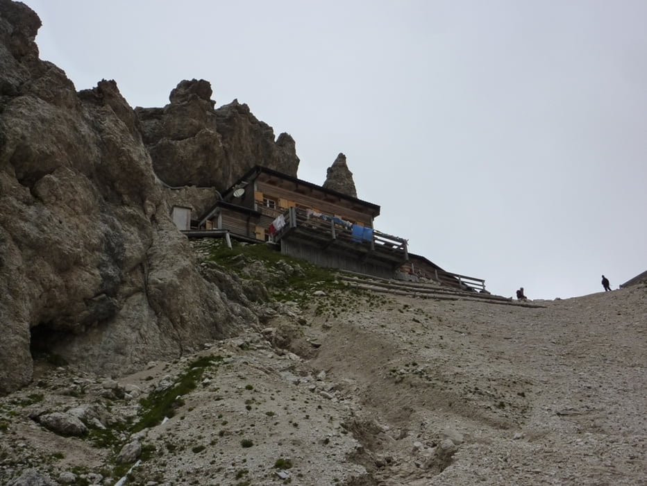
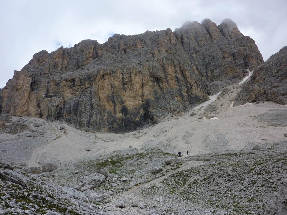
Zustieg von Rif. Gardeccia zum Rif. Vajolet dann weiter zur Grasleitenhütte auf den gleichnamigen Pass hinauf.

Der Klettersteigeinstieg von Westen liegt nur wenige Meter östlich von der Passhöhe.

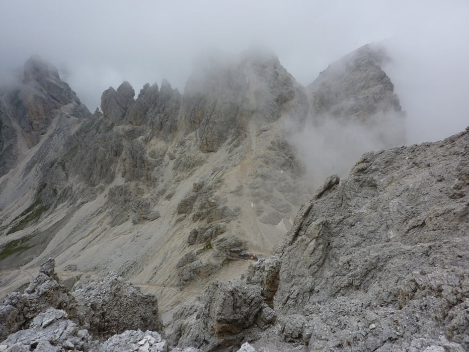
Abstieg über den Ostanstiegbis ins Antermoiapass von dort Richtung Grasleitenhütte und auf den selben Weg zurück

Galerija izletov

Zemljevid in višinski profil izleta

  • Open Street Map
  • Google
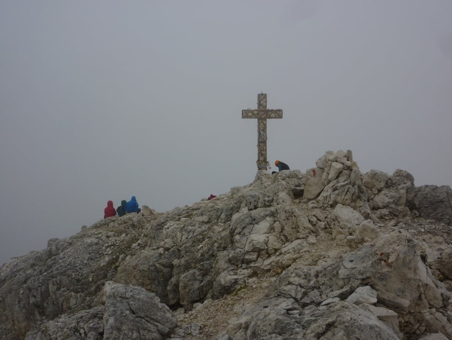
Minimum height 1921 m Maximum height 2953 m Prikaz podrobnosti

More about the tour author

harald07071
Member since 2008

Send private message

Komentarji

A22 Autobahnausfahrt Bozen Nord und auf der SS241 über den Karerpass nach Pera.

Von dort mit einem Shuttle Bus zum Rif. Gardeccia.


Poti GPS

Trackpoints
  • GPX / Garmin Map Source (gpx) download
  • TCX / Garmin Training Center® (tcx) download
  • CRS / Garmin Training Center® (crs) download
  • Google Earth (kml) download
  • G7ToWin (g7t) download
  • TTQV (trk) download
  • Overlay (ovl) download
  • Fugawi (txt) download
  • Kompass (DAV) Track (tk) download
  • List z izleti (pdf) download
  • Original file of the author (gpx) download

More about the tour author

harald07071
Member since 2008

Send private message
Share track
Add to my favorites
Remove from my favorites
Edit tags
My score
Rate
Izlet: Kesselkogel Überschreitung (3002m)
Vrsta: Plezalna pot
Dolžina: 15,0 km
Evaluated on:
Trajanje:
Day(s)
Hour(s)
Minute(s)
Ocena: Pokrajina Dejavnik zabave Kondicija Tehnika